Download
1 / 6
60 likes | 238 Vues
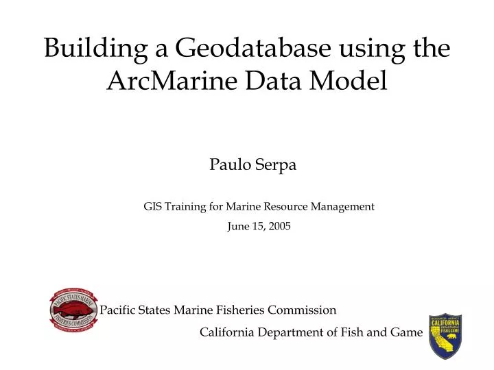
Building a Geodatabase using the ArcMarine Data Model. Paulo Serpa. GIS Training for Marine Resource Management June 15, 2005. Pacific States Marine Fisheries Commission California Department of Fish and Game. What’s Covered. A general overview of the ESRI geodatabase

E N D
Building a Geodatabase using the ArcMarine Data Model Paulo Serpa GIS Training for Marine Resource Management June 15, 2005 Pacific States Marine Fisheries Commission California Department of Fish and Game
What’s Covered • A general overview of the ESRI geodatabase • An overview of the data that we will be modeling • A demonstration using the ArcMarine Data Model to build a geodatabase • An exercise in building a geodatabase
By the end of the Tutorial you will be able to: • List the basic elements of a geodatabase • Import an existing schema into a new database • Compare your data structure with that of an existing data model • Condition your data and schema to match • Load data • Create new relationships between data • Import additional schema and data from various sources • Create and load a Raster Catalog • Display your data using Dynamic Segmentation • Query data through relationships
Geodatabase Elements • Feature Datasets • Enforces common spatial reference • Feature classes – Polygon, Line, Point, Annotation, Route, Dimension, Route • Relationship Classes • Geometric Networks • Topology • Tables • Raster datasets • Raster Catalogs • Survey Datasets • Toolboxes • Behavior control • Attribute defaults, Attribute domains, Relationship rules, Topology rules
Sample Data • Our goal is to model the transect path of the ROV and the (video) observations that were made. • The ROV path and the observations on that path can be located in the X, Y and Z axes at discrete time intervals during a dive.