Download
1 / 13
140 likes | 156 Vues
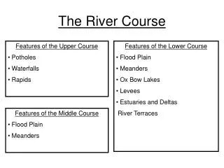
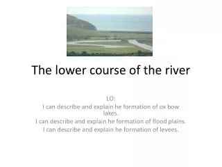
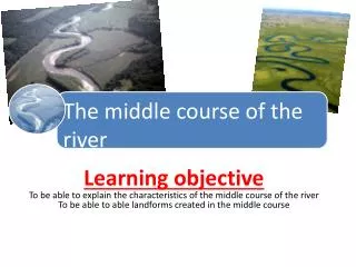
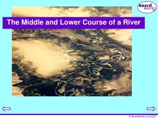
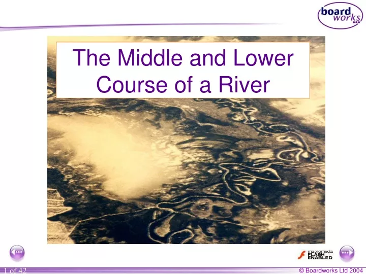
The Middle and Lower Course of a River. What landforms are found in the middle and lower course?. Meanders Oxbow Lakes Floodplains and Leve é s Deltas. Meander = a bend in a river. Oxbow lakes. Oxbow lakes.

E N D
What landforms are found in the middle and lower course? • Meanders • Oxbow Lakes • Floodplains and Leveés • Deltas
Oxbow lakes When the river floods it breaks through the thin meander neck and the river takes the easier, straight course. This leaves the meander loop ‘cut off’ as an oxbow lake. Over time, the oxbow lake will become colonised by vegetation. new course of the river Meander neck becomes smaller oxbow lake
Meander bend on the River Conwy A B Explain why there is more deposition at ‘A’ rather than at ‘B’.
Sketch this plan view of a meander bend and label the line of highest velocity.
Draw the following four diagrams in the correct order of oxbow lake formation. Match 3 of the diagrams with the most appropriate explanation from ‘A’, ‘B’ and ‘C’. 2. 3. 4. X =erosion on the outside of the meander bend 1. X X X X X A. The river floods and erodes through the thin meander neck. The river now takes the easier, straight course. The meander loop is left as an oxbow lake. B. The river meanders. The fastest flow is therefore on the outside of the bend. This fast current erodes the meander neck through the processes of erosion. C. The meander neck is further eroded until only a thin piece of land separates the two channels.
Floodplain formation Floodplains and levees are formed by deposition in times of river flood. The river’s load is composed of different sized particles. When a river floods it deposits the heaviest of these particles first. The larger particles, often pebble-sized, form the leveés. The sands, silts and clays are similarly sorted with the sands being deposited next, then the silts and finally the lightest clays. This deposition makes up the floodplain.
leveés clays and silts sands This is a cross section of a floodplain. Draw a simple sketch of the diagram and annotate with the following labels:
The River Conwy has deposited material in this section of its course. Suggest reasons why this has happened.