Download
1 / 5
320 likes | 1.28k Vues
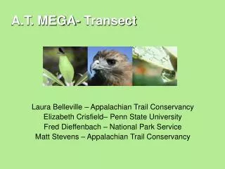
Field exercise: Transect Walk. USAID Staff & Partner Environmental Training Kinshasa, DRC 24-26 June 2008. The transect methodology . TRANSECT= a path along which one observes and records environmental attributes of interest, e.g.

E N D
Field exercise: Transect Walk USAID Staff & Partner Environmental TrainingKinshasa, DRC 24-26 June 2008
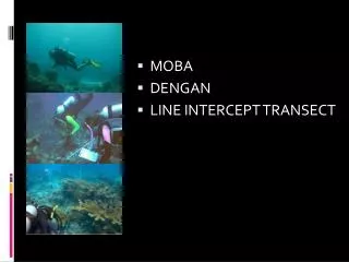
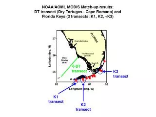
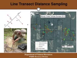
The transect methodology • TRANSECT=a path along which one observes and records environmental attributes of interest, e.g. • Key species counts (record number of observations, distance from the transect line—a classic technique for estimating populations of key species and thus assessing ecosystem health) • Economic use • Land cover • Soil profiles • Etc. Used in many disciplines: ecology & NRM, landscape characterization for integrated agricultural development, urban planning etc. . . Transect Walk Field Exercise. visit www.encapafrica.org
Our assignment • “Integrated transect” approach focusing on • Economic uses and activities • Natural landscape and human interventions • Environmental health • i.e., How healthy is the environment for the people who live in it? Objective Use a systematic, structured approach to practice field observation from an environmental perspective. Transect Walk Field Exercise. visit www.encapafrica.org
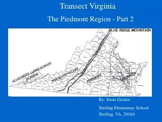
Recording transect results • Part 1: Map showing transect path Our assignment today Just kidding. Path of the 1999 Central African “Megatransect” by Ecologist J Michael Fay & his team (15 months, 2000+ km) Image: National Geographic. Articles and images at www.nationalgeographic.com Transect Walk Field Exercise. visit www.encapafrica.org
Recording transect results • Part 2: Transect diagram Topological & HydrologicalZones Example from an integrated transect focused on agro-ecosystem characterization Elevation profile Relative elevation (m) Soil profiles From N. van Duivenbooden et al. Landscape & Urban Planning 34 (1996), 143-160. Land cover (crop types, woodland, scrub, etc) & topographic features (paths, roads, drainage, streams, etc.) Orthogonal distance (m) Horizontal Distance (m) Transect Walk Field Exercise. visit www.encapafrica.org