Download
1 / 35
350 likes | 490 Vues
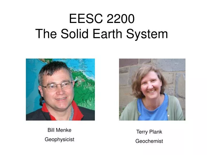
EESC 2200 The Solid Earth System. Bill Menke Geophysicist. Terry Plank Geochemist. Survey. Your major? DEES/Env DEES/Earth DE3B DEEE BCES Other Have you taken? 2100-Climate 2300-Life Summer activities team sports hiking boating science-related internships.

E N D
EESC 2200The Solid Earth System Bill Menke Geophysicist Terry Plank Geochemist
Survey Your major? DEES/Env DEES/Earth DE3B DEEE BCES Other Have you taken? 2100-Climate 2300-Life Summer activities team sports hiking boating science-related internships
Monday 2:40-3:55 Monday meetings will always be a formal lecture But note ... questions and discussion are always encouraged
Wednesday 2:40-3:55 Wednesday meetings will not always be a formal lecture We will also have Class discussions Case Studies Projects and Tutorials
Monday 4:05-7:00 Our second meeting on Monday will be a lab It will be conducted by our two TA’s Lisa Streit and Tianxia Jia Because of the large class size this year, we will break it into two sessions 4:05-5:30 and 5:35-7:00 Lab Reports are required
Text and Required Readings Earth: Portrait of a Planet, Third Edition by Stephen Marshak; Publisher: Norton, W. W. & Company, Inc. ISBN-13: 9780393930368 Available at Barnes & Noble Required readings will be posted on Courseworks (This week – Chapters 1 & 2 )
Inflatable Globe You will need an inflatable globe Available from the Department for a small fee See the TA’s Globe needed for first two labs
Required full-day fieldtrip Owing to the large class size, we will be hold two trips, one on Saturday October 18, 2008 And the other on Sunday October 19, 2008 You may opt to write a term paper in lieu of attending the fieldtrip
Homeworkwill be assigned periodicallyyou will be given at least 1 week to complete each assignmentthey will be due in hardcopy at the start of a designated class(no homework has yet been assigned)
Grading25 % Homework25 % Lab Report25 % Midterm25% Final-15% miss fieldtrip and no term paperwe almost never violate class rank inassigning gradesBill & Terry have a written grading policy:www.ldeo.columbia.edu/users/menke/gradingpolicy.html
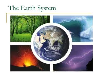
Today’s Discussion: The significance ofContinents and Oceans
Although this is a course mainly about the physical aspects of the earth, let’s start with a social question … What significance have "continents" and "oceans" had for human history
Let’s move onto a question concerning climate …(how many of you have taken EESC2100 The Climate System)? What significance have "continents" and "oceans" had for climate
Let’s move onto a question concerning biology …(how many of you have taken EESC2300 The Life System)? What significance have "continents" and "oceans" had for the development of life on earth?
The surface of the earth can be divided into oceans and continents.Do they have significance beyond the obvious fact that one is wet and the other dry, one is low and the other is high?
Let’s examine aGlobal Topographic Dataset This data viewer is at http://ingrid.ldgo.columbia.edu/SOURCES/.WORLDBATH/.bath/html+viewer?
Viewer can makea topographicprofile sea level
Is this the kind of profilethat you would get by pouring water on any-old irregular surface ?
Examine the boundary betweencontinent and ocean … sea level Very sharp change in topography …
Idealization: world has two levelscontinental level and ocean level … continental level ocean level Doesn’t work everywhere … e.g. Andes Mountains
Topography at 9500 random points around the globe. Why is the density of points greatest at the equator?
Histogram of elevations Narrow range of continental levels Most data between -150 meters to 1500 meters Somewhat less narrow range of ocean levels Most data between -5000 meters to -3000 meters
The earth colored to bring out the geographic distribution of these two levels
Why are there just two levels?(why not 3?)Why is the boundary between the two levels so sharp?What controls the depth of each level?Why is the top level close to – but not exactly at - sea level?Does water level control continental level; does continental level control sea level?
A planetary science approach(fun, but dreadfully expensive …)