Download
1 / 23
230 likes | 235 Vues
Explore the benefits of integrating elevation and hydrography data for watershed modeling, floodplain mapping, and other complex analysis tasks. Learn about the challenges and the potential of integrating these two important layers of geospatial data.

E N D
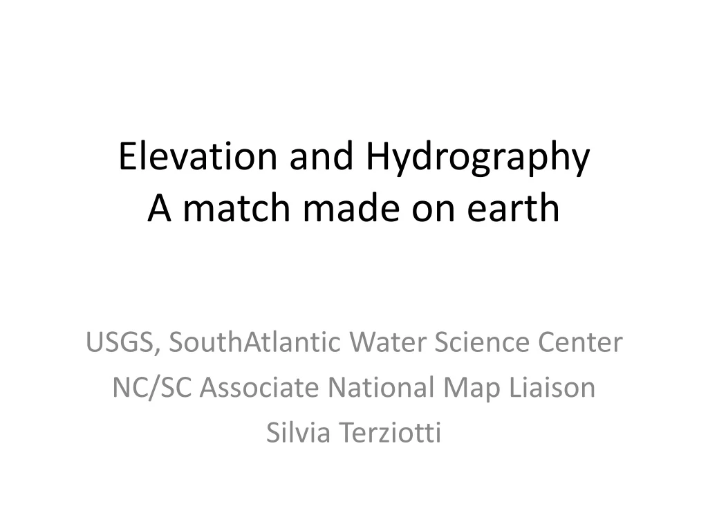
Elevation and HydrographyA match made on earth USGS, SouthAtlantic Water Science Center NC/SC Associate National Map Liaison Silvia Terziotti
Elevation and Hydrography are inherently linked One forms the other 2
USGS has had a long history of stovepiping GIS data Elevation Names Hydrography Boundaries Transportation Structures National Elevation Dataset National Hydrography Dataset 5
We have to think more like this… Hydrography Hydrography Elevation Elevation Layers that fit together And are reliant on each other Unfortunately often more like this… 14
NHDPlus packages many characteristics NHD VAA’s Catchments Channels Flow Grids Elevation 23
Allows for many complex analysis tasks to be done quickly because all the information is stored together in one data model
NHD and NED fit fairly well at 24K scale Good base for an NHDPlus product To be completed in 3 YEARS! 8
But the world of elevation data is changing and standards are too 10
Issues with NON-integrated hydrography and elevation data • Missed opportunity • StreamStats • WBD • Misalignment - development of streams and elevation layers separately • Floaters • Canyons • Major post-processing steps - elevation not ready for hydrological applications • Cost
1. Missed Opportunity: Example - impact on StreamStats • NC StreamStats is part of the a National application that calculates streamflow statistics and other basin characteristics for any point on a stream • Because we didn’t have vertically and horizontally integrated elevation and streams, we used “best available” (NHD) with the elevation so we could make full use of StreamStats tools • High-resolution NHD is a very good geographic representation of streams in NC, but the alignment was off in enough places that we decided to resample the lidar to a 10 meter cell size to minimize the offsets.
Implicationsof using a non-aligned streams dataset include: • Perpetuating errors in alignment of the streams data • Not capturing any recent changes in stream channels • Not capturing headwater, intermittent and ephemeral streams not included in the high-resolution NHD • Misalignment with imagery and other newer geospatial resources • Cascading effect in derivative products • Watersheds • Stream lengths • Slopes, etc
Watershed implications as well Discrepancies greatest in the coastal plain, but differences in alignment throughout the State – We compromised and used lidar-derived HUC-8 boundaries and allowed the StreamStats application to generate internal catchment boundaries
2. Misalignment - non-synchronized development of elevation and hydrography product issues • In the past, contractors and users of lidar have created hydrologic breaklines separately from the data collection and processing of the lidar dataset. • Assigning z-values to the breaklines without using the lidar data directly can cause problems, such as: • temporal discrepencies between sources, • resolution of sources, and • multiple definitions of features collected between projects. • Data can also become corrupted by the breaklines: • Floaters – when a waterbody polygon is assigned a value that is higher than the surrounding area • Canyons – when a waterbody or stream segment is assigned a value that is much lower than the surrounding terrain
Some examples Streams burned in too far below surrounding elevation Temporal discrepancy Original surface With streams Waterbodies filled above surrounding elevation
3. Cost of further post-processingFlood inundation example If a stream feature is collected at the time of processing of the lidar, that identifies culverts and other stream features, the elevation surface can be hydro-enforced easily and in a way that is well-integrated into the surface. Multiple DEM’s can be created depending on the need. Flood stage 10 feet above stream. If an elevation surface is hydro-flattened, only the major waterbodies and double line streams are flattened. Roads and bridges with culverts beneath them act as dams. Flood inundation after channels added Flood inundation before channels added
Advantages to ele-hydro • Integration of streams and elevation for watershed modeling • Surface runoff models • Watershed delineation • Flow accumulations • Floodplain mapping • Easier integration with other National datasets • NHD • NED • Even landcover (with full point cloud)
USGS is trying to move away from the stovepipe concepts: Currently • A point cloud is collected with lidar. • This point cloud is used to create a bare earth surface digital elevation model (DEM) • The bare earth surface DEM is hydro-flattened = NED Hydrography is done as a separate process, if at all NHD is complete at the 24k scale so dependent on cooperators to fund new hydrography
Future We are currently testing a hydro-breakline feature specification to use with lidar-collections • Linefeatures can be collected and used for hydro-flattening the bare earth surface = NED • Other features can be used for hydro-enforcing the bare earth surface = WBD and Hydro-modeling • Hydro breaklines can be used as source streams = local-resolution NHD
This leads to a complete watershed perspective The full point cloud can be used to integrate vegetation type and impervious surfaces into a well-integrated approach to defining watershed characteristics
Still in testing and development stage • USGS has started to query the user community and developer community. • The Hydrography Requirements and Benefits Study will answer some questions about how and what users need for hydrography. • The 3DEP program was developed based on the needs and uses gathered from the National Enhanced Elevation Assessment. • Must meet National needs and local needs. • May be looking at a new and different data model in the future that integrates more datasets.
Resources • Jeff Simley, NHD lead, jdsimley@usgs.gov • http://nhd.usgs.gov/index.html • http://nhd.usgs.gov/wbd.html • http://www.horizon-systems.com/nhdplus/ • http://nationalmap.gov/3DEP/ Silvia Terziotti, seterzio@usgs.gov NC Associate National Map Liaison