Download
1 / 21
210 likes | 378 Vues
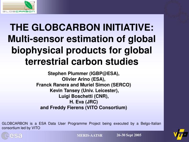
THE GLOBCARBON INITIATIVE: Multi-sensor estimation of global biophysical products for global terrestrial carbon studies. Stephen Plummer (IGBP@ESA), Olivier Arino (ESA), Franck Ranera and Muriel Simon (SERCO) Kevin Tansey (Univ. Leicester), Luigi Boschetti (CNR), H. Eva (JRC)

E N D
THE GLOBCARBON INITIATIVE: Multi-sensor estimation of global biophysical products for global terrestrial carbon studies Stephen Plummer (IGBP@ESA), Olivier Arino (ESA), Franck Ranera and Muriel Simon (SERCO) Kevin Tansey (Univ. Leicester), Luigi Boschetti (CNR), H. Eva (JRC) and Freddy Fierens (VITO Consortium) GLOBCARBON is a ESA Data User Programme Project being executed by a Belgo-Italian consortium led by VITO
Carbon Data Assimilation To feed in to this Earth observation must deliver long time series estimates of global vegetation behaviour.
The ‘Champion’ Users Four key research institutes and one key programme involved to specify needs and use products: Will examine the use of fire statistics in the MOZART-2 Atmospheric Chemistry model Will examine the use of GLOBCARBON products in the Lund-Potsdam-Jena (LPJ) DGVM Will examine the use of GLOBCARBON products with the Sheffield DGVM (S-DGVM) Will examine the use of GLOBCARBON products within LSCE DGVM and Atmospheric Chemistry models Will examine the use of GLOBCARBON products within OptIC model-data fusion experiment
General User Needs For Atmospheric Chemistry and Dynamic Global Vegetation Models: • There is a particular need for information on vegetation amount (ideally biomass or leaf area index), area burned, and vegetation temporal variability. • These should be global, in a consistent format, and all data products should be available from one place. • Consistency is more important than outright accuracy (within limits). • The products should be multi-annual with 5 years being the minimum but incorporating both average and extreme conditions e.g. El Ninõ. • Products should come with spatial heterogeneity information ideally at the highest available resolution. • The spatial resolution requirements are 0.5°, 0.25° and 10km. • The temporal resolution initially on a time step of 1 month but better higher, possibly bi-weekly.
Background The GLOBCARBON approach recognises the need to produce services from multiple satellite datasets because : • The required products are not sensor dependent • There is a need for long time series globally • There is a need for consistency and accuracy • Satellites/sensors fail • Sensors change and Programmes stop • New sensors become available
Objectives • develop a service quasi-independent of the original Earth Observation source. • focus on a system to estimate: • Burned area • fAPAR and LAI • Vegetation growth cycle • cover six complete years:1998 to 2003 (now up to 2007) • cover VEGETATION, ATSR-2, ENVISAT (AATSR, MERIS) • be applicable to existing archives and future satellite systems • be available at resolutions of ¼, ½ degree and 10km with statistics • build on the existing research experience
Burned Area GBA-2000 GLOBSCAR • 1 global (IFI) and 2 regional algorithms (GVM and UTL) • Each algorithm has associated with it confidence information (detection confidence from individual algorithms) • 2 global algorithms and each algorithm and sub-parts given a probability. • The resulting probability determines occurrence of a pixel as burned (detection confidence) • Results are merged to one product • Collocation with available active fire products used to increase confidence • Results at 1 km merged to give proportions at 10km, 0.25 and 0.5 degrees where 80% confident
Results – 1 km (Italy) July 1998 Confidence Rating Index (CRI) 63-74% 75-87% 88-100%
Results – 1 km (Angola) July 1998 Confidence Rating Index (CRI) 63-74% 75-87% 88-100%
Results –10 km (Australia) 1-10 11-20 21-30 31-40 41-50 51-60 61-70 71-80 81-90 91-100 Percentage of pixels with CRI > 80 in a 10*10km box
NW Australia – 10km May 99 May overlain with May Vectors May overlain with May Vectors
NW Australia 10km – May 99 May overlain with June Vectors May overlain with June Vectors
Leaf Area Index • a precursor effective LAI value for a pixel is first estimated from a general cover-type dependent Simple Ratio (SR)-LAI relationship, • BRDF kernels are calculated using the precursor effective LAI value (Chebyshev polynomials generated from fitting to model simulations). • Final effective LAI is calculated from the BRDF kernels and SR separately for each land cover class (GLC’2000) • Empirical clumping index for each land cover is used to calculate the final LAI. • Resultant LAI is smoothed to eliminate excessive variation using LOESS (localised weighted cubic splines)
LAI Results – 10 km water 0-0.5 0.6-1 1-2 2-3 3-4 4-5 5-6 6-7 7-8 8-9 9-10 > 10 no LAI June 1999
LAI Results – 0.5 degree 5 0 10
Fraction of APAR The fraction of photosynthetically active radiation absorbed by the canopy (fAPAR) is calculated as: ρ1and ρ2 are the PAR reflectance above and below the canopy with ρ2 controlled by FAO soils map; G(θ) is the light extinction coefficient = 0.5 for global scale application; β is the coefficient for light multiple scattering effect in the canopy = 0.9; Le is the effective LAI previously calculated. Each sensor estimate is provided separately for each day complete with all geometric information. Averaging is controlled by time (in day) and land cover (3 most populous)
fAPAR Results – 10km ATSR-2 VEGETATION
Vegetation Growth Cycle From 54 months of the previously calculated LAI product GLOBCARBON provides estimates of: • the start date of active growth (max first derivative); • end date of active growth (value below half seasonal range after the maximum); • location of peak growth; • duration of growth (start-end date); • value of LAI at peak
Phenology Results – 10km 1-50 water 51-100 201-300 151-200 126-150 101-125 no value Leaf On 1998
Conclusions • To feed in to the Global Carbon Project Earth observation must deliver long time series, consistent estimates of global vegetation behaviour complete with accuracy/quality figures. • GLOBCARBON will deliver 10 complete years (1998 to 2007) of global vegetation products to the DGVM and atmospheric chemistry modelling community at resolutions of ¼, ½ degree and 10 km. • GLOBCARBON has now enteredthe operational production phase and is currently undergoing validation and inter-comparison. • GLOBCARBON products are being supplied to the signed-in users to beta test and identify problems as a precursor to testing in model simulations • Product Release (1998-2003): January 2005
Acknowledgements • Many thanks to all the people who have contributed data for the validation of GLOBCARBON data especially: • DOLA for burned area validation in Australia • Siberia-II project for burned area validation in Siberia • Tom Bobbe (USFS) for burned area validation in USA • JRC for burned area validation in Africa • U. Lisbon for burned area validation in Africa • Warren Cohen for BigFoot LAI data • Frederic Baret and team for VALERI LAI data • Ranga Myneni/Jeff Privette for SAFARI LAI data • GLOBE/Metla/Plantwatch/Irkutsk Forest Inst for phenology data