Download
1 / 13
130 likes | 188 Vues
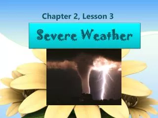
STATUS OF SEVERE WEATHER FORECASATING IN BURUNDI. In Burundi we make very short and short range weather forecasting ( from 1 to 3 days ) We make use of products from Global Centres such

E N D
STATUS OF SEVERE WEATHER FORECASATING IN BURUNDI. In Burundi wemakevery short and short range weatherforecasting (from 1 to 3 days) Wemake use of productsfrom Global Centres such as Germany Meteorological Service (DWD), NCEP, ECMWF and MSG products ( EUMETSAT Satellite Images) through INTERNET.
The high speed internet which we have just acquired allows us to get information from the products. • We use 850hPa current chart for streamline analysis in order to detect areas of wind convrgence and advection of Humidity either from the Lake Victoria or from Congo Air Mass.
700 hPaPrecipitation and vertical velocityForecast for the followingday
SATELLITE IMAGES. In order to follow diurnal convection and advection affecting the country we interprete houry satellite images from EUMETSAT channels IR 10.8 VISI 0.6 and water vapour 6.2 These images are also used for Nowcasting and very Short – Range weather forecasting and to verify the models.
Means of disseminating and communicating information to general public and socio –economicsectors • Wedissemite information mainlythroughtelephone network and Radio broadcating. Thesemeans are not adequate : weshould develop point to point (telephone services, facsimile , e.mail, teletype services and direct computer connections-video tapes) as means of dissemination system wheredisasterpreparedness and early warning information isavailableat the source and sent out to individual industries at a time on demand as opposed to the current system of point-to-multipoint using te media.
Relationship withdisaster management and civil protection authorities and media There must be a networking and viable communication links between NMHS and DMCPA and media. At times UNDP organizes workshops at which DMCPA and Meteorologists are invited. During the sessions we inform the audience about the importance of establishing permanent contact between NMHS and DMCPA for rapid intervention in case of disaster.
END THANK YOU