Download
1 / 33
330 likes | 460 Vues
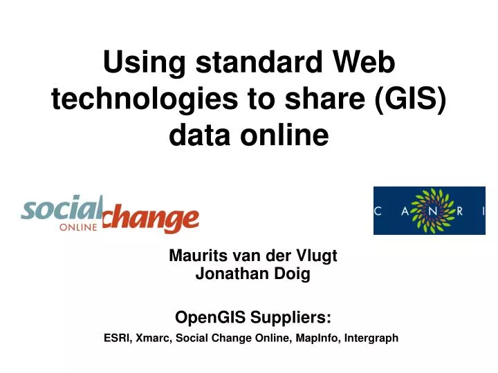
Using standard Web technologies to share (GIS) data online. Maurits van der Vlugt Jonathan Doig OpenGIS Suppliers: ESRI, Xmarc, Social Change Online, MapInfo, Intergraph. Agenda (1 st half). 1pm Welcome & agenda; Why open standards? Technical Overview 1:10 OpenGIS architecture

E N D
Using standard Web technologies to share (GIS) data online Maurits van der Vlugt Jonathan Doig OpenGIS Suppliers: ESRI, Xmarc, Social Change Online, MapInfo, Intergraph
Agenda (1st half) • 1pm Welcome & agenda; Why open standards? • Technical Overview • 1:10 OpenGIS architecture • 1:15 The OpenGIS web mapping specifications • 1:25 Standards-based implementations over NSW • Getting your data online • 1:35 1. steps & options • 1:45 2. freeware case study • 2:10 AFTERNOON TEA World Leaders in WebMapping Services
Agenda (2nd half) • OpenGIS-compliant products/services • 2:30 ESRI Quill Williams • 2:50 Xmarc (formerly Formida)Robert Christie/Roy Hill • 3:10 Social Change Online Maurits van der Vlugt • 3:30 MapInfo Ashley Crane • 3:50 Intergraph Norah Boyle • 4pm Close World Leaders in WebMapping Services
Why open standards? • Value of the network • Use each other's data in situ • Seamlessly integrate & link our information products • Avoid the need to centralise, so we can control our own data for security, Quality Control and updating World Leaders in WebMapping Services
Technical Overview • The OpenGIS Architecture • OpenGIS Webmapping Specifications • www.opengis.org World Leaders in WebMapping Services
The OpenGIS Architecture • From systems to services • ACORN Services (network addressable components) • Applications, Catalogs, Operators, Repositories, Network • Agreements (“standards”) • Protocols (HTML, XML, …) • Component interfaces (OGC) • Semantics (Metadata schemas, Controlled Vocabularies, Business rules, etc.) World Leaders in WebMapping Services
ACORN-services Repositories - Data storage and access. Catalogs and Brokers - Elements that find and access resources on a distributed network. Operator and Models - Processes that operate on information, also methods to describe these processes. Applications – Shared components such as viewers, editors, discovery clients and others.
How does it work? Interfaces based on the OpenGIS Specification World Leaders in WebMapping Services
How does it work? • The ‘buzzwords’ (TLA’s) • WMS (Web Map Server) • WFS (Web Feature Server) • G3 (Geoparser, Gazetteer, Geocoder) • LOF (Location Organising Folder) • XML (Extensible Markup Language) • GML (Geographic Markup Language) World Leaders in WebMapping Services
OGC Specifications (1) • WebMap Specifications released (XML, CGI) (see: http://www.opengis.org/techno/specs.htm) • Catalog Interface • Web Map Server (WMS) • Geography Markup Language (GML) • Other (non-webmap: CORBA, SQL, etc.) • Simple Features • Grid Coverages • Coordinate Transformation Service World Leaders in WebMapping Services
OGC Specifications (2) • Current work (Webmapping) • Web Feature Server (WFS) • GML 3 • 3G: Gazetteer, Geocoder, Geoparser • Location Organiser Folder (LOF) World Leaders in WebMapping Services
Map Broker NSW OpenGIS services: CANRI architecture Network Applications: “SGUI app-builder” Operators: broker, renderer, reprojection Catalog: exploring OpenGIS standard Free data Repositories: DSLITE, MapServ World Leaders in WebMapping Services
NSW OpenGIS services: CANRI data suppliers • Australian Museum • Dept of Information Technology & Management • Dept of Land & Water Conservation • Dept of Mineral Resources • Dept of Urban Affairs & Planning • Environment Protection Authority • National Parks & Wildlife Service • NSW Agriculture • NSW Fisheries • Royal Botanic Gardens • State Forests of NSW • …and many more >80 datasets and growing... World Leaders in WebMapping Services
NSW OpenGIS services: CANRI base maps • Now • AUSLIG scanned topographic maps 1:250k, 1:100k • Limited topographic vector layers • Soon • Landsat7 satellite imagery • LPI scanned topographic maps 1:50k and 1:25k World Leaders in WebMapping Services
NSWOpenGIS services: (Inter)national • US-based • NASA, Digital Earth, Geography Network, FGDC • Australian • CSIRO Division of Exploration & Mining • Commonwealth pilot, ASDI Technical WG World Leaders in WebMapping Services
NSW standard catalog services: ASDD • Interoperable network of data directories • Uses ANZLIC metadata standard • >25000 records in 22 nodes • Natural Resources Data Directory (NRDD) in NSW • Will adopt ISO 19115 standard • ASDI TWG to consider OGC catalog support? World Leaders in WebMapping Services
Getting your data online • Steps and Options • Serving your data • Making it discoverable • Creating metadata • Registration • View and add value! • Case study World Leaders in WebMapping Services
CANRI CANRI CANRI Portal CANRI Portal My My My - - - Portal Portal Site 3 party My rd NRA Other CANRI Other CANRI NRA application application Applications Applications OGC OGC OGC OGC OGC OGC OGC Native Native (Cascading) Basemap Basemap Basemap Basemap data data Catalog Catalog 1 1 2 2 Registration Registration My Organisation World Leaders in WebMapping Services
Step 1: Serving your data • Install data server • Instructions:http://www.canri.nsw.gov.au/tech/index.html • Free data server: DSLITE or MapServ/MapWrap • (Free) WMS wrappers for ESRI, MapInfo, SICAD, Intergraph, GE-Smallworld, • (see OGC installation overview: http://www.opengis.org/techno/conformance.htm#implementations) World Leaders in WebMapping Services
Step 2: Make it discoverable • Register with NRDD (get ANZLIC ID) • Create metadata record online • Register with CANRI World Leaders in WebMapping Services
Step 3: View and add Value • View your data using the NRA (or local application) • Find other data sources • Add them to your view! World Leaders in WebMapping Services
Case study: DLWC Regions World Leaders in WebMapping Services
CANRI CANRI CANRI Portal CANRI Portal NRA Other CANRI Other CANRI NRA Applications Applications OGC OGC OGC OGC OGC OGC OGC Native Native (Cascading) Basemap Basemap Basemap Basemap data data Catalog Catalog 1 1 2 2 Registration My Organisation World Leaders in WebMapping Services
Serve the data to the web • Shapefiles (ArcExplorer) • Serve up using MapServ/Mapwrap • Download from http://webmap.socialchange.net.au/products/freeware.html • Result: network addressable WMS:http://is.dlwc.nsw.gov.au/cgi-bin/fornet3/dlwc.pl?object=ds&ds.method=getimage&ds.getimage.format=GIF&ds.getimage.layer=dlwc_reg&ds.getimage.context.extent=140.5,-37.8125,154.0,-27.6875&ds.getimage.context.projection=AGD66%2FGeographic&ds.getimage.size=400,300&ds.getimage.filter=&ds.getimage.symicon=&ds.getimage.symstyle=no+style&ds.getimage.label= World Leaders in WebMapping Services
CANRI CANRI CANRI Portal CANRI Portal NRA Other CANRI Other CANRI NRA Applications Applications OGC OGC OGC OGC OGC OGC OGC Native Native (Cascading) Basemap Basemap Basemap Basemap data data Catalog Catalog 1 1 2 2 Registration Registration My Organisation World Leaders in WebMapping Services
Make it discoverable • NRDD (part of ASDI/ASDD) • http://www.nrims.nsw.gov.au/nrdd/index.html • Generate ANZLIC metadata record (METOnline) • Look like this • Generate CANRI specific metadata online • Get access from DLWC administrator • Register online metadata using the metadata manager: http://is.dlwc.nsw.gov.au/icmiss/manage/login.html World Leaders in WebMapping Services
Search & Discover! • Go to the Natural Resource Atlas (CANRI) – and view your data in combination with others’ !! World Leaders in WebMapping Services
Teatime, any questions? Please visit http://canri.nsw.gov.au for more information and examples. Or contact us at webmap@socialchange.net.au World Leaders in WebMapping Services