Download
1 / 15
150 likes | 270 Vues
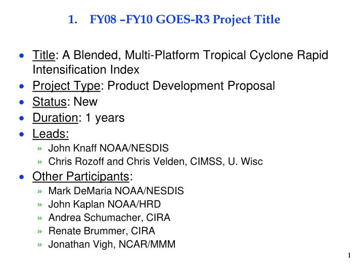
FY08 –FY10 GOES-R3 Project Title. Title : A Blended, Multi-Platform Tropical Cyclone Rapid Intensification Index Project Type : Product Development Proposal Status : New Duration : 1 years Leads: John Knaff NOAA/NESDIS Chris Rozoff and Chris Velden, CIMSS, U. Wisc Other Participants :

E N D
FY08 –FY10 GOES-R3 Project Title • Title: A Blended, Multi-Platform Tropical Cyclone Rapid Intensification Index • Project Type: Product Development Proposal • Status: New • Duration: 1 years • Leads: • John Knaff NOAA/NESDIS • Chris Rozoff and Chris Velden, CIMSS, U. Wisc • Other Participants: • Mark DeMaria NOAA/NESDIS • John Kaplan NOAA/HRD • Andrea Schumacher, CIRA • Renate Brummer, CIRA • Jonathan Vigh, NCAR/MMM 1
2. Project Summary • Explore the utility of multi-sensor, multi-platform information to forecast tropical cyclone rapid intensification • Long range lightning detection (proxy for GLM) • LEO passive microwave observations of convective organization • Convective asymmetries and modes from GOES IR (proxy for ABI) • SST, OHC (satellite based products) • GFS observations and forecast of environment • Develop an experimental version of the operational Rapid Intensification Index • Modify existing RII to use new predictors from lightning, microwave ,IR observations • Leverage other funded projects. 2
3. Motivation • Improved forecasts of tropical cyclone rapid intensification is a high priority NWS and NOAA goal (i.e., one of the justifications of HFIP) • There are several datasets that have the potential to improve RI forecasts alone and in combination with other data (model analyses/forecasts, oceanic heat content, SSTs, etc) • Lightning • IR imagery • Microwave Imagery • A diversity of statistical methods has yet to be used for the RI problem
FY10 Milestones and Accomplishments • CIRA/RAMMB will provide to AOML • (1 Jun)Storm relative IR predictors(1995-09) and lightning (2005-09) Atlantic and E./C. Pacific (1 June) • (1 Oct) lightning-based correction model developed Atlantic • (1 Dec) lightning-based correction model developed E./C. Pacific • CIMMS will provided to AOML • (1 Aug) Storm relative MI predictors for Atlantic (1995-09) • (1 Oct) Storm relative MI predictors for E./C. Pacific (1995-09) • AOML will develop experimental versions of RII • (1 Oct) Atlantic • (1 Dec) E./C. Pacific 4
Lightning Findings/Accomplishments (CIRA) • World Wide Lightning Location Network (WWLLN) data has been collected and scaled for 2009 • Programs to add the lightning information to SHIPS development data has been accomplished • An Atlantic dataset has been supplied to AOML that contains the lightning based predictors & SHIPS predictors • Preliminary results suggest that lightning in the rainband region (+) and the inner core (-) of the storm are of potential importance.
Lightning Findings/Accomplishments (CIRA) • Rainband lightning (300-400km from the TC center) is inductive of rapid intensification provided other favorable conditions are met • Good discriminator for RI • Inner core (0-100 km) lightning activity is negatively related to intensification and helps discriminate RI cases. • This is a noisy relationship and not particularly well suited for discriminant analysis.
IR Findings/Accomplishments (AOML/CIRA) • Principle component analysis was performed on the images in the CIRA/RAMMB tropical cyclone IR image archive. • Storm direction relative • Cylindrical grid • PC 2 (-) related to a front left to rear right convective asymmetry was found to be important • This feature tends rotates cyclonically during RI • 2009 data has been processed for both Atlantic and East Pacific cases and has been provided to AOML.
Hurricane Wilma 17 October 1745 UTC IR Findings/Accomplishments (AOML/CIRA) PC2 = -1.32
Microwave Findings/Accomplishments (CIMSS) • Calibrated 37 GHz microwave radiance data from AMSRE and TRMM TMI covering 1998-2008 have been collected and processed for the Atlantic and East Pacific using interpolated best track times. • WINDSAT, SSM/I, and SSMIS 37 GHz data over these ocean basins are currently being collected and will soon be processed. • An objective TC center finding scheme known as the “Automated Rotational Center Hurricane Eye Retrieval” (ARCHER) to the 37 GHz polarization corrected brightness temperature (Tb) [PCT = 2.18 Tb(V) – 1.18 Tb(H)] has been incorporated in processing. • PCT removes the ambiguity in distinguishing cold Tb of stronger convection from the cold sea surface that can arise in individual vertical/horizontal polarizations.
Microwave Findings/Accomplishments (CIMSS) • An initial set of PMW predictors based on Atlantic cases only have been formed based on objectively determined rings that denote a developing eyewall, based on TMI and AMSR-E 37Ghz Tb(H), Tb(V), and PCT in the ring (“eyewall”) and the region inside the ring (“eye”). Example: 37Ghz PCT from Hurricane Frances at 1049 UTC 26 August 2004.
Microwave Findings/Accomplishments (CIMSS) • SHIPS developmental data were linearly interpolated to PMW overpass times. Logistic regression was then used to predict RI from this data. • Optimal 37Ghz PMW predictors were determined as shown below. For storms withvmax ≥ 45 kt For storms withvmax ≥ 60 kt Mean values for the RI and non-RI cases are presented (*/**/*** = statistically significant difference at the 99.9%/99.0%/95.0% level).
Microwave Findings/Accomplishments (CIMSS) Result presented at the 29th Conference on Hurricanes and Tropical Meteorology (Velden et al 2010) • Note: For POD and FAR, a “yes” event is defined on a probability of RI of at least 50 % Statistical results above based on number of RI and non-RI Atlantic cases listed for each set of dependent tests with the logistic scheme
Unexpected Results • Lightning near the eyewall appears to have an inverse relationship with RI and in many cases signals peak intensity has or is occurring • PMW 37GHz data appears quite promising for discriminating RI events; resulting in significant improvements using dependent data.
Additional Activities Leveraged • GOES-R Risk Reductions (CIRA): Tropical Cyclone Applications and Forecasting • JHT (CIRA, HRD): To improve the operational RII using TPW, IR principle Components, and ocean-atmosphere exchange • US Navy (CIMSS): • JHT(CIMSS): • GOES-R (CIMSS):
Recommendations for follow on research • Use of MI information for validation/initialization of numerical models • Structure diagnosis (bogus generation) RMW!! Wind field expansion • Structural diagnosis (convection/precipitation) • Rainband location • Warm vs. deep convective rain processes • Efforts to understand the intra-variability of convective structure evolution (MI patterns) and lightning activity and how it relates to tropical cyclone lifecycle and intensification. • Intensity diagnosis • Short-term forecasting