Download
1 / 17
170 likes | 352 Vues
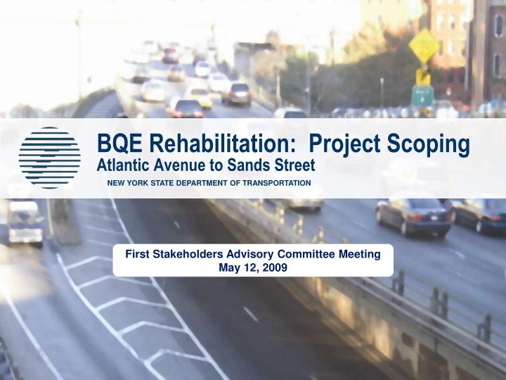
BQE Rehabilitation: Project Scoping Atlantic Avenue to Sands Street. NEW YORK STATE DEPARTMENT OF TRANSPORTATION. First Stakeholders Advisory Committee Meeting May 12, 2009. Project Limits and Exit Number. Primary Study Area. Secondary Study Area. 28. 28B. 28A. 27. 29A. 2XX.

E N D
BQE Rehabilitation: Project ScopingAtlantic Avenue to Sands Street NEW YORK STATE DEPARTMENT OF TRANSPORTATION First Stakeholders Advisory Committee Meeting May 12, 2009
Project Limits and Exit Number Primary Study Area Secondary Study Area 28 28B 28A 27 29A 2XX Project DescriptionProject Limits and Study Area Corridor’s Regional Importance • Critical New Jersey (I-95) – Staten Island – Long Island link • Link to Manhattan, East River bridges and tunnels, and all regional airports • Freight transport to/from Brooklyn, Queens, and Long Island
Project DescriptionOverview • National Environmental Policy Act/ Environmental Impact Statement process to be followed (Tiered EIS) • Community involvement central to process • 1.5 mile long section of I-278/Brooklyn-Queens Expressway • 21 bridges • 367,000 s.f. of deck • 194 spans • Combination of steel and concrete structures • 0.4 mile triple cantilever section is primary project element
Project Purpose & Need • Infrastructure deterioration • While the current overall condition of the 21 structures is safe, to maintain structures in a state of good repair corrective action will be required within 10-15 years (by approximately 2020). • Operational deficiencies • Narrow lanes, lack of shoulders, short merge/weave distances near on-ramps and off-ramps, vertical clearance constraints. • Severe congestion • Nonstandard features (shoulders and ramps) combined with severe congestion (approximately 140,000 vehicles per day; operating at or near capacity) and roadway’s inability to support design speed exacerbate safety and operational concerns. • Lack of shoulders/nonstandard features contributes to severe congestion due to vehicle breakdowns, accidents, maintenance needs, or other incidents. • Approximately one accident occurs every 3 to 4 days during peak travel times, and area is well above statewide average for comparable roadways. Accidents account for 10 to 20% of all incidents and delays experienced by drivers.
Project IssuesSite Constraints & Considerations • Narrow, constrained right-of-way with various choke points • Brooklyn and Manhattan Bridge piers • Subway vent buildings adjacent to BQE • Cranberry Street and York Street • Presence of five subway tunnels within project limits • Adjacent large buildings • 360 Furman Street and at Pearl Street • Multiple Historic Districts • Brooklyn Heights Promenade and parks • Brooklyn Heights Promenade a Contributing Element to Brooklyn Heights Historic District • Protected Views of Brooklyn Bridge, Lower Manhattan, and Upper New York Bay • Brooklyn Bridge Park Project at Furman Street
Project IssuesSignificant Challenges and Opportunities • Minimize community impacts • Integrate this project with other City agency plans • Enhance access to Downtown Brooklyn • Maintain traffic during construction while limiting impacts to neighborhoods • Reduce the number of large trucks on local streets • Coordinate with Brooklyn Bridge Park development
Scoping & Environmental Review Status • Determined need to prepare NYSDOT Project Scoping Report, Federal/State EIS in conformance with NEPA/SAFETEA-LU/SEQRA • Will publish Draft Scoping Document, Draft Public Involvement Plan (PIP), and Draft Agency Coordination Plan • Initiated data gathering, including required surveys, mapping, traffic, noise, and environmental efforts • Completed initial outreach efforts • Published Notice of Intent (NOI) in Federal Register to prepare EIS • Launched project website (www.nysdot.gov/bqedowntownbrooklyn) • Initiated Tiered NEPA process to evaluate alternatives
Tiered EIS Process • Tiering is a staged environmental review process applied to complex projects • Initial Tier 1 EIS will address corridor-level issues of a broad range of alternatives • Subsequent tiers will analyze narrower site-specific proposals based on the decisions made in Tier 1
Tier 1 EIS will • Confirm project purpose & need, and related goals & objectives • Confirm/document logical termini for the proposed action • Define study area(s) for impact assessment • Identify range, general alignment & right-of-way requirements of reasonable alternatives • Characterize overall land use & environmental consequences of reasonable alternatives • Establish timing/sequencing of actions to maintain state of good repair • Establish environmental review process for subsequent tier(s)
Subsequent Tier(s) will • Result in more detailed assessments of build alternatives within the general corridor identified in Tier 1 EIS • Evaluate alternatives & environmental consequences based on a higher level of engineering detail and specificity than in the Tier 1 evaluation • Incorporate data & evaluations from Tier 1 EIS • Concentrate on issues specific to selected alignment identified in Tier 1 EIS • Screen alternatives to identify the alternative that best meets purpose & need • Establish the timing & sequencing of independent actions to maintain state of good repair
Potential Alternative Categories • Broad range of alternatives, including but not limited to • Alignment alternatives • Transit alternatives • Transportation demand management (TDM) • Transportation system management (TSM) • Rehabilitation alternatives • Reconstruction alternatives
Public’s Role • Steering Committee • Members consist of: government agencies and principal elected officials, as well as representatives of the Brooklyn Bridge Park Development Corporation and the Downtown Brooklyn Partnership • Provide advice and assistance to NYSDOT in alternatives development; serve as a liaison between the community and the project team; help to develop the project’s goals, objectives, and screening criteria; review project data and findings; provide input on preliminary recommendations; and help plan the public outreach program • Approximately six meetings held throughout the course of project scoping • Participating Agencies • Federal, state, regional and local government agencies that may have an interest in the project (continued…)
Public’s Role • Stakeholders Committee • Stakeholders Committee is an essential part of the Public Involvement Program and will play a key role in making decisions regarding the preferred alternative • Members consist of Steering Committee members, representatives of elected officials and community associations, homeowners, and other organizations with an interest in the project • Provide advice and assistance to NYSDOT on purpose and need of the project; help with development of alternatives; assist in the public involvement process; help to develop environmental screening criteria; and review project data and findings • Meetings held approximately bi-monthly • Adopt Charter/Operational Guidelines
Future Activities • Stakeholder meetings to be held every two months • Final Determination of Participating, Cooperating, and Involved Agencies • Combined Information and Scoping Meeting to be held on Monday, June 22, 2009 • Finalization of the Public Involvement Plan • Steering Committee meetings • Confirmation of Purpose & Need • Development of Long List of Alternatives for Assessment
Contact Information • Website: www.nysdot.gov/bqedowntownbrooklyn • For general project information Adam Levine, PE, AICP New York State Department of Transportation 718-482-4526 alevine@dot.state.ny.us • For public involvement information Jee Mee Kim, AICP Sam Schwartz Engineering 212-598-9010 jkim@samschwartz.com
BQE Rehabilitation: Project ScopingAtlantic Avenue to Sands Street NEW YORK STATE DEPARTMENT OF TRANSPORTATION Questions and Discussion