Download
1 / 32
340 likes | 570 Vues
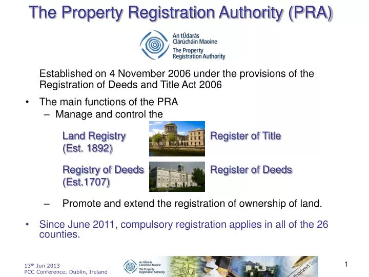
The Property Registration Authority (PRA). Established on 4 November 2006 under the provisions of the Registration of Deeds and Title Act 2006 The main functions of the PRA Manage and control the Land Registry Register of Title (Est. 1892) Registry of Deeds Register of Deeds

E N D
The Property Registration Authority (PRA) Established on 4 November 2006 under the provisions of the Registration of Deeds and Title Act 2006 • The main functions of the PRA • Manage and control the Land Registry Register of Title (Est. 1892) Registry of Deeds Register of Deeds (Est.1707) • Promote and extend the registration of ownership of land. • Since June 2011, compulsory registration applies in all of the 26 counties.
Our Mission To promote and safeguard the legal, societal and economic framework of property ownership in Ireland. This will be achieved by maintaining and extending a comprehensive and reliable system of registration of title, which secures property rights and facilitates property transactions. • The primary statutory remit is to: complete the Irish land register leading to a single system of title registration supportive of Government policies on land administration, including eRegistration, eConveyancing and the emerging Irish Spatial Data Infrastructure
Information Resource • Unique Property Identifiers • Ownership Details • Geo-Referenced • Digitised Land Parcels • GeoDirectory Links • Registration Process - sustainability • Online information service “landdirect.ie” • Spatial Reporting
What forms the Register of Title? • Folios • Computerised • Almost all in structured - Oracle DB • Accompanying map • 26 counties land parcels digitised since Aug 2010 referencing OSi topographic vector map and ITM coordinate reference system (ETRS 89 & WGS 84 compatible) • Digitised from over 30,000 paper maps • Different scales • 10560, 2500, 1250, 1056, 1000 • Different projections • Cassini (County Series), IR Grid
PRA website Land Registry information stored & maintained as ‘Spatial Data’
Folio Information Part 2 Ownership details Name(s) & Address for service of notices in the state Part 1 Property description
Folio Information Part 3 Burdens Rights of Way,Wayleaves etc Wayleave
Spatial Reporting • What is registered and where? • What is not registered and where? • What we did in 2012 and where? • Other reports • Spatial data requests
What’s we did in 2012 and where? In total 43,408 New Folios created during 2012
Other ReportsHow much was paid for properties processed in 2012– Consideration statistics from Transfer of Part (Sales)
Lands registered to various Ministers(Over 24,000 land parcels –---Over 300,000 Ha)
Lands registered to Coillte Teoranta(Over 8,000 land parcels --- Over 60,000 Ha)
Lands registered to OPW(Over 2,000 land parcels ---- Over 15,000 Ha )
Referenced to ITM or Route Planning (Input) • Provision of Electronic Extract from the Registry Map (Within the limits set by the Authority) http://www.prai.ie/eng/Legal_Professional_Customers/Mapping%20Guidelines/Appendix_7_b_.pdf GEOMETRY (Closed Polygon)
Route Planning Output after running Spatial Query CSV File Folio/Prop/Plan/Apps pending/Name/Address Land Registry Polygon Geometry
NRA Route Planning • We provide the parcel geometry and names and addresses to NRA/NRDO of all the registered properties affected by planned routes. • The parcel geometry supplied to NRA/NRDO can then be re-used to prepare CPO paper or electronic maps for lodgement with application to register
INSPIRE INfrastructure for SPatial InfoRmation in Europe. Land Registry Cadastral parcels theme Annex I considered as reference data i.e. data that constitute the spatial frame for linking and/or pointing at other information that belong to specific thematic field such as environment, soil, land use, and many others.
INSPIRE – Data Theme ‘Cadastral Parcels’ • PRA • Is the Legally Mandated Organisation (LMO) for INSPIRE, Annex 1, data theme ‘Cadastral Parcels’ “Areas defined by cadastral borders with specific legal status of ownership) • Must provide ‘surface of the earth’ land parcels with nationwide unique identifier • We have delivered cadastral parcels (vector geometry in GML format) to Department of Environment, Community and Local Government (DECLG) for uploading on Irish GeoPortal and will do so on a bi-annual basis • CP geometry references the ITM coordinate reference system which is compatible with ETRS 89 and WGS 84
Thank You Shay Arthur, Mapping Advisor, Cork Road, Waterford shay.arthur@prai.ie 051-303078