Download
1 / 29
290 likes | 380 Vues
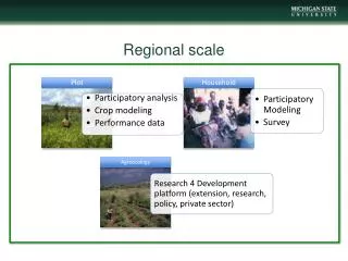
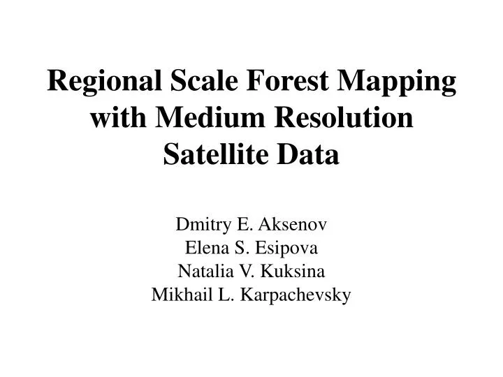
Regional Scale Forest Mapping with Medium Resolution Satellite Data. Dmitry E . Aksenov Elena S . Esipova Natalia V. Kuksina Mikhail L . Karpachevsky. Minimum set of information includes:. Forest cover Dominant tree species Age of the upper canopy

E N D
Regional Scale Forest Mappingwith Medium Resolution Satellite Data DmitryE. Aksenov ElenaS. Esipova Natalia V. Kuksina MikhailL. Karpachevsky
Minimum set of information includes: • Forest cover • Dominant tree species • Age of the upper canopy • Productivity / growing stock estimation
Options for the forest cover and tree species: • Modis data (like UMD TreeCover) +official forest survey data (lesoustroistvo) • Landsat TM/ETM+ classification • IRS-P6 AWiFS classification
dark coniferous (spruce, fir) ...and its classification by tree species pine mixed deciduous – dark coniferous deciduous (birch, aspen) cleacuts fire scars
Retrospective data allow age classification Change detection MSS-TM Change detection TM-ETM+ Change detection ETM+-AWiFS MSS classification ~2000Landsat ETM+ GLCF 2007 Landsat TM IRS-P6 AWiFS ScanEx ~1980 Landsat MSS GLCF <1980 clearcuts in Landsat MSS ~1990 Landsat TM GLCF
Productivity / growing stockis still a problem • NDVI in combination with official data? • Radar data for sparse forests? • Landsat imagery classification in combination with ground data(kNN-method)?
Kirov Oblast Mapping (2004-2006) Change detection MSS-TM Change detection TM-ETM+ Change detection ETM+-AWiFS MSS classification ~2000Landsat ETM+ GLCF 2007 Landsat TM IRS-P6 AWiFS ScanEx ~1980 Landsat MSS GLCF <1980 clearcuts in Landsat MSS ~1990 Landsat TM GLCF + Landsat ETM+ classification for tree species
European Russia Mapping (2006-2007) Change detection MSS-TM Change detection TM-ETM+ Change detection Modis 2001-2006 MSS classification ~2000Landsat ETM+ GLCF 2006 Modis ~1980 Landsat MSS GLCF <1980 clearcuts in Landsat MSS ~1990 Landsat TM GLCF + UMD Treecover Forest of the USSR (1990)Modis classification (Bartalev et al.)
European Russia Mapping (plans for 2008) Change detection MSS-TM Change detection TM-ETM+ Change detection ETM+-AWiFS MSS classification ~2000Landsat ETM+ GLCF 2007 Landsat TM IRS-P6 AWiFS ScanEx ~1980 Landsat MSS GLCF <1980 clearcuts in Landsat MSS ~1990 Landsat TM GLCF + IRS-P6 AWiFS classification for tree species
Logging sustainability Planting Natural reforestation Forest resources • Economically unavailable • forests: • remote areas; • low-productive stands; • environmental limitations; • protected areas clearcuts selective logging forest fires pest outbreaks
MSS-TM-ETM+ change detection Northern Kirov Oblast
non-forest areas clearcuts 1990 – 2000 ther forest clearcuts 1980-1990
non-forest areas clearcuts 1980 – 2000 гг. other forest
non-forest lands old coniferous clearcuts 1980 – 2000 other forest