Download
1 / 65
650 likes | 656 Vues
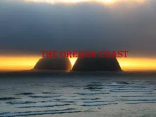
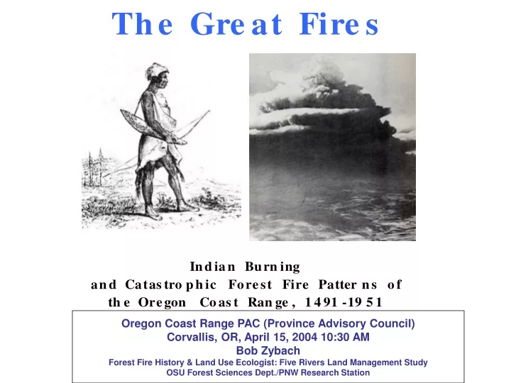
This study explores the hypothesis that Indian burning practices from the late-15th to mid-19th century influenced subsequent patterns of catastrophic forest fires in the Oregon Coast Range. Historical drawings, photographs, literature reviews, oral traditions, aerial photographs, and historical maps are among the sources of information used.

E N D
Oregon Coast Range PAC (Province Advisory Council) Corvallis, OR, April 15, 2004 10:30 AM Bob Zybach Forest Fire History & Land Use Ecologist: Five Rivers Land Management Study OSU Forest Sciences Dept./PNW Research Station
Hypothesis Current evidence suggests patterns of late-15th to mid-19th century Indian burning practices had a direct effect on subsequent patterns of Oregon Coast Range catastrophic forest fires that occurred from 1849 to 1951. In particular, Indian fires may have influenced the cause, timing, severity, location, and boundaries of subsequent wildfires.
Aerial Photographs
GIS C O N V E R S I O N 1895-96 USGS Coos Bay 30 min Quadrangle Map • Bottomland Prairies • 1868 Coos Fire • 1770 Millicoma Fire • Wagon Roads and Trails
Oregon Coast Range Fuels *Spruce/hemlock *Douglas-fir *Oak grasslands
Coast Range Seasonal Fuel Desiccation, 1961-1991 • Killing Frosts • North (Nov. 3-Mar. 3) • East (Nov. 2-Apr. 14) • West (Nov. 8-Apr. 6) • South (Nov. 10-Apr.5) • Summer Droughts • North (May-Sep.) • East (Apr.-Oct.) • West (May-Sep.) • South (Apr.-Oct.)
Willamette Valley, Oregon 1845 1885
Soap Creek Valley, Oregon 1914 1989
The Great Fires • Millicoma, ca. 1775 • Yaquina, ca. 1849 • Nestucca, ca. 1853 • Coos, 1868 • Tillamook, 1933
“Indian Trail [from Willamette Valley] to Tidewater” “Alseya Valley” General Land Office survey map, 1856