Download
1 / 16
160 likes | 168 Vues
USGS and NASA Sentinel-2 Status. John Dwyer & Jeff Masek July 7, 2015 Landsat Science Team. USGS Plans for Sentinel-2 Data. Presented Investigation Summary “ Sentinel-2 Augmentation to Landsat Data Record ” to Land Remote Sensing Program October, 2014

E N D
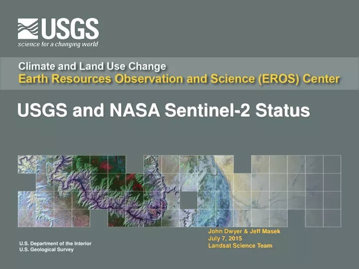
USGS and NASA Sentinel-2 Status John Dwyer & Jeff Masek July 7, 2015 Landsat Science Team
USGS Plans for Sentinel-2 Data • Presented Investigation Summary “Sentinel-2 Augmentation to Landsat Data Record” to Land Remote Sensing Program October, 2014 • Scope and Ops Con assumptions used for analysis • Investigation Analysis & Findings • Architecture Recommendation & Implementation Summary • Risks & Considerations • Work packages and associated cost estimates • Collaborating with NASA on pre-flight calibration to data characterization to define Science data processing to ensure Landsat and Sentinel-2 data synergy
Implementation Tiers and Options • Implementation Tiers: • Tier 1: EROS will pull a copy of all L1C data from ESA, host a copy at EROS, generate a Full Resolution Browse (FRB) and enable basic data discover capabilities (no other processing included) • Tier 2: In addition to Tier 1, add a minimal amount of processing necessary to increase usability of the data, including reformatting data to be more consistent with Landsat Level 1 and resampling the Level 1C data to a 30m common grid and tiling scheme (Landsat-like) for distribution as an on-demand Landsat-like product • Tier 3: This is a separate and parallel scenario to Tier 2 to render the MSI data interoperable with Landsat and significantly increase the usability/utility of the data for research/applications and makes the data as seamlessly similar as possible to Landsat data for the user (feasibility pending and therefore, not yet estimated) • Additional defined options: • Option 1: Increase disk cache for S2 data from 180 days to 360 days and add 10% each year (base assumption includes 180 days of spinning disk) to improve user experience • Option 2: Generate surface reflectance products from S2 data and archive and distribute to the public (currently assuming use of NASA Ames Research Center (ARC) for processing SR data) • Option 3: Provide coincident search and discovery of both inventories (Landsat & S2) simultaneously in EarthExplorer and provide aggregated results (feasibility pending and therefore, not yet estimated) • Scope and Schedule remain contingent upon available funding
6 / 22 / 2015 6 / 22 / 2015 - 1 / 1 / 2016 Sentinel 2 a Launch Sentinel 2 a Data CheckOut 1 / 1 / 2015 4 / 1 / 2015 7 / 1 / 2015 10 / 1 / 2015 1 / 1 / 2016 10 / 1 / 2014 1 / 15 / 2016 10 / 29 / 2014 1 / 23 / 2015 3 / 14 / 2015 1 / 1 / 2016 8/ 1 / 2015 9 / 23 / 2015 10 / 1 / 2015 10 / 1 / 2015 EROS S 2 Briefing TSSC received FY 15 a Hardware Sentinel 2 a Data Preliminary Sentinel 2 ORR FY 16 Hardware to LRS Mgmt procurement task order Integration Download Begins Limited 12 / 22 / 2014 collection data Procurement Data Access Procurement submitted Ingest for Cal/Val sites by Govt Tier 1 Timeline
What’s Needed to Make Full Use of S2 for US Investigators? • User access to S2 L1C Data (USGS & ESA) • Open access through ESA Processing Centers • USGS S2 archive copy at EROS • MSI characterization & cross-calibration with Landsat-8 OLI (Landsat calibration team & ESA) • Higher-level Products & Science (NASA LCLUC/LcPSO) • Prototype merged Landsat + S2 reflectance product (Vermote/LcPSO) • Recent NASA LCLUC solicitation for multisource land imaging science • Coordinated with ESA SEOM (Scientific Exploitation of Operational Mission) program • Multi-year investment in new products from fusion of international systems, including Sentinel-1,2
NASA Landsat – Sentinel-2 fusion • Merging Sentinel-2 and Landsat data streams will provide <5-day coverage, crucial for agriculture, ecosystem, and land management studies • Goal: “seamless” near daily, 30m surface reflectance record • Cross-calibration, atmospheric corrections, spectral and BRDF adjustments, regridding • Prototype implementation NASA Earth Exchange (NEX) Courtesy Jeff Masek, NASA GSFC
Processing for Landsat/ S2 Harmonization • Algorithms • Atmospheric correction • Cloud/shadow masking • BRDF adjustment to nadir view • Band-pass adjustment to OLI • Regridding / Temporal Compositing • 30m WELD sinusoidal gridding • 6-day, min-AOT composites • TIR from best Landsat-8 • Red-edge from best S2a • VSWIR from either • Processing for test/regional sites on NASA ARC NEX system
Algorithm Approaches • Atmospheric Correction • Identical to Landsat-8 OLI algorithm for both L8 & S2 • AOT retrieved from Coastal/Aerosol and Blue vs Red bands ratios derived from MISR and MODIS • Cloud mask • L8: use of thermal, cirrus band and AOT retrieval • Updated later to use F-mask • S2: use of cirrus band and AOT retrieval • BRDF-Adjustment • Adjust all view angles to nadir • disagreggation (or downscaling) of VJB BRDF coefficient (Vermote et al. VJB approach); • may be updated later to use downscaled MOD43B BRDF (eg Roy et all, 2008) • Spectral adjustment • polynomial regression to modify MSI spectral reflectance to match OLI spectral reflectance • based on a global dataset of Hyperion TOC data
20 Test Sites pre-selection • Sites selected by UM-Boston group: • SAFARI, FLUXNET, BSRN • 11 sites • Some are combined with Aeronet • JECAM • 4 Ag sites proposed with a good potential of in situ data • Aeronet • 16 sites proposed based on good recent data record
Sites statistics S2 Tiles ID Cloud cover Snow cover Land Cover per S2 Tiles per S2 tiles 100*100km - Based on IGPB MODIS classification (based on MODIS terra CMG products)
Upcoming Milestones OLI At-Cor Algorithm (Vermote) 2014 2015 OLI At-Cor Algorithm Validated (Vermote) April BRDF-adjustment Algorithm (Claverie) Algorithm development May MSI At-Cor Algorithm (synthetic data, Vermote) June S2 Launch Spectral-adjustment Algorithm (Claverie) July MSI At-Cor Algorithm working with S2 data (Vermote) Aug NEX transitioning Algorithm integration & NEX deployment (Ju, Ganguly, Dungan) S2 data (Eurasia + Africa) Sept Mirroring of S2 data of the 20-30 selected sites (Ganguly, Dungan) Processing Start data processing Oct June 16 S2 Global data