Download
1 / 37
420 likes | 608 Vues
Fundamentals of Remote Sensing. Gathering information without physical contact. Can you sense things remotely?. Remote sensing may be accomplished in any of several ways. Close up. Caroline Wicks. Further away. A LOT further away. Organic content of soil.

E N D
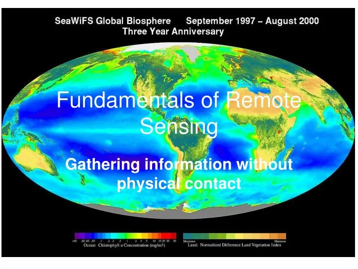
Fundamentals of Remote Sensing Gathering information without physical contact
Remote sensing may be accomplished in any of several ways Close up Caroline Wicks Further away A LOT further away
Take a set of readings on the white background Take a set of readings of Soil Sample 1 Divide Soil readings by white readings and multiply by 100 Repeat with Soil Sample 2 Graph your percentages vs. wavelength
1. Graph percent reflectance of soil 1 vs. wavelength. 2. Connect points with a solid line. 3. Graph percent reflectance of soil 2 vs. wavelength. 4. Connect points with a dotted line. 5. Make a legend.
So, why can’t we just use our eyes? • Oil or Algae? • How do you know?
They don’t tell the whole story! Red Tide (Algal Bloom) Oil Spill
GOES Photo: ESA
SeaWiFS Instrument Package • Sea-viewing Wide Field of view Satellite • Carried on the satellite “Seastar” • Senses visible and NIR (near infra-red) • Ocean Color
TOPEX/POSEIDON Satellite Altimetry
True-Color Imagery Land Clouds Water
Stream Sediments Chesapeake Bay
Brazil Rainforest Ex-Rainforest
Temperature A 21 20 3 4 2 1 20 22 32 28 26 28 5 7 8 6 28 30 26 27 B B A
20 21 22 20 26 28 28 32 26 27 28 30
Using the IR Thermometer • DO NOT point the thermometer at another person. • Point at target and pull trigger. • Release and record the temperature in the appropriate spot on the recording grid. • Record about 4 temperatures per grid area. • Return to your seat and “color” mapping grid. Be sure to include a legend of colors.