Download
1 / 38
380 likes | 518 Vues
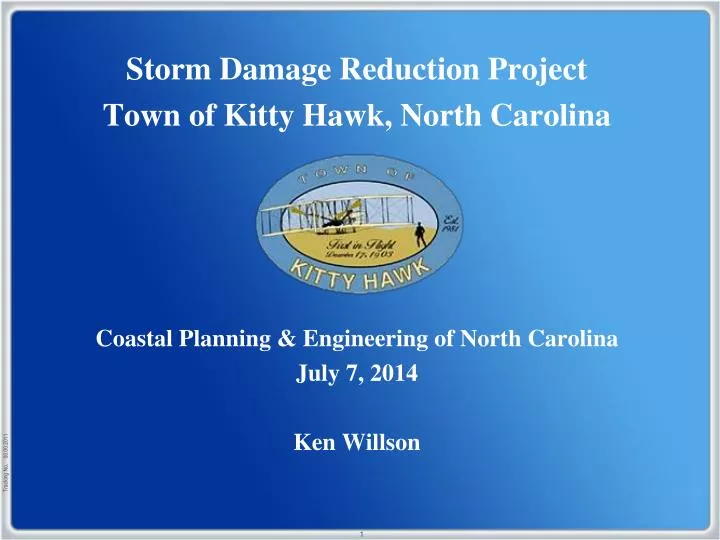
Storm Damage Reduction Project Town of Kitty Hawk, North Carolina Coastal Planning & Engineering of North Carolina July 7, 2014 Ken Willson. Outline:. Preliminary Overtopping Analysis: Identifying Problem Areas Recommended Actions Preliminary Design Concepts: Volumes

E N D
Storm Damage Reduction Project Town of Kitty Hawk, North Carolina Coastal Planning & Engineering of North Carolina July 7, 2014 Ken Willson
Outline: • Preliminary Overtopping Analysis: • Identifying Problem Areas • Recommended Actions • Preliminary Design Concepts: • Volumes • Schedule Update: • Environmental Documentation • Engineering Design • Offshore Sand Search
Goals of the Storm Damage Reduction Project • To reduce the vulnerability of public infrastructure including NC 12, Town roads between NC 12 and U.S. Highway 158, and utilities to storm-induced erosion; • To reduce flooding experienced in many non-oceanfront areas throughout the Town during ocean over wash conditions, including portions of highway NC 12 and U.S. Highway 158; and • To reduce the vulnerability of homes within the Town that front the Atlantic Ocean and are exposed to wave events during nor’easters and other large storm events as well as natural erosional trends.
Preliminary Overtopping Analysis • LiDAR Analysis • Site Visit (Feb. 21, 2014) • Management Action Alternatives: • Uniform Dune Elevation • Adding Material/Truck Haul • Relocation of Parking Areas • Raising Driveways/Parking Areas • Modification to Public/Emergency Vehicle Beach Access
Preliminary Overtopping Analysis (Uniform Dune Elevation) • Property owners should be advised to construct a continuous and uniform dune • Adjacent property owners should coordinate to ensure uniformity
Preliminary Overtopping Analysis (Adding Material/Truck Haul) • Beach Push/Scraping can cause a loss of sand from adjacent areas • Case by case determination of best place for sand placement • Consider sand removed from road for use
Preliminary Overtopping Analysis (Adding Material/Truck Haul) • Beach Push/Scraping can cause a loss of sand from adjacent areas • Case by case determination of best place for sand placement • Consider sand removed from road for use
Preliminary Overtopping Analysis (Relocation of Parking Areas) • Spaces on west side of structures • Consider limiting parking to one or two cars • Consider incentives to limiting parking • Work with neighbors to provided parking to renters
Preliminary Overtopping Analysis (Relocation of Parking Areas) • Spaces on west side of structures • Consider limiting parking to one or two cars • Consider incentives to limiting parking • Work with neighbors to provided parking to renters
Preliminary Overtopping Analysis (Raising Driveways/Parking Areas) • Reconstruct driveway to follow adjacent dune contours • Consider incentives • Potential for adjacent property owners to work together
Preliminary Overtopping Analysis (Raising Driveways/Parking Areas) • Reconstruct driveway to follow adjacent dune contours • Consider incentives • Potential for adjacent property owners to work together
Preliminary Overtopping Analysis (Raising Driveways/Parking Areas) • Raising emergency vehicle beach access
Preliminary Overtopping Analysis (Raising Driveways/Parking Areas) • Raising emergency vehicle beach access
Preliminary Overtopping Analysis (Modification to Public/Emergency Vehicle Beach Access) • Install timber walkover/drive-over structures at public/emergency vehicle access points.
Preliminary Overtopping Analysis (Modification to Public/Emergency Vehicle Beach Access)
Storm Damage Reduction Project Design Beach
Storm Damage Reduction Project Constructed Beach Fill
Post-Construction Adjustment in 1-3 years Storm Damage Reduction Project
Storm Damage Reduction Project Advance Fill Design Beach
Storm Damage Reduction Project Berm Width 6.0 ft. NAVD88 Dune +13.0 ft. Loss of Advance Fill In 5-7 years Design Beach
Storm Damage Reduction Project • When structures are seaward of the dune, more sand is required to • construct the design seaward of the structures.
Storm Damage Reduction Project Built in front of structures Berm Width 6.0 ft. NAVD88 Dune +13.0 ft. Design Beach • When structures are seaward of the dune, more sand is required to • construct the design seaward of the structures.
Storm Damage Reduction Project Tie into existing dune Berm Width 6.0 ft. NAVD88 Dune +13.0 ft. Design Beach • When structures are seaward of the dune, more sand is required to • construct the design seaward of the structures.
Storm Damage Reduction Project Built in front of structures Berm Width 6.0 ft. NAVD88 Dune +13.0 ft. Design Beach • When structures are seaward of the dune, more sand is required to • construct the design seaward of the structures.
Storm Damage Reduction Project Built in front of structures Berm Width 6.0 ft. NAVD88 Design Beach • When structures are seaward of the dune, more sand is required to • construct the design seaward of the structures.
Storm Damage Reduction Project 50’ Berm Width 6.0 ft. NAVD88 Design Beach
Storm Damage Reduction Project Built in front of structures 50’ Berm Width 6.0 ft. NAVD88 20’ Dune Width +13.0 ft. Design Beach
Storm Damage Reduction Project 30’ Berm Width 6.0 ft. NAVD88 10’ Dune Width +12.0 ft. Design Beach
Geotech Investigation Environmental Documentation Engineering Design Preliminary Draft EA (August 29, 2014) Draft EA (November 3, 2014) Submit Draft BA and EFH (July 15, 2014) Public Comment on Draft EA (November 4 – December 3, 2014) Submit Final BA and EFH (Sept 13, 2014) Final EA (March 3, 2015) Submit Permit Applications (April 30, 2015) 1 – Year Coordination BOEM/USACE/ NMFS/USFWS Permits Issued (September, 2015) Bidding (11/2/15 – 12/1/15) CONSTRUCTION (February 2016)
Thank You! Questions? Ken Willson – Kenneth.Willson@CBI.com