Download
1 / 13
130 likes | 213 Vues
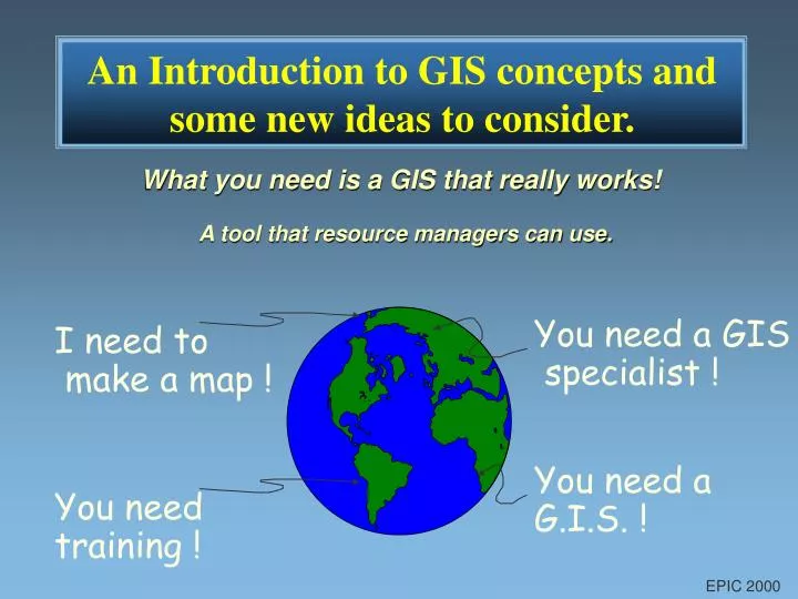
You need a G.I.S. !. You need a GIS specialist !. You need training !. I need to make a map !. An Introduction to GIS concepts and some new ideas to consider. What you need is a GIS that really works!. A tool that resource managers can use. EPIC 2000.

E N D
You need a G.I.S. ! You need a GIS specialist ! You need training ! I need to make a map ! An Introduction to GIS concepts and some new ideas to consider. What you need is a GIS that really works! A tool that resource managers can use. EPIC 2000
What is GIS?(Geographic Information Systems) Definition: A Geographic Information System is a computer based system used to: capture, manage, edit, analyze and output geographically referenced information. Components:A GIS has 4 essential components: • Hardware • Software • Data • People The most important component is PEOPLE EPIC 2000
GIS Database Layering Concept EPIC 2000
Raster Vector GIS Community is Split Between Two Different Views of the World or EPIC 2000
What is the Difference Between Raster or Vector Formats? Raster Data Vector Data EPIC 2000
POLYGON Examples: Land use Soils Ownership tracts Parcels LINE Examples: Streamlines Road networks Pipelines Types of Vector Data • POINT • Examples: • Sample locations • Archareologic sites • Gas wells • Symbols and text EPIC 2000
Data Layers Examples: DEM DOQs and DRGs Scanned Images Land use & Soils Watersheds Vector Overlays Examples: MCD, PLS Roads Cover types Lakes & Streams Types of Raster Data(Cell size determines Resolution) • Point Overlays • Examples: • GPS data points • Historical data stored by Public land Survey • Well logs • Gypsy moth sites EPIC 2000
GIS software options available Raster GIS Vector GIS DNR - LMIC extensions link EPPL7, EPIC and ArcView ESRI extensions add spatial analysis functions EPIC 2000
Vector Systems (ArcView) Strengths: Visual display Data capture How data is used: Data is displayed and analyzed in vector format Raster data is used like wall paper for display. Which is Better, Raster or Vector?Both systems have their strengths. Raster Systems (EPIC and EPPL7) • Strengths: • Spatial Analysis • Modeling • How data is used: • Data is displayed and analyzed in raster format. • Vector data is used as overlays for display and mapping. EPIC 2000
Both Raster and Vector Systems Use the Same Data! (User must know the resolution of the data source) EPIC 2000
Vector data : Community maps and annual updates were digitized using ArcInfo and converted to Shape files and to raster files. Raster data : All analysis was performed on the data in raster format. Analysis like: hazard zones, Sore load, economic cost benefit analysis and community accomplishments. Data is Data ! EPIC 2000
EPIC 2000 - A GIS for the rest of us a desktop GIS that is easy to use! Includes Statewide and county data on CD: land use, NWI, MnDOT roads and lots of useful shapefiles
Integrated GIS options for Minnesota EPPL7, EPIC 2000 and ArcView