Download
1 / 1
0 likes | 8 Vues
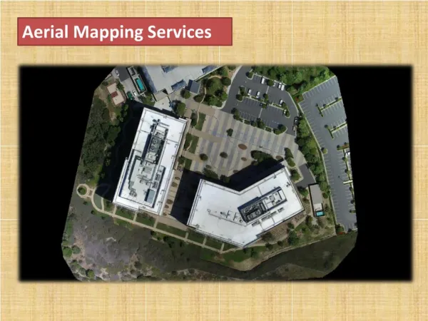
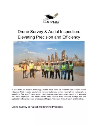
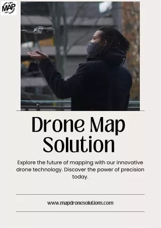
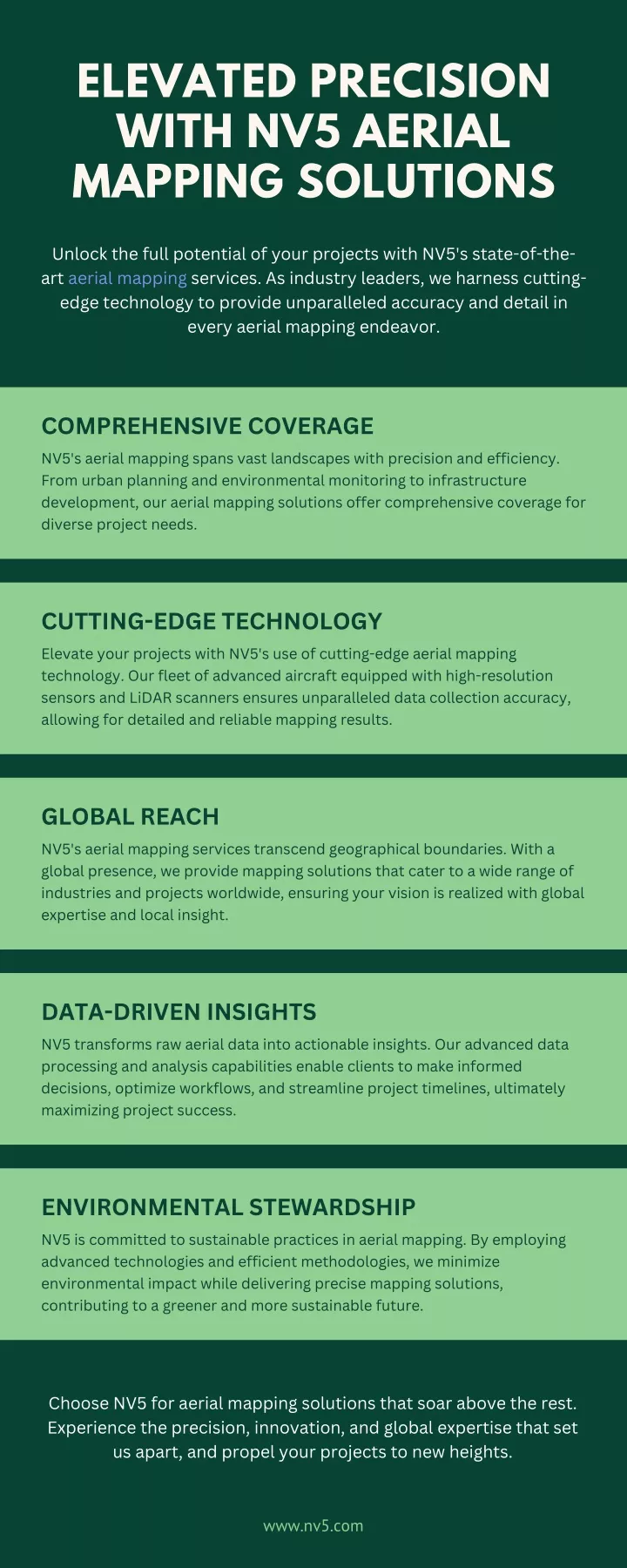
Unlock the full potential of your projects with NV5's state-of-theart aerial mapping services. As industry leaders, we harness cuttingedge technology to provide unparalleled accuracy and detail in<br>every aerial mapping endeavor.<br>

E N D
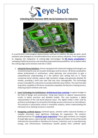
ELEVATED PRECISION WITH NV5 AERIAL MAPPING SOLUTIONS Unlock the full potential of your projects with NV5's state-of-the- art aerial mapping services. As industry leaders, we harness cutting- edge technology to provide unparalleled accuracy and detail in every aerial mapping endeavor. COMPREHENSIVE COVERAGE NV5's aerial mapping spans vast landscapes with precision and efficiency. From urban planning and environmental monitoring to infrastructure development, our aerial mapping solutions offer comprehensive coverage for diverse project needs. CUTTING-EDGE TECHNOLOGY Elevate your projects with NV5's use of cutting-edge aerial mapping technology. Our fleet of advanced aircraft equipped with high-resolution sensors and LiDAR scanners ensures unparalleled data collection accuracy, allowing for detailed and reliable mapping results. GLOBAL REACH NV5's aerial mapping services transcend geographical boundaries. With a global presence, we provide mapping solutions that cater to a wide range of industries and projects worldwide, ensuring your vision is realized with global expertise and local insight. DATA-DRIVEN INSIGHTS NV5 transforms raw aerial data into actionable insights. Our advanced data processing and analysis capabilities enable clients to make informed decisions, optimize workflows, and streamline project timelines, ultimately maximizing project success. ENVIRONMENTAL STEWARDSHIP NV5 is committed to sustainable practices in aerial mapping. By employing advanced technologies and efficient methodologies, we minimize environmental impact while delivering precise mapping solutions, contributing to a greener and more sustainable future. Choose NV5 for aerial mapping solutions that soar above the rest. Experience the precision, innovation, and global expertise that set us apart, and propel your projects to new heights. www.nv5.com