Download
1 / 4
40 likes | 42 Vues
The topographical surveyors on your site will ensure that you know the perimeter of your land, the area, and the layout. The surveyor will talk to you about the features they find on the land, and they will complete the map with the features that they believe are worth knowing. You should look at how the survey could be used to plan for development, and you can even use the map to determine the value of the land.

E N D
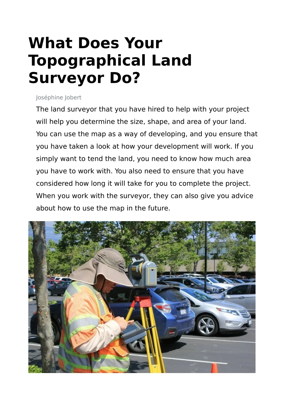
What Does Your Topographical Land Surveyor Do? Joséphine Jobert The land surveyor that you have hired to help with your project will help you determine the size, shape, and area of your land. You can use the map as a way of developing, and you ensure that you have taken a look at how your development will work. If you simply want to tend the land, you need to know how much area you have to work with. You also need to ensure that you have considered how long it will take for you to complete the project. When you work with the surveyor, they can also give you advice about how to use the map in the future.
What Does The Survey Do? The topographical surveyors on your site will ensure that you know the perimeter of your land, the area, and the layout. The surveyor will talk to you about the features they find on the land, and they will complete the map with the features that they believe are worth knowing. You should look at how the survey could be used to plan for development, and you can even use the map to determine the value of the land. The map itself is not complete until the surveyor has seen every part of the property. Plus, the surveyor will create a 3D image that you can use for development purposes. The 3D image is very powerful because it looks much more fun and interactive than a traditional map. You may also ask for a survey that includes the bodies of water around the property. The survey allows you to learn everything you need to know about the property and keep it in a simplified form. You Need The Map For Zoning Your Florida land surveyor will create a map that you can use for zoning purposes. You can draw on a copy of the map where you would like to develop, and you can explain that you have enough land to complete all the development that is required. The developer can keep the map as they think about how they will plan buildings for the property, and you can pass the map on to investors who may put money into the project.
Land Disputes Land disputes are often caused by a misunderstanding of where boundaries lie. The surveyor can physically measure all the boundaries for all the land in your area. When the surveyor is checking the map, they can show you precisely where your boundaries lie, and they can even mark those boundaries for you. This is the best way for you to avoid disputes with your neighbors, and you could ask the surveyor to mark the sections of the property that have been segmented. The Surveyor Can Check Lakes And Rivers The surveyor can create maps for lakes and rivers that show where they sit in the property and how deep they are. These surveys are important if you want to build a dock or pier. Plus, you need to know how much coastal land you have or how much erosion is changing the coast. If someone is planning on building near the water, they need to plan for erosion in the future. A Final Thought The surveyor that you work with should give you a full and functional map of the whole area. You need to know what your property looks like and how large it is. Plus, you need to ask your surveyor to check the bodies of water around the property to help you understand how to use your coastal land. Even if you plan to preserve the land, you need to know the exact area.