Download
1 / 22
220 likes | 373 Vues
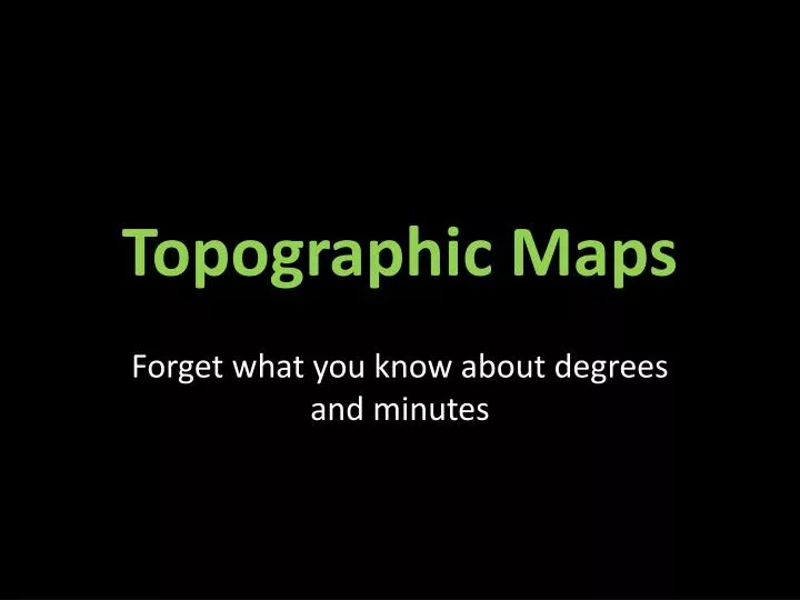
Topographic Maps. Forget what you know about degrees and minutes. This is a map you’re used to working with. This is a topographic map. A topographical map is a very large scale map that shows the shape of the land’s surface. It provides a very detailed look at an area.

E N D
Topographic Maps Forget what you know about degrees and minutes
A topographical map is a very large scale map that shows the shape of the land’s surface. It provides a very detailed look at an area. • Physical features – vegetation, lakes, rivers, marshes, hills and valleys. • Cultural features – highways, bridges, sports tracks, buildings and other built up areas.
This type of map is useful when... • Planning the site for a building • Finding the best path for a new road or highway • Making strategic military moves • Planning a hike • Escaping Man Tracker
These types of maps use contour lines. You’ve probably heard of contour lines in art class. Contour Line drawing of a sneaker
Contour lines are imaginary lines that connect places of equal elevation (height). They are sometimes called "level lines" because they show points that are at the same level.
Contour Lines Contour Lines
If you were taking a hike along a hillside and not walking either uphill or downhill, you would be walking on a contour line.
Contour Lines Contour Lines
The shapes and spacing of contour lines mean different things. • When contour lines are close together, the slope is very steep. • When contour lines are far apart, the slope is very shallow.
Contour Lines Contour Lines
Here’s how contour lines work: The top of this drawing is a contour map showing the hills that are illustrated at the bottom. • Which is higher? • Which is steeper? • How many feet of elevation arethere between contour lines?
Assignment Using a grid
Use the coordinates to draw the picture. Example: (6,11) Connect the dots as you go. When you see “[“ don’t connect the dots. This is for homework. Up Across
Pinpointing Locations Topographic maps are much different from the ordinary maps we are now used to. Instead of degrees and minutes, we use simple 3 digit numbers in a grid.
Legend or Key Coordinates You can divide the space in between coordinates into tenths Topographic coordinates look like this: 405883
Assignment Using a Topographic Map