Download
1 / 16
170 likes | 402 Vues
Remote Sensing in Perspective. Remote Sensing Systems. Lillesand, T.M. & R.W. Kiefer, 1994. Remote Sensing & Image Interpretation . New York: Wiley. Ideal uniform. Reality non-uniform with respect to wavelength, time, and place

E N D
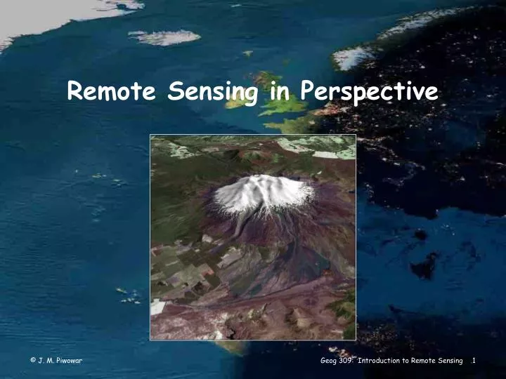
Remote Sensing in Perspective Geog 309: Introduction to Remote Sensing
Remote Sensing Systems Lillesand, T.M. & R.W. Kiefer, 1994. Remote Sensing & Image Interpretation. New York: Wiley. Geog 309: Introduction to Remote Sensing
Ideal uniform Reality non-uniform with respect to wavelength, time, and place sensor and data must be calibrated in order to obtain absolute values of reflected energy from an image RS - Energy Source Geog 309: Introduction to Remote Sensing
Ideal non-interfering Reality the atmosphere modifies the strength and spectral distribution of the energy received by a sensor atmospheric effects vary with time and place RS - Atmosphere Geog 309: Introduction to Remote Sensing
Ideal unique & known Reality radically different material types can be remarkably similar spectrally there is a limited understanding of energy/matter interactions for some earth surface features RS - Surface Interactions Geog 309: Introduction to Remote Sensing
Ideal highly sensitive to all wavelengths produce spatially detailed data Reality all sensors have fixed limits of spectral sensitivity and spatial resolution require frequent calibration RS - Sensor Geog 309: Introduction to Remote Sensing
Ideal real-time processing and interpretation Reality processing sensor data into an interpretable format often is an effort entailing considerable thought, instrumentation, time, experience, and reference data RS - Data Geog 309: Introduction to Remote Sensing
Ideal users have in-depth knowledge of RS/GIS and application disciplines Reality the data generated by RS & GIS systems only becomes information when someone understands their generation, knows how to interpret them, and knows how best to use them RS - Users Geog 309: Introduction to Remote Sensing
Geomatics RemoteSensing GIS Cartography Geomatics Geog 309: Introduction to Remote Sensing
RS-GIS Integration Issues Geog 309: Introduction to Remote Sensing
Raster and Vector Data Geog 309: Introduction to Remote Sensing
Continuous vs. Categorical Data Geog 309: Introduction to Remote Sensing
Higher Spatial Resolutions Geog 309: Introduction to Remote Sensing
Hyperspectral Imaging Geog 309: Introduction to Remote Sensing
Hyperspectral Imaging Geog 309: Introduction to Remote Sensing
Remote sensing ... is the only source of data from which we can view the entire planet and monitor changes in the nature of the surface of the Earth through time in a consistent, integrated, synoptic and numerical manner. Ellsworth LeDrew Geog 309: Introduction to Remote Sensing