Download
1 / 14
140 likes | 243 Vues
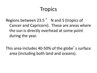
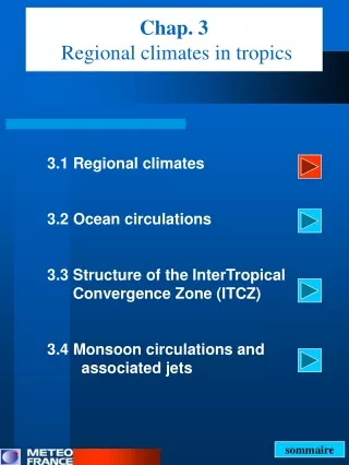
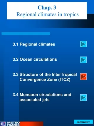
Chap. 3 Regional climates in tropics. 3.1 Regional climates 3.2 Ocean circulations 3.3 Structure of the InterTropical Convergence Zone (ITCZ) 3.4 Monsoon circulations and associated jets. sommaire. 3.2 Ocean circulations Surface current.

E N D
Chap. 3Regional climates in tropics 3.1 Regional climates 3.2 Ocean circulations 3.3 Structure of the InterTropical Convergence Zone (ITCZ) 3.4 Monsoon circulations and associated jets sommaire
3.2 Ocean circulationsSurface current Reminder : wind stress is generated by the effect of the wind on the surface ocean Which is the origin of the South Equatorial Current (SEC) and the North Equatorial Current (NEC) ? ⇨ these surface current are driven by the wind stress Courants océaniques de surface (moyenne annuelle). Source : d’après White et al., 1992
Equatorial undercurrent 3.2 Ocean circulationsSubsurface current Which is the origin of equatorial undercurrent btw 100/200 m ? 40 cm SEC 100 m z 200 m West East Circulations along the Equatorial Pacific Green arrows above sea-level ocean show the wind stress Arrows in the ocean show oceanic circulations Source : Météo-France (F.Beucher) • In regions next to the equator (< 150 km), trades winds pile up • water on the western Pacific, and thus give rise to eastwards • pressure force (next to equator, no influence of the Coriolis Force), • which in turns drives a subsurface current between 100 and 200 m • deep, called ‘Cromwell current’ or Equatorial undercurrent.
Equatorial undercurrent 3.2 Ocean circulationsSubsurface current Which is the origin of equatorial undercurrent btw 100/200 m ? 40 cm SEC 100 m z 200 m West East Circulations along the Equatorial Pacific Green arrows above sea-level ocean show the wind stress Arrows in the ocean show oceanic circulations Source : Météo-France (F.Beucher) • The surface and subsurface currents explain why downwelling • occur on the western flank of Pacific (high SST) and upwelling on • the eastern flank (low SST). • For Atlantic Ocean : same circulation.
E E 3.2 Ocean circulationEkman divergence andequatorial upwelling Which is the origin of the Equatorial upwelling ? Source : Météo-France (F.Beucher) • The oceanic Ekman mass transport, E, is directed at right angles to the right (left) of τ in the northern (southern) hemisphere. The magnitude of E is proportional to the strenght of τ. • Following this rule, at the equator, E is directed away • from the equator producing divergence and upwelling • along the equator.
3.2 Ocean circulationsUpwellings and SST Monthly mean of Sea surface température Source : RéAnalyse NCEP 1981-2002 • The equatorial upwelling and • the coastal upwelling are pronounced • in the sectors of Eastern Pacific and Eastern Atlantic, • which explains that cold tongues of SST occur • in these area.
3.2 Ocean circulationsOcean-atmosphere coupling : upwelling areas Annual Précipitations (m.). Sources : Dorman et Bourke (79,81), Dorman (82), Baumgartnet et Reichel (75) • As atmosphere-ocean coupling plays an important role in tropics (latent heat and sensible fluxes are linked with the SST) shallow convection (St/Sc or shallow Cu) and rare rain ( ) occur in upwelling areas : along the equator + E. Pacific + E. Atlantic
3.2 Ocean circulationsSurface current Which is the origin of the north Equatorial Counter Current (ECC) located at the surface and between a latitud band of 4°N-10°N ? Courants océaniques de surface (moyenne annuelle). Source : d’après White et al., 1992
15°N 2°N 3.2 Ocean circulationsSurface current Location of the North ECC : z Source : Pond et Pickard (83) • The minimum of trades winds occur between 2°N and • 15°N in phase with the location of the North ECC. • The piling-up of water on the western side of ocean is • backing through the North ECC in surface and through • the Equatorial undercurrent in subsurface
ECC 3.2 Ocean circulationsSurface current : ECC Sea Surface Température in August. Source : RéAnalyse NCEP 1981-2002 • Since the north Equatorial Counter Current (ECC) is directed eastwards, warm waters are also advected from the Western Pacific towards the Eastern Pacific • ⇨ we observe within the latitud band of ECC (2°N-15°N) a zone of TSM maximale (>= 28°C). • By coupling ocean-atmosphere, deep convection ( ) is enhanced within this latitud band = mean location of the InterTropical Convergence Zone (ITCZ) sommaire chap.3
ECC 3.2 Ocean circulationsSurface current : ECC Sea Surface Température in August. Source : RéAnalyse NCEP 1981-2002 • We can also explain the fast increasing os SST (+2 à 3 °C) just northwards the equator by the process of downwelling situated at 4-5°N. sommaire chap.3
3.2 Ocean circulations Ekman convergence anddownwelling Source : Météo-France (F.Beucher) • We remind that the Ekman transport E is proportional to the intensity of the wind stress τ. • Since the southeasterlies decrease while they approach the ITCZ, • the Ekman transport decrease too : • ⇨ we observe a strong convergence of Ekman towards 4°N • ⇨ producing downwelling and fast increasing of SST sommaire chap.3
As the ocean-atmosphere coupling plays an important role under tropics (flux of latent heat and sensible heat are linked to SST), we observe heavy rains over areas of SST maximum (>28°C) • Under annual mean, the ITCZ ( ) is located between 5°N-10°N over Central Pacific – Eastern Pacific - Atlantic 3.2 Circulations océaniquesOcean-atmosphere coupling : zone de TSM maxi Annual Précipitations (m.). 10°N Sources : Dorman et Bourke (79,81), Dorman (82), Baumgartnet et Reichel (75) sommaire chap.3 chap 3.3 : ZCIT
- Baumgartner, A., Reichel, E., 1975 : The World water balance. Elsevier, Amsterdam, Oxford, New York, 179 pp. • Dorman, C. E. , 1982 :4Indian Ocean Rainfall’. Tropical Ocean-Atmosphere Newsletter,10,4. • Dorman, C., E., Bourke, R.,R., H., 1979 :’Precipitation over the Pacific Ocean’, 30°N to 30°S. Mon. Wea. Rev., 107, 896-910 • Dorman, C., E., Bourke, R.,R., H., 1981 :’Precipitation over the Atlantic Ocean’, 30°N to 30°S. Mon. Wea. Rev., 109, 554-563 • Pond, S., PIckard, G. L., 1983 : Introduction dynamic oceanography. Second Edition, Pergamon Press, Oxford, New York, Toronto, Sidney, Paris, Frankfurt, 329 pp. • White et Warren B., 1992 :’Reflection of interannual Rossby waves at the maritime western boundary of the tropical Pacific’; Journal of Geophysical Research, Washington, DC, vol.97, n°C9, pp. 14305-14322. References