Download
1 / 37
380 likes | 607 Vues
USING THE HSPF MODEL FOR THE FLOOD EVENT MODEDING IN THE UPPER ISKAR BASIN. PART I HSPF MODEL, CALIBRATION AND VERIFICATION FOR THE UPPER ISKAR BASIN. HSPF MODEL.

E N D
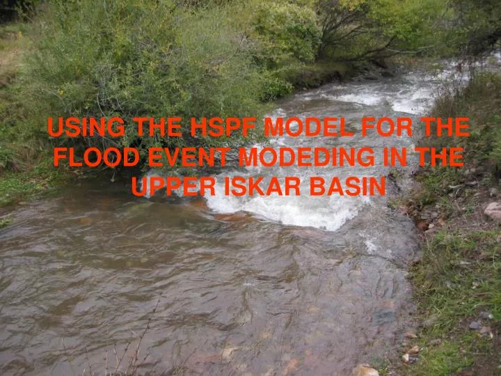
USING THE HSPF MODEL FOR THE FLOOD EVENT MODEDING IN THE UPPER ISKAR BASIN
PART IHSPF MODEL, CALIBRATION AND VERIFICATION FOR THE UPPER ISKAR BASIN
HSPF MODEL • Hydrologic and water quality modelling with the Hydrological Simulation Program per Fortran (HSPF) permits managing of a big volume and various data describing the studied catchment areas derived from the GIS layers and characterizing the meteorological and hydrological conditions for the simulated period of time. The HSPF model simulates the time response of the watershed based on hydrological mass balances, integrating point and non-point sources with fate and transport processes, simulating large scale of watersheds. The model is supported by US Environment Protection Agency (EPA).
HYDROLOGIC PROCESSES • The hydrology modeling is a step in a complex flow and water quality modeling. The hydrologic processes include precipitation, evapotranspiration, interception, storage (upper and lower zone), surface runoff, infiltration, groundwater percolation, interflow and groundwater.
BASINS SYSTEM • HSPF model is created for the EPA’s BASINS system. Better Assessment Science Integrating point and Nonpoint Sources (BASIN) is environmental analysis system, performing watershed-based studies. A Geographic Information System (GIS) provides the framework for BASINS.BASINS has the possibility to integrate and display a broad range of information, to incorporate it into various assessment tools and models, including HSPF model
BASINS systemandHSPF model • HSPF model is created for the EPA’s BASINS system; • HSPF can be run on a single watershed or a system of multiple subwatersheds that have been delineated; • Each subcatchment is subdivided into pervious and impervious land segments and river reaches with their geometric and hydraulic characteristics; • Every landuse type has different algorithm for hydrologic computations;
IMPORTANT GIS THEMES • Some of the themes (displayed as maps below) necessary for HSPF model starting are as follows – Cataloging Unit Boundaries (watershed boundaries), Reach File (rivers system), Digital Elevation Model (topography of the area), Landuse and urban areas for the studied Iskar subcatchment.
Subcatchment of the Iskar River from the spring to the inflow into the Iskar Reservoir - DEM 1361-1742 m 1079-1360 m 1361-1742 m 1079-1360 m 1361-1742 m 1743-2169 m 2170-2889 m
Subcatchment of the Iskar River from the spring to the inflow into the Iskar Reservoir - Landuse Agricultural areas Meadows Barren Areas Urban areas Forests Pastures, rocks
Subcatchment of the Iskar River from the spring to the inflow into the Iskar Reservoir – River system Palakaria River Hydrological flow series – daily data Iskar River – main stream Meteorological data series – daily data Hydrological flow series – daily data Borovishka Bistrica River Tcherni Iskar River Beli Iskar River
CALIBRATION AND VERIFICATION • The hydrological calibration of the Iskar River flow entering the Iskar Reservoir has been done for the period of two years 2000-2001 with a watershed from the spring of the river till the mouth at the reservoir. The calibrated model was verified with data of the 2002 which unlike the previous period (2000- a slightly dry year, 2001- a normal one) could be accepted as a wetone.
INPUT HYDRO AND METEO DATA • Hydrological data – daily water flows. • Meteorological information - maximum and minimum temperature, wind speed, precipitations, cloud cover, dew point temperature. • Compute another necessary meteorological data as solar radiation, evaporation, evapotranspiration and wind travel. • Disaggregate all meteorological data from daily to hourly input time-series
CALIBRATION SCENARIOS • Annual water balance • Seasonal discrepancies • High/low flow distribution, storm flows
PARAMETERS FOR ANNUAL BALANCE CALIBRATION • For the annual balance depending of obtained higher or lower simulated flow the main used parameters are: LZETP (lower zone evapotranspiration) depending on vegetation type and density and behaves as a crop coefficient, DEEPFR (fraction of groundwater inflow to deep recharge) depending on geology and groundwater recharge, LZSN (lower zone nominal soil moisture storage), depending on climate and soil, INFLT (infiltration capacity) depending on landuse and soils, LSUR (length of overland flow) depending on topography, SLSUR (slope of overland flow plane) depending on topography, NSUR (Manning’s roughness), depending on surface conditions.
ANNUAL WATER BALANCE FOR THE ISKAR RIVER INFLOW INTO THE ISKAR RESERVOIR IN cfsd
PARAMETERS FOR SEASONAL BALANCE CALIBRATION • Adjusting the infiltration (INFILTR) will change the water distribution flowing through the upper zone and working together with other parameters as LZSN (mentioned above), UZSN (upper zone nominal soil moisture storage) depending on landuse and soils, AGWRC (base groundwater recession) depending on baseflow recession, KVARY (variable groundwater recession) baseflow recession variation, IRC (interflow recession parameter) depending on soil, landuse and topography, CEPSC (storage capacity) depending on vegetation type and density, landuse, BASETP (fraction of remaining evapotranspiration from baseflow) depending ob riparian vegetation, AGWETP (fraction of remaining evapotranspiration from groundwater), depending on wetland extent, can be determine the allocation and timing of surface runoff, interflow and groundwater.
SEASONAL WATER BALANCE FOR THE ISKAR RIVER INFLOW INTO THE ISKAR RESERVOIR IN cfsd
PARAMETERS FOR HIGH/LOW FLOW DISTRIBUTION, STORM FLOWS • The parameters LSUR, SLSUR and NSUR are decisive for hydrograph shapes and peaks. The INTFW (interflow inflow parameter) depending on soils, landuse and topography is the parameter that determines how much water will enter the ground from the storage and become interflow. INTFW has an effect of timing of runoff by division of water between surface runoff and interflow. IRC (interflow recession parameter) depending on soils, landuse and topography affects the rate at which interflow is discharged from storage altering the falling shape of the curve between peak flow and baseflow
HIGH/LOW FLOWS FOR THE ISKAR RIVER INFLOW INTO THE ISKAR RESERVOIR IN cfsd
Verification of the model Verification for the 2002 Cumulative frequency plot
SIMULATED AND OBSERVED DAILY FLOWS FOR THE INFLOW OF THE ISKAR RIVER INTO THE ISKAR RESERVOIR IN CFSD FOR THE CALIBRATED PERIOD (2000-2001) AND VERIFICATED PERIOD 2002; PRECIPITATIONS IN INCHES
GENERAL STATISTICS AND QUALITY OF FIT OF THE OBSERVED AND SIMULATED FLOW SERIES FOR THE CALIBRATION AND VERIFICATION OF THE MODEL
SENSITIVITY COEFFICIENTS FOR SOME MOST IMPORTANT CALIBRATION PARAMETERS
The observed flood happened during the period 14-18 November 2004 is a typical flood wave for this part of the river. The measured wave had the following characteristics: time to peak - about 12 hours, time of maximum flow - about 3-4 hours, period of recession - about 60 hours, duration of the whole wave – about 75 hours. • Two different time intervals were used in the modeling of the flood event – daily and hourly. The data were measured with half an hour interval. For the daily simulation the average value of the 24 hours interval was used, while for the hourly simulations the observed value at this hour was used.
The results show good correlation between observed and simulated flow values using a daily time step for the period of flood.
In the case with an hourly step the simulated curve is much smother but the high wave is simulated a bit earlier than the observed one
Some measured and simulated flows during the food event 14-17 November, 2004
The modeling with an hourly or a daily steps gives similar results closer to flood period. Anyway the hourly simulated values have smaller total percent difference and comprises on a smoother way the high wave reaching the real maximum registered hourly values cut in the case of the daily step simulation.The water balance for the flood period for the simulated and observed data is less than 5%.As a defect of the hourly simulated values, compare to the registered values, is the advance of the simulated flows with several hours. In the case of the daily simulation, as a rougher one, this advance is not noticed.
Further usage of the HSPH model for flood simulations in the Upper Iskar basin
Further usage of the HSPH model for flood simulations – extraordinary flood in the Lesnovskar River, 2005
Strengths: 1.Physically based model that incorporates GIS data; 2. Friendly computational environment for different scenarios testing; 3. Can simulate large-scale watershed; 4. Integrates point and non point sources with fate and transport processes;5. Differentiation of the pervious add impervious lands in different modules;6. The hydrological simulations of the HSPH model for a typical Bulgarian river as the Iskar River led to good results, including flood event simulation
Weaknesses:1. Required large scale of geographic, topographic, meteorological, hydrological data not always entirely available or totally missing. 2. Relatively weak influence of some of the calibration parameters on the hydrological simulations.3. HSPF model requires a long time from the beginning with data collection, trough GIS layers preparation till the final hydrological simulations for any new watershed.