Download
1 / 6
180 likes | 448 Vues
Brazil remote sensing applications in water resources management and irrigation. THE CLIENT SUGGESTED APPLICATIONS. Erwin De Nys. Feb 29, 2012. OUR CLIENTS. At federal and state level Water agencies: ANA and state agencies Regional development agency: CODEVASF (irrigation)

E N D
Brazil remote sensing applications in water resources management and irrigation • THE CLIENT • SUGGESTED APPLICATIONS Erwin De Nys Feb 29, 2012.
OURCLIENTS • At federal and state level • Water agencies: ANA and state agencies • Regional development agency: CODEVASF (irrigation) • Ministries involved in WRM • A particular focus on semi-arid Northeast Brazil (drought and floods) and south-east • Growing attention to planning and management of water resources (quantity and quality) • Strong institutional collaboration with meteorological agencies, universities etc. • Bank support towards integration of water sub-sectors
Brazil • Federative Republic • 26 States • 1 Federal District • 5,564 Municipalities • 8,514,877 km2 • 12 % of the world water availability • 12 hydrographic regions • 192 million inhabitants
APPLICATIONS WRM • Ceará state: strong institutional framework • Reducing vulnerability to flood hazards • Drought: water rights enforcement and allocation • Eutrophication of water bodies • Drought indices and insurance mechanisms • Land degradation and impact on hydrology • high operational, institutional and socio-economic impact
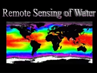
USE OF SATELLITE DATA - FUNCEME METEOROLOGY, ENVIRONMENT & WATER RESOURCES CBERS APPLICATIONS M E T E O R O L O G I C A L E N V I R O M E N T A L Monitoring 26 dias Infrastructure (ReservoirSurvey) Landuse/Land Degt. Weather Fire NDVI NOAA LANDSAT 1 hora Data Assimilation WeatherNumericModels HydrologicModelling 16 dias Experimental Studies Experimental Basin (SMOS) – Validation of Satellite Products ASTER METEOSAT Land –AtmosphereInteraction 16 dias 15 min Zoning GeoenvironmentalAgriculture EcologicalEconomical SPOT 5 ThematicMapping 26 dias GeologyVegetationSoilBasin Land Degradation
APPLICATIONS IRRIGATION • Irrigation development in São Francisco River Basin • Satellite imagery to support complex multi-disciplinary work (I&D, WSS, environment, infrastructure and social services) • Hydraulic modeling • Territorial planning within irrigation schemes • Cadastre of irrigation users • CODEVASF and water users’ associations