Download
1 / 17
170 likes | 251 Vues
University of Helsinki. Soil erosion modeling and risk analysis for a mountainous watershed. Ping Zhou. Viikki Tropical Resources Institute (VITRI), University of Helsinki. Nordic GIS Conference 2 Oct.2006.

E N D
University of Helsinki Soil erosion modeling and risk analysis for a mountainous watershed Ping Zhou Viikki Tropical Resources Institute (VITRI), University of Helsinki Nordic GIS Conference 2 Oct.2006
Project: Trees for the Yangtze River: Watershed management and ecosystem rehabilitation in Sichuan Province, China (WAMEC)2004-2006 Project collaborating partners and advisors: University of Helsinki Dept. of Forest Ecology / VITRI, project leader (Prof. Olavi Luukkanen) Dept. of Forest Resources Management (Prof. Timo Tokola) Dept. of Applied Chemistry and Microbiology (Dr Kristina Lindström) China Chinese Academy of Sciences/Chengdu Institute of Biology (Director, Prof. Chunyang Li) Sichuan Agricultural University, Yaan (Prof. Xiaoping Zhang) Chinese Academy of Forestry (CAF)/Institute of Forest Ecology, Environment and Protection, Beijing (RIFEEP; Institute Director Prof. Shirong Liu) Beijing Forestry University (Prof. Jijue Li)
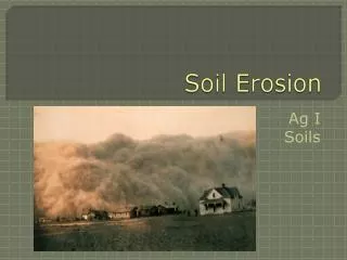
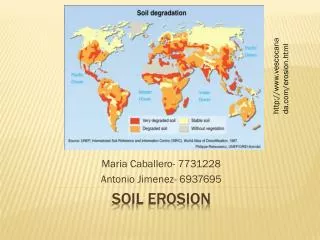
Introduction • The Upper Minjiang River Watershed (UMRW) is an ecologically and environmentally fragile area • Deforestation (The forest cover decreased from 50% to 10%~15% in 1980’s, even to 5%~7% along the river, after “returning farmland to forest”, now is about 21%) • Soil degraded (Degraded soils are found on 44% of the area) • Studies have already been done: the runoff and sediment loads (Hayashi et al. 2004) soil moisture distribution (Ma et al. 2004) vegetation type on hydrological process (Jiang et al. 2004) soil erosion (Ma et al. 2003) Little research has been directly addressed towards soil erosion and risk analysis at landscape scale in this degraded watershed.
Problems • Soil erosion is a serious problem in the watershed, which can • -degrade soilproductivity • decrease water quality • cause sedimentation • increase the probabilityof flood. • Very hard to measure erosion in montanious watershed. • Large scale problem, needs large scale analysis to provide solution and recommendations.
Method 1_conceptual model Rainfall data Rainfall raster R Digital Elevation Model k-NN method Satellite images C Landcoverraster Inventory data Soil loss LS Elevation map Slope & contributing area rasters Digitized streams K Soil map Soil raster P Soil erodibility
Techniques • Revised Universal Soil Loss Equation(RUSLE) • Geographic Information System (GIS) As a tool to integrate, analyse, evaluate data • Remote Sensing (RS) Bands information • k-NN method For C factor estimation
Data p o l e p o l e P L O T 1 0 M T R E E P L O T 2 0 M p o l e p o l e • Soil map • drainage network map • Elevation map (contour lines) • Satellite Images • Inventory data on vegetation cover • Rainfall data from meteorological stations • Soil erodibility data
Result 1_R factor Average annual precipitation (APP) showed a significant (p < 0.01) correlationr = 0.74 with the station elevation. A multivariate cokriging method was used to make the interpolation
Result 2_C factor k=8 D=55km Bands = (1,2,3,4,5,7) k-NN method WRS2 130/037 & 130/038, 10th July 2002 Vegetation coverage (625 points) (surface coverage and canopy coverage) C factor (0.015-0.892)
Result 4_K factor K factor (0.0363 - 0.0427)
Result 5_soil loss (Zhou et al. 2006)
Thank you! University of Helsinki VITRI