Download
1 / 11
110 likes | 1.18k Vues
Remote Worker Global Positioning Satellite (GPS) Tracking ... Scalable pilot project using GPS Enabled Cellular Phones to track Remote Workers ...

E N D
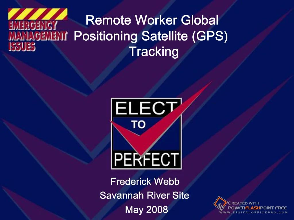
Slide 1:Remote Worker Global Positioning Satellite (GPS) Tracking
Leveraging GPS technology to protect SRS Remote Workers Frederick Webb Savannah River Site May 2008
Slide 2:Remote Worker Definition:
A remote worker is any worker within the SRS boundaries who cannot hear an installed safety alarm system. Some examples of remote workers at SRS are: - Soil & Groundwater Closure Projects (SGCP) - U.S. Forest Service workers, - Deer Hunt Workers, - Construction Workers, - Savannah River Ecology Lab (SREL) in the Field
Slide 3:Remote Worker Definition:
Who is not a remote worker? Persons in transit on site roadways or performing assignments in routinely-occupied buildings with public address systems are not remote workers. Examples are: Traveling to another building Traveling to and from work Workers in a facility or Area Workers on a break walking on trails or roads
Slide 4:Current Remote Worker Tracking:
Dispatch Centers Savannah River Site Operations Center (SRSOC) Savannah river Ecology Lab (SREL) Site Utilities Division (SUD) U.S. Forest Service Soil and Groundwater Closure Projects (SGCP) Each dispatch center logs remote worker in system Places remote worker figure on map location Logs remote worker out when notified of departure
Slide 5:Current Remote Worker Tracking:
Slide 6:Global Positioning Satellite (GPS) Phones: Scope
Scalable pilot project using GPS Enabled Cellular Phones to track Remote Workers Phone serves as primary communication between remote worker and dispatcher while acting as a tracking device Verizon Wireless Commercial Off The Shelf (COTS) product "Field Force Manager� While operating in a Verizon network coverage area, sends its geographic position every two minutes
Global Positioning Satellite (GPS) Phones: Scope System uses the most current position from the worker�s GPS phone to automatically digitize their location when they check out to the field System monitors the worker�s location and automatically updates the Geographical Informative System (GIS) Automated process continues until the remote worker checks in from the field System automatically notifies Dispatcher when a worker approaches a restricted area (Deer Hunt, Prescribed Burn...)Slide 8:GPS Phones: Benefits
Safety Continuous monitoring Accuracy of location Accuracy Accuracy of worker locations improved from +/- 1 mile to +/- 100 feet (autonomous GPS) Automating the process Labor Savings of digitizing worker locations Elimination of Human Error Factors
Slide 9:GPS Phones: Status
Pilot Project Operational in piloted project environment 10 Cellular Phones, 1 Dispatch Center Currently preparing business case for site wide implementation
Slide 10:GPS Phones: Issues
Verizon Network Coverage Must be resolved first Migration to Production Environment Deployment: How many phones? Who gets them? What about subcontractors? What about U.S. Forest Service?
Slide 11:Remote Worker GPS Tracking
Questions?