Download
1 / 13
130 likes | 141 Vues
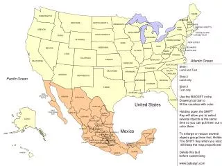
Quantitative Soil-landscape Modeling Research Prof. Paul Gessler University of Idaho, USA. Brief history/background (Wisconsin, New Mexico, Australia, California/Hawaii, Idaho…) Soil-landscape modeling research – Australia: landscape scale – quant. modeling

E N D
Quantitative Soil-landscape Modeling ResearchProf. Paul GesslerUniversity of Idaho, USA • Brief history/background (Wisconsin, New Mexico, Australia, California/Hawaii, Idaho…) • Soil-landscape modeling research – Australia: landscape scale – quant. modeling • Continued research - southern California: hillslope scale - s-l function (dynamic processes, biogeochemical cycling) • Demonstration
Traditional Soil Mapping - outdated conceptual model lack of quantitative models, observational • Contemporary tools: field instrumentation, GPS, GIS, terrain analysis, statistical modeling, visualization, process modeling, monitoring • Monitor & visualize dynamic processes, establish better understanding of structure and function of soil-landscape & ecosystem processes - NPP, nutrient cycling, gas exchange, water balance
El Niño 975 mm La Niña 360 mm 342 mm 1997 1998 1999 2000
Animation of El Niño - 1998 January to May weekly time steps June to August monthly time steps 1-D soil water balance model vs. field measured values
Summary • quantitative soil-landscape modeling methods • environmental modeling: modeling to understand landscape process and function • monitoring sites: invaluable to advancing - funding difficult • terrain - sampling, interpolating, scaling, aggregating to broader scales • opportunities for scientists studying upland water dynamics to link with those studying lake dynamics and climate change impacts