Download
1 / 18
220 likes | 505 Vues
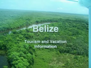
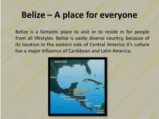
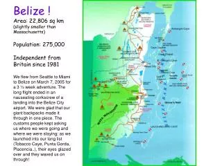
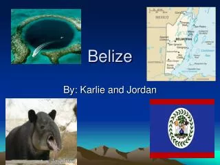
BELIZE. BASIC GEOGRAPHY 3-16-10. Belize is the northernmost country in Central America, due south of New Orleans. From http://www.infoplease.com/atlas/centralamerica.html. Belize is a compact country: 80 miles N to S 60 miles E to W.

E N D
BELIZE BASIC GEOGRAPHY 3-16-10
Belize is the northernmost country in Central America, due south of New Orleans. From http://www.infoplease.com/atlas/centralamerica.html
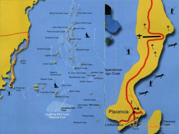
Belize is divided into six political districts. We will spend time in Belize, Toledo, Stann Creek, and Cayo districts.
Belize has five highways. The Coastal (also called Manatee) is not entirely paved as of 2007.
An elevation map of Belize shows the “central highlands.” When we go to Cockscomb, we will be at the edge of this zone.
This cross-section of Belize gives a visual image of the country’s physiographic relief. The left is west and the right is east.
An infrared map of Belize and surrounding areas shows that Belize is mostly vegetated. - Red = vegetation-Aqua = freshwater-Blue = estuaries-Black = marine water
Belize is a tropical country. However, it is generally wet to the south and dry to the north. It rains about 170” per year in the south, and 50” in the north.
This section shows why Belize gets so much rain in the south. Moist air travels inland (as clouds), cools as it rises over the Maya Mountains, and drops its water accordingly.
Since its beginning as a sovereign nation on September 21, 1981, the Belize government had the foresight to preserve vast areas.
Like most countries, Belize produces different products in different areas, with some overlap.
This map shows the potential for agricultural development for Belize.
The population of Belize is about 310,000 (World Bank 2008). The demographic pyramid for 2006, layered by age cohorts, shows that males and females are about 50/50, and there is a huge young population. What are the potential ramifications of such demographics?
This is a map of Guatemala. We will leave San Ignacio, Cayo District, Belize and travel west to the Petén District, Guatemala, to visit Tikal, the magnificent Maya ruin.
Petén is an intriguing place. Once the “capital” of the Maya nation, it is steeped in history. Tikal was once one of the most powerful city-nations in the world.