Download
1 / 20
200 likes | 373 Vues
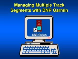
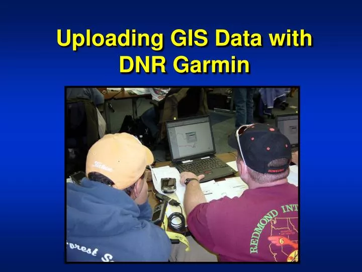
Uploading GIS Data with DNR Garmin. Review of DNR Garmin Uses. Upload. Download. Upload. Objectives. Upload Polygons / Lines as Tracks Upload Points as Waypoints Confirm data in GPS receiver. Connect Garmin to Computer. Connect GPS to PC with download cable.

E N D
Review of DNR Garmin Uses Upload Download Upload
Objectives • Upload Polygons / Lines as Tracks • Upload Points as Waypoints • Confirm data in GPS receiver
Connect Garmin to Computer Connect GPS to PC with download cable Connect cable to Serial Port No serial port? Use USB adaptor cable
Set Interface to Garmin Press Menu Twice
Open DNR Garmi n Make sure projection is correct!
Select File for Upload 1. Browse to folder 3. Select File 2. Select File Type: ArcView Shapefile 4. Click Open
Confirm Data in DNR Garmin • Confirmation Message • Track Points in Table Line shapefile has been loaded into DNR Garmin as track points
Identify Fields These Fields will Transfer to GPS
Waypoint Upload WARNING! • If an uploading waypoint has the same ID name as a waypoint in the GPS receiver, then the waypoint in the GPS receiver will be overwritten. • Although this is not an issue today, it may happen on a fire!
Confirm Data in DNR Garmin • Confirmation Message • Waypoints in Table Point shapefile has been loaded into DNR Garmin as waypoints
Check GPS Receiver - Map Page Congratulations!
Review of Objectives • Upload Polygons / Lines as Tracks • Upload Points as Waypoints • Confirm data in GPS receiver