Download
1 / 63
630 likes | 649 Vues
The Biosphere. Chapter 42. Climate. Average weather condition in a region Affected by: amount of incoming solar radiation prevailing winds elevation. The Atmosphere. Three layers Outer mesosphere Middle stratosphere (includes ozone layer)

E N D
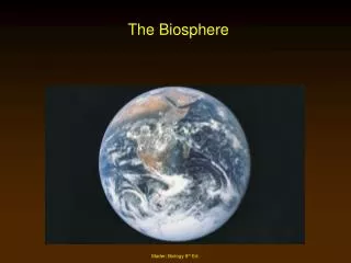
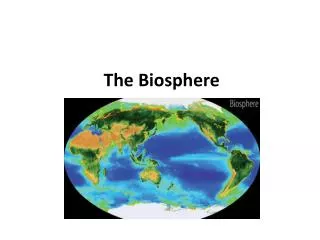
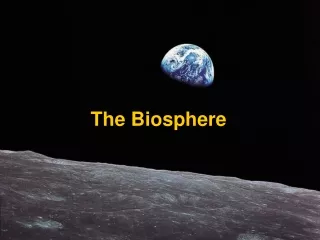
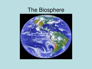
The Biosphere Chapter 42
Climate • Average weather condition in a region • Affected by: • amount of incoming solar radiation • prevailing winds • elevation
The Atmosphere • Three layers • Outer mesosphere • Middle stratosphere (includes ozone layer) • Inner troposphere (where air is warmed by the greenhouse effect)
Warming the Atmosphere • Solar energy warms the atmosphere and sets global air circulation patterns in motion
Rotation and Wind Direction • Earth rotates faster under the air at the equator than it does at the poles • Deflection east and west
Seasonal Variation • Northern end of Earth’s axis tilts toward sun in June and away in December • Difference in tilt causes differences in sunlight intensity and day length • The greater the distance from the equator, the more pronounced the seasonal changes
Pollutants • Substances with which an ecosystem has had no prior evolutionary experience • No adaptive mechanisms are in place to deal with them
Ozone Thinning • In early spring and summer ozone layer over Antarctica thins • Seasonal loss of ozone is at highest level ever recorded
Effect of Ozone Thinning • Increased amount of UV radiation reaches Earth’s surface • UV damages DNA and negatively affects human health • UV also affects plants, lowers primary productivity
Air Pollutants • Carbon oxides • Sulfur oxides • Nitrogen oxides • Volatile organic compounds • Photochemical oxidants • Suspended particles
Protecting the Ozone Layer • CFC production has been halted in developed countries, will be phased out in developing countries • Methyl bromide will be phased out • Even with bans it will take more than 50 years for ozone levels to recover
Thermal Inversion • Weather pattern in which a layer of cool, dense air is trapped beneath a layer of warm air cooler air normal circulation cool air warm air cool air warm inversion air cool air
Industrial Smog • Gray-air smog • Forms over cities that burn large amounts of coal and heavy fuel oils; mainly in developing countries • Main components are sulfur oxides and suspended particles
Photochemical Smog • Brown-air smog • Forms when sunlight interacts with components from automobile exhaust • Nitrogen oxides are the main culprits • Hot days contribute to formation
Acid Deposition • Caused by the release of sulfur and nitrogen oxides • Coal-burning power plants and motor vehicles are major sources
Ocean Currents • Upper waters move in currents that distribute nutrients and affect regional climates
Rain Shadow • Air rises on the windward side, loses moisture before passing over the mountain
Monsoons • A pattern of wind circulation that changes seasonally • Affect continents north and south of warm-water oceans • Can cause seasonal variation in rains
Coastal Breezes • Breeze blows in direction of warmer region • Direction varies with time of day
Biogeographic Realms • Six areas in which plants and animals are somewhat similar • Maintain their identity because of climate and physical barriers that tend to maintain isolation between species
Biomes • Regions of land characterized by habitat conditions and community structure • Distinctive biomes prevail at certain latitudes and elevations
nearctic neotropical
palearctic oriental ethiopian australian
Hot Spots • Portions of biomes that show the greatest biodiversity • Conservationists are working to inventory and protect these regions • 24 hot spots hold more than half of all terrestrial species
Deserts • Less than 10 centimeters annual rainfall, high level of evaporation • Tend to occur at 30 degrees north and south and in rain shadows • One third of land surface is arid or semiarid
Dry Shrublands and Woodlands • Semiarid regions with cooler, wet winters and hot, dry summers • Tend to occur in western or southern coastal regions between latitudes of 30 and 40 degrees
Forest Biomes Tall trees form a continuous canopy • Evergreen broadleaves in tropical latitudes • Deciduous broadleaves in most temperate latitudes • Evergreen conifers at high temperate elevations and at high latitudes
Arctic Tundra • Occurs at high latitudes between polar ice cap and boreal forests • Summers are short and snow-free • Permafrost lies beneath surface, causes waterlogging in summer • Nutrient cycling is very slow
Alpine Tundra • Occurs at high elevations throughout the world • No underlying permafrost • Plants are low, cushions or mats as in arctic tundra
How much are you aware? Is the native vegetation of the place where you live forest, grassland, or dessert? Can you describe the physical characteristics of three plant species that are native to your area? What body of water serves as the source of your tap water? How is your electricity generated? Where does your garbage go?
Biomes - Land • Primary vegetation types • Four basic land biomes: • Forest • Grassland • Desert • Tundra
Biomes - Land Forest • Tropical forests - Highly diverse and capture all light • Temperate forests - Deciduous trees which drop leaves annually • Boreal forests - highly uniform, coniferous trees of 1 or 2 species • Chaparrel - woody spiny evergreen shrubs • Grassland - area where rainfall is not enough for tree growth • Tropical - savannas - free trees - cleared by fires • Temperate - prairies (tall grass) and steppes (short grass)
Biomes - Land Desert • Rainfall is sparse • Animals and plants have evolved ways to conserve water Tundra • Coldest biome - close to the poles • Permafrost - keeps soils moist and bogged
Biomes - Aquatic • Freshwater • Lakes and Ponds - surrounded by land • Vernal ponds - dry up in the summer • Rivers and Streams - flowing water • Wetlands - support above water plants • Saltwater • Oceans • Coral reefs • Estuaries
Soil Characteristics • Amount of humus • pH • Degree of aeration • Ability to hold or drain water • Mineral content
Soil Profiles • Layer structure of soil • Soil characteristics determine what plants will grow and how well Rain forest Grassland Desert Deciduous Coniferous
Lakes • Bodies of standing freshwater • Eutrophic lake is shallow, nutrient-rich, has high primary productivity • Oligotrophic lake is deep, nutrient-poor, has low primary productivity
Lake Zonation LITTORAL LITTORAL LIMNETIC limit of effective light penetration PROFUNDAL
Thermal Layering • In temperate-zone lakes, water can form distinct layers during summer wind THERMOCLINE
Seasonal Overturn • In spring and autumn, temperatures in the lake become more uniform • Oxygen-rich surface waters mix with deeper oxygen-poor layers • Nutrients that accumulated at bottom are brought to the surface
Eutrophication • How do nutrients enter a lake? • Can occur naturally over long time span • Can be triggered by pollutants
Streams • Begin as springs or seeps • Carry nutrients downstream • Solute concentrations are influenced by streambed composition and human activities
Estuary • Partially enclosed area where saltwater and freshwater mix • Dominated by salt-tolerant plants • Examples are Chesapeake Bay, San Francisco Bay, salt marshes of New England
Estuarine Food Webs • Primary producers are phytoplankton and salt-tolerant plants • Much primary production enters detrital food webs • Detritus feeds bacteria, nematodes, snails, crabs, fish
Mangrove Wetlands • Tropical saltwater ecosystem • Form in nutrient-rich tidal flats • Dominant plants are salt-tolerant mangroves • Florida, Southeast Asia
Rocky Intertidal • Grazing food webs prevail • Vertical zonation is readily apparent • Diversity is greatest in the lower littoral zone
Sandy Coastlines • Vertical zonation is less obvious than along rocky shores • Detrital food webs predominate
Intertidal Zones • Littoral zone is submerged only during highest tides of the year • Midlittoral zone is regularly submerged and exposed • Lower littoral is exposed only during lowest tides of the year