Download
1 / 27
270 likes | 392 Vues
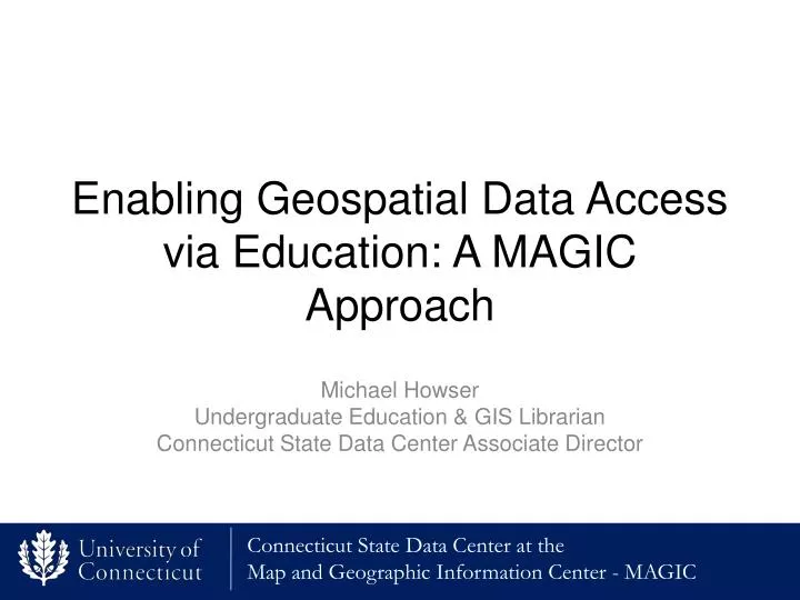
Enabling Geospatial Data Access via Education: A MAGIC Approach. Michael Howser Undergraduate Education & GIS Librarian Connecticut State Data Center Associate Director. How it all began…. Initial Driving Force

E N D
Enabling Geospatial Data Access via Education: A MAGIC Approach Michael HowserUndergraduate Education & GIS Librarian Connecticut State Data Center Associate Director
How it all began… Initial Driving Force The University of Connecticut Libraries Map and Geographic Information Center (MAGIC) joined the Undergraduate Education Team within the Libraries during a reorganization in 2008. MAGIC needed to transition for expert user focus to meeting the needs of general users and undergraduate students
Reimaging MAGIC • Reviewed Uconn Academic Plan and Library Strategic Plan • Looked to peers • Reviewed Horizon Report from EDUCAUSE to identify trends
Listening to Students First Phase • Empowered student employees at MAGIC to develop project ideas • Encouraged creativity • Reviewed keyword search data • Focuses on problem solving
We want to learn more! Second Phase • Students expressed interest in internships at MAGIC • Collaborated with Department of Geography to develop internship program
Internship Program at MAGIC Students receive academic credit for internship (no pay) Students work with advisor and MAGIC to identify learning goals Project outlined is developed based on learning goals Final version of project will be publicly accessible with clear attribution to student
Why Students Wanted an Internship Program at MAGIC? • Classroom experience is task based with achievable outcomes • Need to increase problem solving ability with GIS • Desire to work on “Real” projects • Interest in learning data creation process
Spring 2010 • 2 undergraduate students were first students to enroll in internship experience at MAGIC • Both students excelled in the program, and enrolled in graduate programs upon completion of internship experience Projects – Spring 2010 • Historical Railroad Maps • Scanning • Georeferencing • Making publicly available • GIS Datasets • Revised shapefiles • Appended join fields for 2010 Census data • Developed and updated metadata
Spring 2011 • Two undergraduate student in geography • Goal was to increase experience with GIS Project - Spring 2011 • Developed GIS datasets • Processed 2010 Census data as it was released • Developed maps on 2010 Census data • Developed climate and precipitation maps
Fall 2011 • 3 undergraduates in geography • 1 graduate student in geography • Each project is treated as an individual learning experience Projects – Fall 2011 • Website development • Air Navigation Map Index • 2010 Census GIS Dataset Development • GIS map development and GIS dataset development
Spring 2012 • 1 graduate student from geography • Focus was on developing datasets for future projects • Projects – Spring 2012 • Historical aerial photography mosaics
Spring 2012 – Independent Study Projects • 2 Undergraduates and 1 graduate student in geography • Projects were developed with an independent study focus • Treated as researchers with full access to everything in collections Spring 2012 Projects • Historical Air Navigation Index Interface Development • ArcGIS Server Installation and Configuration • Historical Aerial Photography Mosaicing
Internships have helped MAGIC and the Connecticut State Data Center to Provide More Content, More Resources, and Services
Or to put it another way…. 601,220 Total Views of Website content provided by MAGIC and the Connecticut State Data Center between January 1, 2011 to December 31, 2011
Using WordPress for Website Development Fall 2011
ArcGIS Server Test Interface Spring 2012
Air Navigation Maps Index 1923-1935 Fall 2011 – Spring 2012
2010 Census Data Spring - Fall 2011
2010 Census Maps Spring 2011
Historic Railroad Maps Spring 2010
Climate Maps Spring 2010
Air Photo Mosaics Fall 2011 – Spring 2012
Next Steps Increasing partnerships and collaborative projects Expanding internship program to additional departments across campus Exploring Independent Study Project Options
A Model For Success Strengthening connection to teaching is a win win Provides students with experience working with projects and datasets that benefit the public Provides a great way to strengthen skills in GIS while working on projects that benefit the public
Questions? Want to know more about the internship program? Contact us at: magic@uconn.edu Special Thanks to all of the faculty and students that have made the internship program a success!