Download
1 / 28
280 likes | 392 Vues
National Weather Association Annual Meeting. Atmospheric Research. Richard W. Spinrad, Ph.D. Assistant Administrator NOAA Office of Oceanic and Atmospheric Research October 18, 2006. Overview. Observing Systems Modeling Information Systems Test Beds. Observing Systems.

E N D
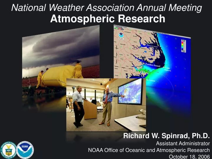
National Weather Association Annual Meeting Atmospheric Research Richard W. Spinrad, Ph.D. Assistant Administrator NOAA Office of Oceanic and Atmospheric Research October 18, 2006
Overview • Observing Systems • Modeling • Information Systems • Test Beds
Observing Systems Global Earth Observation System of Systems
Observing Systems Hurricanes NOAA Research developed radar that will provide unprecedented observations of the three-dimensional structure of the hurricane vortex Stepped-Frequency Microwave Radiometer Airborne Doppler Radar WP-3D & G-IV
Observing Systems Hurricanes • Surface Wind Analysis
Observing Systems Weather Phased Array Radar Polarimetric Radar
Observing SystemsUnmanned Aircraft Systems • Status: • Several tests conducted in 2005-06 • Next Steps: • Continue UAS tests • Continue interagency collaborative efforts • Continue to develop UAS capability with Alaska officials Broad Range of Platforms Types: High, Medium or Low Altitude Sizes: Few lbs to size of 737 Ranges: 1mile to 14,000 miles Endurance: 1 hour to >30 hours Altitude: 100 ft to 65,000ft
Initial Global Ocean Observing System for Climate • System 56% complete. • Designed to meet climate requirements but also supports: • Weather prediction • Global and coastal ocean prediction • Marine hazards warning • Transportation • Marine environment and ecosystem monitoring • Naval applications • Homeland security • Objectives are well defined with performance measures. • Well coordinated nationally and internationally – the ocean baseline of Global Earth Observing System of Systems (GEOSS). • IOOS Tide gauge stations • IOOS Drifting Buoys • IOOS Tropical Moored Buoys • IOOS Argo Profiling Floats • IOOS Ships of Opportunity • IOOS Ocean Reference Stations • IOOS Ocean Carbon Networks • IOOS Arctic Observing System • Dedicated Ship Support • Data & Assimilation Subsystems • Management and Product Delivery • Satellites (managed outside of IOOS)
ModelingWRF-based Rapid Refresh • Status: • Rapid Refresh uses GSI analysis and WRF forecast model • Development and testing ongoing at NOAA ESRL • Next Steps: • Run Rapid Refresh in real-time test cycle at ESRL in 2007 • Pre-implementation testing at NCEP in 2008 • NCEP operational implementation in 2008-09
New Global ModelGFDL CM2.1 • Innovative features - • 1. State of the art model physics • 2. Software for modern supercomputers • 3. Widespread public dissemination of model output Lead to – 1. Outstanding ability to simulate past climate, increasing our confidence in future projections 2. Wide recognition of world class status of GFDL/NOAA models Observed global temperature Modeled global temperature
ModelingUpgraded GFDL Hurricane Model • 2006 model improvements: • 1. Explicit cloud microphysics • 2. Improved surface fluxes • 3. Assimilation of observed Loop Current structure Lead to – 1. Accelerated multi-year trend of reduced intensity error 2. Intensity predictions in 2006 that had lowest errors of all guidance
ModelingHurricane WRF • Next Steps: • Provide high-quality atmosphere and ocean observations for assimilation into and evaluation of HWRF • Explore technologies to obtain and use new observing systems (e.g., GEOSS, IFEX) • Test and evaluate new techniques to represent key physical processes • Develop new techniques to evaluate/diagnose the HWRF fields • Accelerate transition of promising technologies to operations (e.g., JHT) HWRF DENNIS
ModelingGFDL Hurricane Model Skill • GFDL model upgrades: • GFDL has continued to upgrade its hurricane prediction system every hurricane season. • 2. Major upgrades made in both resolution and physics. Lead to – Lowest track error of any other model guidance over the past 4 years in both the Atlantic and Eastern Pacific at each forecast time level.
Information SystemsAWIPS Evolution • Status: • Efforts underway to develop new modeling and graphics products • Some testing just completed, report pending • Potential Benefit: • Operational flexibility
Testbeds • USWRP Joint Hurricane Testbed • Hydrometeorology Testbed • Development Test Center – WRF Model • High-Impact Weather Testbed • Climate Testbed
Joint Hurricane Testbed • Status: • 6th year, 4th round of two-year competitive awards • 15 of first 24 projects accepted for operations • Result -- measurable improvement in track and intensity forecasts at landfall through improved decision support capabilities and operational hurricane modeling • Next Steps: • Continue funding 2-year competitive awards • Increased emphasis on improved intensity forecasting • Once significant improvements are documented, emphasize improved forecasting of rainfall
Hydrometeorological Testbed HMT WEST - Cool Season HMT EAST – All Season, including Hurricane Landfall HMT CENTRAL – Warm Season • Status: • Recommended by USWRP • Implementing regionally • HMT-prototype 2003-04 • HMT-West 2005-09 • Addresses Sacramento flood risk • Next Steps: • Provide state-of-the-art QPE • to evaluate hydrologic models • Winter QPF in mountains • HMT-East (2009-12) • HMT-Central (2012-16)
TestbedsDevelopmental Test Center • Current status: • Established process for testing and evaluating new NWP science and technologies and retrospective testing of operational model systems • Built strong working relationship between the research and operational communities • Next step: • Complete interagency Terms of Reference needed to establish stable resources for maintaining and supporting WRF Reference Code to the community
Hazardous Weather Testbed Current Status: • Operated jointly each Spring • 50-60 government, academic, & private sector researchers & forecasters participate • Next Steps: • Continue expansion of scope to include warning- • scale (0-1 hour) problems by including Weather • Forecast Office participation • Assess operational benefits of new systems (PAR, Polarimetric radar, 3D Lightning Mapping Array, CASA Radars) • Help develop and assess probabilistic warning products
Climate Testbed Accelerate transition of climate research to improved NOAA climate forecast products and services • Status: • Consolidation of multi method Seasonal Forecasts at CPC • Experimental Drought Early Warning System for NIDIS • Drought Early Warning System (DEWS) for NIDIS • Next Steps: • FY07: budget includes 1-2 additional competitive projects; new and improved official climate forecast products
Forecast for the Future • The goal is to access and provide the right information, in the right format, at the right time, to the right people, to make the right decisions.
Importance of Research to OperationsHurricane Modeling Improvement • GFDL-URI Coupled Hurricane-Ocean Model • Factors the Effect of the Ocean on Hurricanes • Reduction in 3-5 day hurricane track and intensity forecast errors • One of the most accurate tropical cyclone forecast systems in use today • Contributed to reduction of official track forecast errors by 1/3 over last 15 years • Represents 16 years of hurricane model development • Continually Improved
Observing Systems 6 6 9 9 1-km 1-km altitude Hurricanes Outflow and deep wind max to East Inflow and shallow wind max to West • Doppler analyses from 1st W-E leg during Katrina landfall showing asymmetry in horizontal and vertical wind distribution
Test bed concept Marty Ralph NOAA/ETL-PACJET
Testbeds Joint Center for Satellite Data Assimilation • NOAA, NASA, DOD • Mission • Accelerate and improve the quantitative use of research and operational satellite data in weather and climate prediction models • Current generation data • Prepare for next-generation (NPOESS, METOP, research) instruments • Supports applied research • Partners - University, Government and Commercial Labs
Integrated Ocean Observing System (IOOS) AVHRR Tide Gauges Tsunami Buoys Hurricane Buoys Argo Floats