Download
1 / 7
70 likes | 73 Vues
This plan outlines the gradual phasing out of NOAA Raster Charts and the transition to Enhanced Electronic Navigational Chart (ENC) services. The goal is to improve the quality and coverage of ENC products while discontinuing traditional paper charts in favor of printable charts generated through the Custom Chart process.

E N D
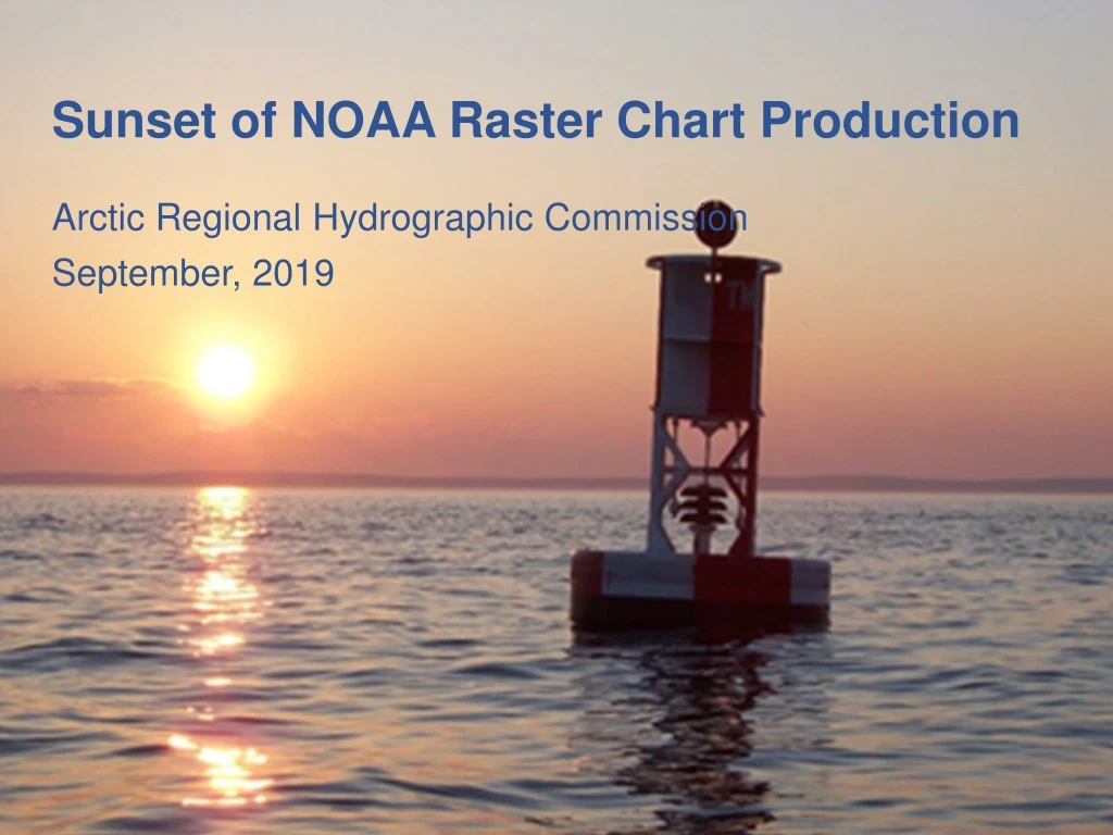
Sunset of NOAA Raster Chart Production Arctic Regional Hydrographic Commission September, 2019
Time Scales of Navigation Information 2010 Vessel Positions Marine Safety Info Weather Navaids Navigation Hazards Channel Condition Bathymetry Tides and Currents Shoreline Minutes Months Seconds Hours Days Weeks Years Decades NAVTEX AIS Notice to Mariners Charts and Pubs RadioFax Broadcast NTM Office of Coast Survey National Oceanic and Atmospheric Administration
Time Scales of Navigation Information 2025 Vessel Positions Tides and Currents Navigation Hazards Channel Condition Bathymetry Shoreline Marine Safety Info Wind and Waves Navaids Real Time Obs. Ice Conditions Regulations Minutes Months Seconds Hours Days Weeks Years Decades AIS Dynamic Nav Services Digital Charts, “Pubs,” Overlays Office of Coast Survey National Oceanic and Atmospheric Administration
Stop All Raster Chart Production by 2024 • “Sunsetting NOAA Raster Charts” plan - Aug 2019 • Coordinate with partners – 2019/2020 • USCG, USACE, NGA, international regional partners • Raster Chart Stakeholder Engagement – 2019/2020 • Paper and raster chart users • POD paper chart distributors • After-market chart services • Start canceling raster charts – 2020 • Corresponding products will be canceled together • Paper, RCN, RNC Tiles, Booklet Charts, PDFs • Focus resources on improving quality and coverageof the ENC product • Primarily carried out as part of ENC rescheming • Accelerate development and improvement of NOAA Custom Chart web service
Immediate Production Changes • Suspend application of routine data (CM) to raster charts • Such as new hydrographic and shoreline surveys • Continue applying Critical Corrections and DTONs to raster charts • Continue transition to Project Depths in USACE channels on Raster Charts • To Complete by Oct 1, 2019 • Stop updating non-postable data • NP data will be retained in the NIS – for the time being
Planned End State 2024 • 3000-5000 ENCs, updated weekly • No traditional paper charts • No chart corrections via NTM • ENC scales reduced to 8 • All ENCs available by “Custom Chart” process as printable charts • Suitable for use for backup to electronic navigation. • Whole chart and thematic web mapping services