Download
1 / 15
150 likes | 159 Vues
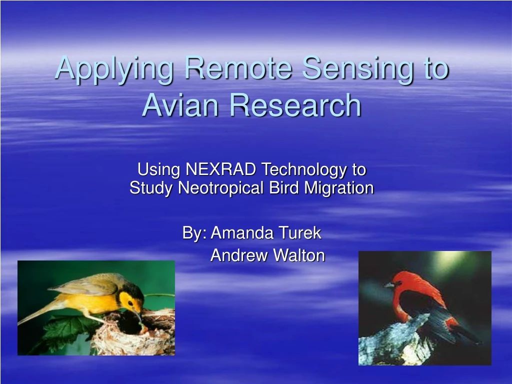
Applying Remote Sensing to Avian Research. Using NEXRAD Technology to Study Neotropical Bird Migration By: Amanda Turek Andrew Walton. Facts About Neotropical Bird Migration. What is a neotropical bird? Why do these birds migrate?. Why do we care about their migration?.

E N D
Applying Remote Sensing to Avian Research Using NEXRAD Technology to Study Neotropical Bird Migration By: Amanda Turek Andrew Walton
Facts About Neotropical Bird Migration • What is a neotropical bird? • Why do these birds migrate?
Why do we care about their migration? • Placement of cell towers, wind turbines, and most appropriate airplane routes • High cost of bird strikes to aviation industry • Protection of key stopover sites
Major North American Flightways • “The common highways that different bird species use for their unique migration routes” • 4 major flightways: • Atlantic • Mississippi • Central • Pacific
Using Radar to Detect Migration • Radar: Radio Detection And Ranging • Uses microwave part of electromagnetic spectrum (1cm-100cm) • Active sensor (allowing data collection at night- birds fly at night during migration!)
Doppler Radar • Doppler Effect discovered by Austrian scientist Christian Doppler in 1842 • Doppler Effect = “the physical phenomenon marked by change in frequency dependent on the motion of an object toward or away from a point”
Doppler Radar (cont’d) • Is primarily a weather radar • Projects radio waves from an antenna • Objects in the air “scatter” the waves back • Rain, snow, hail • Dust & particulates • Insects, bats, BIRDS • Measures change in frequency of scattered waves
NEXRAD • Next Generation Weather Radars • A.k.a. “88D”
NEXRAD (cont’d) • Maximum range: 143 miles • 2 modes • Precipitation Mode • Clear Air Mode
Using NEXRAD to Detect Birds • How to tell birds from precipitation (in Clear Air Mode): • Frequency • Light rain 5-10 dBZ • Birds <30 dBZ • (Severe Thunderstorm 45-50 dBZ… Precipitation Mode only) • Velocity • Direction
Conclusion • NEXRAD and GIS have been successfully combined to produce maps of key stopover sites in need of protection. • "One man's meat is another man's poison" paraphrasedOne scientist's contamination is another scientist's data.
Acknowledgements Airforce Link website: http://www.af.mil/news/airman/1298/birds2.htm Aviation Safety Division website: http://www.afsafety.af.mil/AFC/Bash/home.html “Bird Migration”: http://www.birdnature.com/migration.html College of Dupage; Next Generation Weather Lab, Understanding Velocity Data webpage: http://weather.cod.edu/notes/radar/velocity.mainpage.html Dr. Nancy French, “Intro to Imaging Radar Basics”, lecture 16: 2004 Smithsonian National Zoological Park website: http://nationalzoo.si.edu/ConservationAndScience/MigratoryBirds/Fact_Sheets/default.cfm?fxsht=9 The Nutty Birdwatcher, “North American Migration Flyways,” http://www.birdnature.com/flyways.html The New Jersey Audubon Society website: http://www.njaudubon.org Willams, Jack. The USA Today Weather Book http://www.usatoday.com/weather/wdoppler.htm