Download
1 / 14
140 likes | 142 Vues
This article explores the use of GPS receivers on the ground and satellites for atmospheric sounding, specifically focusing on the measurement of excess phase and bending angle. It discusses ground-based sounding, satellite-based sounding, and the vertical structure of the atmosphere. The contribution of GPS stations to the COPS/GOP project is also highlighted.

E N D
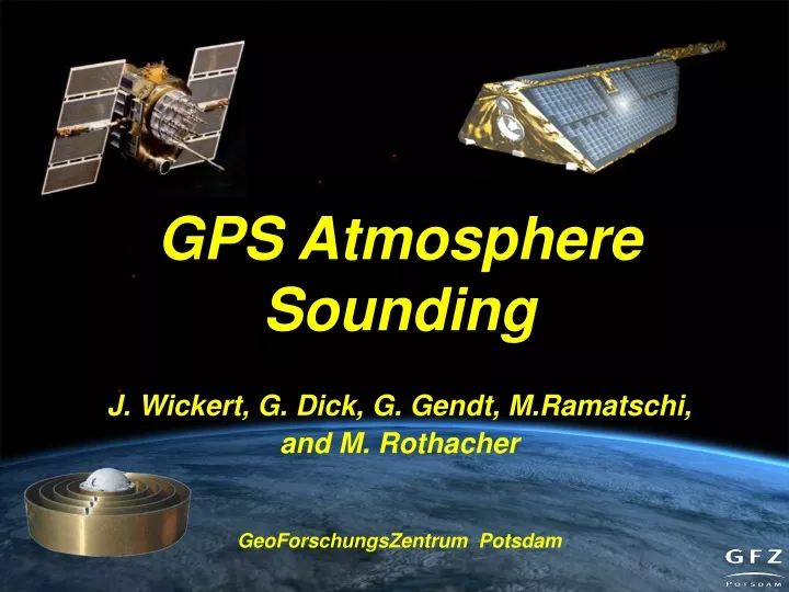
GPS Atmosphere Sounding J. Wickert, G. Dick, G. Gendt, M.Ramatschi, and M. Rothacher GeoForschungsZentrum Potsdam
From „Errors“ to signals Atmospheric excess phase (optical phase length) Bending angle GPS receivers at the ground and aboard satellites
Ground based GPS isotropic water vapor distribution & known 'mapping'-Function (~1/sin Θ) Θ Result:Zenith Path Delay (ZPD) (with mm accuracy) dry, hydrostatic wet ZPD = ZHD + ZWD ZHD = f (Press) [±1 mm accuracy] PWV = Π (Tm) • ZWD Additional data:pressure and temperature at the station Additional parameter: gradients (North-South, East-West); new: slants
Global (Analysis of ~ 180 stations at GFZ) GPS ground networks
GPS ground networks Regional densified (e.g., Germany, ~250 stations in near-real time)
Comparison of GPS-IWV with WVR, RS and LM at Potsdam/Lindenberg
GPS aboard satellites for occultations TerraSAR-X (launch 2006/7) GRACE (since 2002) CHAMP (since 2000) COSMIC (6; launch April 14, 2006) Metop (launch June 30, 2006)
Vertical structure of the atmosphere • Global, very precise, high vertical resolution • All-weather, calibration free
National NRT occultation project • Continuous provision and usage of NRT RO data together with weather prediction centers ECMWF, DWD and Metoffice • Goals: • provision of NRT RO data (~2h latency • assimilation to NWP (impact studies) • real assimilation to NWP planned • other user are invited to use NRT data
GPS ground stations for COPS/GOP • ~60-70 stations in the region • Integrated WVP (IWV) • slants • Near-real time provision (30- 45 min delay) • 15 min resolution in time • 1-2 mm accuracy
+ 5 additional GPS ground stations • Dry room • Power supply • Internet (optional) Shoke ring antenna Receiver+laptop