Download
1 / 52
520 likes | 527 Vues
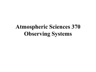
Atmospheric Sciences 370 Observing Systems January 2012. ASOS: Automated Surface Observing System: Backbone Observing System in the U.S. ASOS. Located at primary and secondary airports Sponsored by the FAA and NWS High quality instrumentation that is well maintained and calibrated.

E N D
ASOS: Automated Surface Observing System: Backbone Observing System in the U.S.
ASOS • Located at primary and secondary airports • Sponsored by the FAA and NWS • High quality instrumentation that is well maintained and calibrated. • Reported in METAR format (more later)
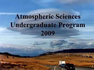
Laser Weather Identifier
Still used in many systems Anemometer Wind Vane
The ASOS Freezing Rain Sensor uses an ultrasonically vibrating probe to detect the presence of icing conditions. The vibrating frequency of the probe decreases with the accumulation of ice.
Lightning Sensor Visibility Sensor
METAR Format • ASOS data (and airport observations worldwide) are transmitted in METAR format. • Name came from the French words, MÉTéorologique ("Weather") Aviation Régulière ("Routine"). • Example: KSEA 042353Z 11008KT 10SM FEW050 SCT070 OVC090 09/03 A2879 RMK AO2 SLP756 60001 T00940033 10117 20083 58013 • Will learn more about it in Lab
Observing Heights (ASOS and most official obs) • Temperature and dew point (2-m) • Wind speed and direction (10-m)
Bureau of Land Management • RAWS • Agrimet • PAWS • Department of Ecology • Puget Sound Clean Air • BC Hydro • BC Olympics • Weather Underground • Many more! Other Surface Networks
NWNet: Regional Real-Time Collection of Over 70 Networks Over the Pacific Northwest
Networks of Networks UW: We collect data from about 70 networks in real time over NW Mesowest: Collects about 100 networks over the western third of U.S. Madis: national collection of mesonets
Ocean and Lake Weather Buoys Anchored
Drifting Buoys Pressure Wind
Ship Reports: Marine VOS Program Volunteers Observers--generally 6-hourly reports Highly variable quality and frequency
Satellite Microwave Scatterometer Winds
QuickScat Satellite Bounces microwaves off the ocean surface Capillary waves dependent on wind speed and directon
Radar Wind Profiler and RASS (Radio Acoustic Sounding System)
ACARS: Aircraft Observations Generally on wide-body aircraft Aircraft Communications Addressing and ReportingSystem
Cloud and Water Vapor Track Winds Based on Geostationary Weather Satellites
GPS Sounding • A constellation of GPS satellites orbit the earth. • A collection of other satellites can receive the GPS signal • By measuring the delay in time as the GPS signal is bent by the earth’s atmosphere, one can acquire density information that can be used to create temperature and humidity soundings. • Can do this with fixed receivers on earth or with receivers on satellites--the COSMIC project.
Typical Observation Errors at the Surface (Important when doing analyses!) • Sea Level Pressure • Low-Elevation land stations +-.5 mb • Ships +- 1-5 mb • Temperature: +-1C • Wind Speed: +-2-5 knots, very light winds often a problem—especially for classical anomemters. • Relative Humidity: +-10%