Download
1 / 14
140 likes | 213 Vues
NOAA ’ s NWS and the USGS: Partnering to Meet America ’ s Water Information Needs. Ernie Wells Hydrologic Services Division NOAA National Weather Service May 2, 2014. Complimentary Missions.

E N D
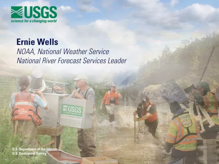
NOAA’s NWS and the USGS: Partnering to Meet America’s Water Information Needs Ernie Wells Hydrologic Services Division NOAA National Weather Service May 2, 2014
Complimentary Missions • NOAA's NWS provides weather, hydrologic, and climate forecasts and warnings… for the protection of life and property… and enhancement of the national economy. • The USGS… provides reliable scientific information to describe and understand the Earth, minimize loss of life and property from natural disasters, manage water…
Socioeconomic Impacts • On average, over the past 30 years in the U.S., flooding has caused over 90 deaths and damages in excess of $8 billion annually • Floods occur in all 50 states • Threat all months of the year 4
USGS Data Vital to NWS Operations • USGS data critical to the NWS river forecast and warning mission include: • Real-time and historical stream gage observations • Real-time supplementary stream observations during flood events • Rating curves relating flow to stage
Hydrologic Modeling Hydrologic Forecasting Satellite Data Precipitation Estimates River Gage Data Reservoir Releases Diversion Radar Data Precipitation Forecasts Snow Temperature Forecasts
http://weather.gov/ Serving America Together NWS Advanced Hydrologic Prediction Service (AHPS) Products rely on USGS data USGS Streamgage Observations
http://water.weather.gov/ Serving America Together USGS Streamgage observations serve as foundation for NWS river forecasts and warnings
The Warning Process 3 Respond Observe, monitor, detect, forecast and generate warning 1 2 Disseminate warning 9
Growing Water Challenges Population growth and economic development are stressing water supplies and increasing vulnerability A changing climate is impacting water availability and quality, increasing uncertainty An aging water infrastructure is forcing critical, expensive decisions Socio-economic risks of floods and droughts are escalating Blue Gold, “The New Oil”
Grand Challenges WATER SECURITY HYPOXIA HYDROLOGIC EXTREMES
Expanding our Partnership Integrated Water Resources Science and Services (IWRSS) • Framework to align and leverage multiple agencies with complimentary water-related missions to: • Integrate services and service delivery • Improve river and flood forecasts • Provide new summit-to-sea water resources analyses and forecasts ROADMAP DOCUMENT (2009) 12
New Digital Information Products • Pilot Snowpack Products • Proposed Summit-to-Sea Water Resources Products • Local Information (<1 km2) • Precipitation Snowfall • Snowpack • Soil Moisture Snow Depth • Evapotranspiration • Groundwater • River flow • Surface Storage Water Content • Water Quality Snow Cover Temperature • Watershed – to – National Information www.nohrsc.noaa.gov • USGS WaterSMART • Initiative • IWRSS Forecasts • Past • Present • Future Snowmelt
New Digital Information Products Flood Inundation Mapping and Analysis Simulated flood for rise of 7.4 feet Blanchard River near Findlay OH http://water.usgs.gov/osw/flood inundation/