Download
1 / 19
190 likes | 410 Vues
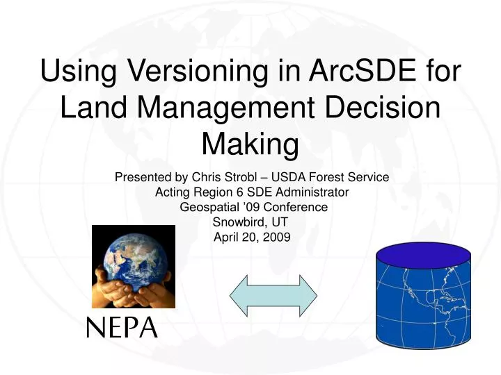
Using Versioning in ArcSDE for Land Management Decision Making. Presented by Chris Strobl – USDA Forest Service Acting Region 6 SDE Administrator Geospatial ’09 Conference Snowbird, UT April 20, 2009. NEPA. Saw capability for this use in various SDE training sessions

E N D
Using Versioning in ArcSDE for Land Management Decision Making Presented by Chris Strobl – USDA Forest Service Acting Region 6 SDE Administrator Geospatial ’09 Conference Snowbird, UT April 20, 2009 NEPA
Saw capability for this use in various SDE training sessions Experienced difficult project decision implementation due to data issues Wondering if anyone else is doing this, but haven’t found examples in the Forest Service Wanted to present concept to stimulate discussion Motivation/Context
Typically viewed as a corporate data repository Versions typically presented as a QA/QC tool or as a method for accommodating multi-user editing. Decision Support Systems could incorporate idea of versioning for alternative development and incorporation at the project/field level Use of ArcSDE in Natural Resource Management
Benefits: Closer coupling of corporate and project data Predictable and stable repository with robust backup Secure Editing and flexibility to assign access levels Ease of Integration at project end Concurrent Data Maintenance Others? Using SDE for Land Management Decision Making Timely and accurate implementation of land management decisions in corporate databases for better land stewardship! Equals
Using SDE for Land Management Decision Making Challenges: • Corporate tabular data may not be registered with Geodatabase • Potential SDE performance Issues • New way of looking at project data management • Others?
What is a Version? • Snapshot in time • Database at time version was created plus edits made in that version • Method to isolate users’ work • Edit without locking features • NOT a copy of data or the GDB Default Forest Edit 1 Edit2 Edit3
Creating Versions • Created from existing parent • Initially created from Default version • Not a copy of data or GDB • Any number can be created • Multiple editors on same version • Multiple editors on different versions Default Default Forest Edit 1 Edit 2 Edit 3 Edit 4
Project versions can coexist and be edited concurrently with ongoing data maintenance edit actions. Data maintenance versions can be pulled into project alternative versions. Project and Data Maintenance Versions Default Library Project Edit 1 Alt 1 Alt 2 Alt 3
Default Project 1 Edit 1 Project1_alt 1 Project1_alt 2 Project1_alt 3 Project Versions
Project Wrap-up • Export Versions as stand-alone Geodatabases • Re-point .mxds to stand-alone datasets • Archive data and projects • Clean up SDE Versions