Download
1 / 38
380 likes | 484 Vues
The Role of an Observing System in the Management of an Urbanized Estuary. James O'Donnell University of Connecticut. Overview. The setting and a couple of problems The LISICOS infrastructure Long-term trends in DO Lobster Habitat Overview. 2. Previous Work.

E N D
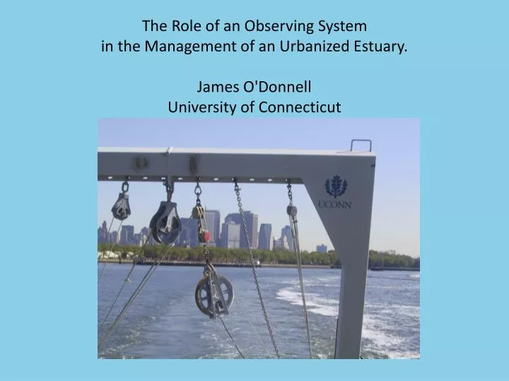
The Role of an Observing System in the Management of an Urbanized Estuary. James O'Donnell University of Connecticut
Overview • The setting and a couple of problems • The LISICOS infrastructure • Long-term trends in DO • Lobster Habitat • Overview
2. Previous Work http://www.sunysb.edu/libmap Long Island Sirvaide by Robartte Ryder, [1674]
Regional Issues • Eutrophication and Hypoxia • Fisheries • Navigation and Dredging • Energy infrastructure • Flooding and Climate Change
The Fix • Cost Benefit analysis suggest reduce N loadings by 50% • Model used to establish TMDL for each discharge • The expectation is that N concentrations will fall, and DO will increase over the next decade. • Costs are huge ~ Billion dollars • e.g. 2003- Gov. Pataki announced M$83 bond • e.g. 2006- Gov. Rell announced M$87 bond • Nitrogen Discharge trading: upper East River STPS and less at lower East River STPs, 1.9:1.0 trading ratio • On-going Controversy • In April, 2005 Supreme Court upheld position of CT and fined NYC ~$8,000,000
LISICOS Buoy Schematic MET (Ex Rocks, WLIS, CLIS, LedgeLight) PAR (WLIS) Datalogger, batteries, Near-surface sensor T,S,DO,PAR,ChlA Mid-water T,S,DO,PAR,ChlA Near-bottom sensor T,S,DO NOT TO SCALE
Access to CT DEP WQ Survey Data Monthly Ship Survey plan
Rapid decreases First Year (2004) Buoy Observations
Filtered Records Figure 1
Bottom DO and Surface Current from CODAR (2006) – demonstrates the influence of surface currents on bottom DO Negative surface current anomaly corresponds to positive d/dt of DO
Point 1 • Because of aliasing if high frequency (tidal and weather band) fluctuations, ship surveys are not able to detect small changes
Riley Stations 1953-1960 & CTDEP fisheries surveys Note that station distribution in time is irregular
CT & NY Lobster Landings crashed in 1999Has the habitat changed?Combine Surveys and moored arrays and Lobster trap data
Point 2 • If you know the magnitude and variability of the uncertainties (the known unknowns) then you can build them into maps and trend estimates
Wind stress could modulate area of hypoxia ? Wind is controlled by NAO
Point 3: To detect change, we need to average over several decadal cycles. • Point 4: We only have a few long data sets and they describe the ocean forcing (river discharge, wind, air temperature). To predict the consequences of warming we need to understand the MECHANISMS that link that variability to vairibility in things we care about.
Summary • Ship surveys, by themselves, are inadequate. • We need to know the high frequency variability in things we care about (nutrients, DO etc.) • We can’t expect the management impact to be detected for decades. • We need to understand mechanisms to exploit the long term records that we have.
Main Users and Collaborators • CT DEP • Water quality monitoring and data sharing • Bottom temperatures, habitat • EPA LIS Program • Transport modeling • Ecosystem model evaluation • USCG • SAR • National Weather Service • Cross-Sound Ferry • LIS fishing industry • LIS sailing fleet
Upcoming Collaborations/leverage in summer 2009 (funded projects) • Pete Raymond, Yale • CO2 flux at CLIS and regular sampling. Funded by Yale and Peabody Museum • Mark Altabet, U. Mass, Dartmouth • N2 flux and budget at WLIS with GTDs. EPA and Sea Grant • KamazimaLwiza, Stonybrook Univ. • Mixing and product in WLIS, EPA and Sea Grant • Bob Wilson, Stonybrook Univ. • Circulation in LIS, EPA and Sea Grant • Jim O’Donnell, UConn • Variability in mixing rates in Western LIS • Deployment of EPA nutrient sensors