Download
1 / 36
360 likes | 533 Vues
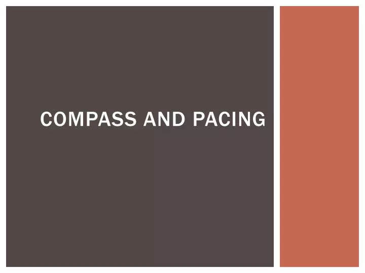
Compass and Pacing. The Compass. I want to go NW. First rotate the dial until it points the way you want to go Then rotate your body until the north arrow points north Walk in the direction of the arrow. Azimuths and Bearings. Compasses and Maps. Magnetic Declination.

E N D
I want to go NW First rotate the dial until it points the way you want to go Then rotate your body until the north arrow points north Walk in the direction of the arrow
Magnetic Declination The declination is given as e.g. "15 degrees east". When you look at the figure, you can pretend that plus is to the right, or east, and minus is to the left and west. So when something is more than zero you'll subtract to get it back to zero. And if it is less, you'll add. So in this case you'll subtract 15 degrees to the azimuth, by turning the compass housing, according to the numbers on the housing.
Additional considerations Compasses work underground unlike GPS Local magnetic sources can cause errors Can take a ‘backsight’ on where you came from to confirm that it is 180 degrees off the traveled azimuth. Compass and Pacing is a conclave competition.
Pacing 1 pace equals the natural stride of both legs starting and ending with the same foot. Can and should practice often – get consistent. Recognize that is varies by slope, must compensate.
Chains Conversions: 1 chain (1 ch) = 66 ft (100 links) 4 poles or rods = 1 chain 1 tally = 5 chains = 330 ft 20 chains = ¼ mile 80 chains = 1 mile 1 acre = 43560 square feet 640 acres = 1 section (square mile) 36 sections = 1 township 1 acre = 10 square chains 40 acres = 20 chains x 20 chains 1 section = 80 chains x 80 chains
Metes and Bounds Deed Surveys • Metes = distance to ‘turn’ of boundary • Bounds = direction • Historically the original 13 colonies and their derivative states (from the British surveying) • Problems: • Described boundary points often change • Doesn’t work well in homogenous landscapes • Corrected for declination? • Year surveyed?
GPS • Antenna • Receiver • Base map • Record tracks, waypoints, distance
Global Positioning System What is GPS?
Department of Defense developed for navigation • Standard positioning service (public uses) • Precise positioning service • Launches began in 1970s • Full operational capability in mid 1990s • ‘Selective Availability’ turned off 2000 • Degraded accuracy to ~100m History of GPS
Space segment – (satellite life = 10 years) • Several generations of satellites in use now • Control segment • User segment GPS system segments
Space Segment • 24 satellites with spares in 6 orbital planes (4 in each) • ~12,500 miles elevation • 55 degree inclination • Each one circles Earth every 12 hours (7000 mph) • At least 4 visible at every point on the earth at all times
Master Control Station (MCS) in Colorado • 5 Monitoring stations • Ground control stations (Ground Antennas) • Unmanned • Enable MCS to control the satellites Control Segment
Antenna Receiver Base map Record tracks, waypoints, distance User Segment
Triangulation Need D+1 satellites to determine position = 2D needs 3 satellites, etc How does it work?
Sources of error ionosphere • Dual frequency mode of more advanced receivers corrects
Sources of error - Satellite geometry Geometric Dilution of Precision (GDOP) – the higher the value, the poorer the measurement (very good = <4, bad = >6)
Recreation grade = ~8m • Mapping grade = <1m • Survey grade = several cm • Accuracy versus Precision • Accurate measurement versus true location • Precise measurements close to each other How accurate?
Most GPS in cell phones do not use satellites. They triangulate via cell towers whose locations are precisely known. The signal is not line-of-sight so they can work indoors. Does not work where limited cell service exists (like many forests). Accuracy varies (< 10 m to ~100 m). Cell Phone GPS
Geodetic surveying (magnetic) (Benchmarks) Surveying Methodology effects maps
Declination Calculating Software Online Calculators Magnetic declination
UTM Zones The Earth is divided into 60 UTM Zones following lines of Longitude. The continental US is covered by Zones 10 – 19 with each zone representing 6 degrees of longitude.
MAP PROJECTIONS Latitude/Longitude UTM/State Plane Lambert Conformal Conic
Geographic Coordinate Systems (based on Datums) Latitude, Longitude of curved surface Projections make math easier USGS Map Projections Projected Coordinate Systems Cartesian (X, Y) with designated origin and distance from origin
Area Determination • Compass and Pacing • Map with dot grid • Cut and weigh method • GPS • ArcGIS or similar mapping software