Download
1 / 48
480 likes | 485 Vues
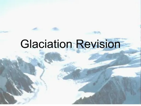
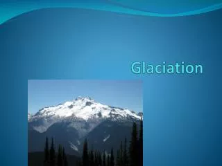
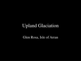
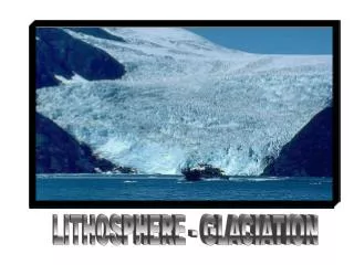
GLACIATION. Glaciation. Learning Objectives Understand the term glaciation Understand the formation of glacier ice. Discover how glaciers move. Learn about the different types of glaciers Have a brief understanding of the formation of landforms of erosion and deposition.

E N D
Glaciation Learning Objectives Understand the term glaciation Understand the formation of glacier ice. Discover how glaciers move. Learn about the different types of glaciers Have a brief understanding of the formation of landforms of erosion and deposition. Recognise all landforms on aerial photographs, os maps and diagrams.
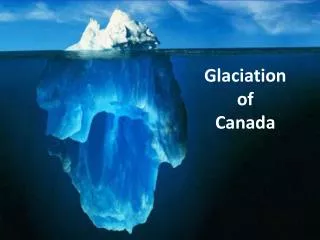
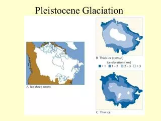
Glaciation • Glaciation refers to the spread of great ice masses of ice across large areas of land and sea. • There have been many ice ages (glacials) in the past.. • The warmer periods between ice ages is known as an interglacial • We are in an interglacial that started 10,000 years ago. • Today just 10% of the world is covered in ice and this is shrinking fast due to global warming.
Glacial periods Interglacial periods From “Glaciers” by John Gordon Colin Baxter Publications, 2001
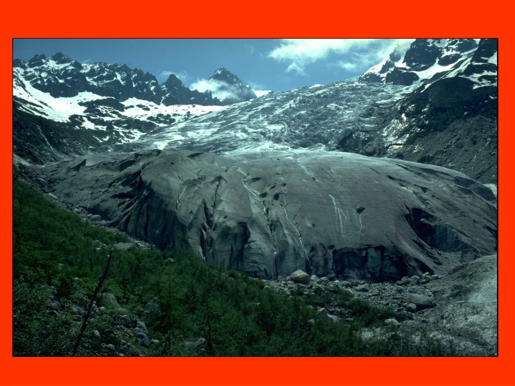
How Glaciers Form • Snow builds up during the winter (accumulation) and melts during the summer (ablation) • If accumulation is greater than ablation the snow builds up in layers • Pressure gradually turns the snow into ice. Becomes hard and blue. Called Firn or neve ice • When the critical mass of ice is reached, the ice begins to move downhill • A glacier is born!
Snowflakes are compressed and squeezed into ice crystals n.b. the colour changes from white to blue!
Activity Working in pairs write the keywords of glaciation into the back of your copies. Homework: Define the keywords into the notes section of your copy.
How Glaciers move • Ice moves downhill because of the force of gravity. • The movement of glaciers involves the processes of • Sliding • Plastic flow • Rotational slip • Gravity
Activity • Break into groups each group will be given a process of transportation to investigate. • Write the notes on the board for the class to share. • Traffic light the processes.. Teach each other!
Types of Glaciers • Corrie or cirque glacier – forms high up in the mountains in hollows. • Valley Glacier – when the glacier gets bigger and spills out of the hollow and down into the valley below. • Piedmont Glacier – When valley glaciers go onto lower lying land and meet each other.
Processes • Glaciers can shape the land by • Erosion • Transportation • Deoposition
Erosion • Plucking • Abrasion Lets guess what these processes are! Think about the sea for abrasion Think about the meaning of plucking!
Glacial ErosionGlaciers erode in two ways • Abrasion - this occurs when stones embedded in the bottom of the glacier scrape across the ground • Plucking - this occurs when the bottom layer of ice freezes on to the ground when the ice is stationary. When the glacier begins to move, bedrock material may be torn from the ground.
Landforms of Erosion • Remember only need a brief understanding of these! • Corrie/cirque • Arete • Pyramidal Peak • U shaped Valley • Ribbon Lake • Truncated Spurs • Hanging Valley • Fiord
Corrie/ Arete/ Pyramidal Peak • Corrie – an armchair shaped hollow high up in the mountains. • Arete – Two corries form back to back a knife edged ridge is formed. • Pyramidal Peak – When a number of corries form around a high mountain continued erosion of the back walls creates a peak
A corrie is a hollow in the hillside arete End moraine Corrie or cirque Lochan or tarn Mountain top
Aretes or sharp ridges arete corrie corrie tributary glacier main glacier
Aretes and pyramidal peaks Pyramidal peak Arete ridge
Glaciation Corrie – steep back wall contours close together in a ‘U’ shape. Often a lough near by called a Tarn. Arete- Contours close together. Usually In between two corries. Contours in a pointy shape.
U Shaped Valleys, Hanging Valleys, Ribbon Lakes • U Shaped Valley – when corrie valleys travel down hill they travel into existing V Shaped river valleys. They widen and deepen these valleys to create wide, flat floored U shaped valleys. • Hanging Valleys - valleys of former rivers which were glaciated. • Ribbon Lakes – hollows called basins were filled with water and were joined with a stream to form a chain of small lakes. Also called pasternoster lakes.
U-shaped valley Hanging valley Misfit stream
U Shaped Valley Contours close together. In a U Shape. River flowing along on flatter ground.
Ribbon lakes – two lakes connected by a stream. • Stream flowing along steep contour lines and then drop onto flatter land. • Fjord – u shaped valley filled with water. On map as a harbour.
Activity • Each group will be given a landform of erosion to discuss. • Using notes and your book put together a one minute presentation to give to the class on each landform
Glacial Deposition • When a glacier melts it deposits its load. Any material that is dropped by ice is called drift. • Drift can be large amounts of unsorted rock debris ranging in size from boulders to clay, sand and dust grains. • Drift can also be sediments dropped by meltwater (fluvioglacial deposits)
Deposition by ice:glacial depositioin by water:fluvio-glacial
Landforms of Deposition • Boulder Clay Plains • Moraine • Drumlin • Erratics
Boulder Clay Plains • Unsorted ground morraine (any material carried on, in or under the ice) • It is a mixture of soil and rocks.
Morraine • Any material carried on, in or under the ice. • There are many different types of morraine called depending on it’s location • Lateral • Medial • Recessional • End
Drumlins • Small oval shaped hills made from boulder clay. One side is steep and faces the direction of the ice movement. • The other end has a gentler slope.
Drumlins – appear light in colour. Contours in a circle. Look for a spot height. Eskers – roads and settlements located near or on eskers. Light coloured lines (not contours) on flat land.
Erratics • Large boulders that have been picked up by the ice in one area, transported long distances before being deposited on a landscape which may have a completely different rock type.
Landforms formed by fluvioglacial deposition • Outwash Plain – Large areas of sand and gravel which has been deposited across the landscape. 2. Eskers – long winding ridges of layered (stratified) sands and gravels created by rivers of meltwater flowing beneath melting ice sheets.
Activity • Each group will be given a landform of erosion to discuss. • Using notes and your book put together a one minute presentation to give to the class on each landform
End of Chapter • Traffic Light learning objectives. • Remember you only need to do a brief understand of these.. Recognise how they form and appear on os maps, diagrams and photographs.