Download
1 / 11
110 likes | 228 Vues
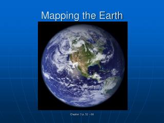
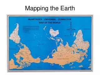
Mapping the Earth. Using Latitude and Longitude. Relative location : describing the location of a place in relation to another place. Absolute location : exact location of a place. I. Imaginary lines. circle the Earth north – south east – west create a grid – helps us find places.

E N D
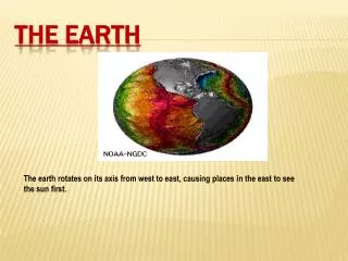
Mapping the Earth Using Latitude and Longitude
Relative location: describing the location of a place in relation to another place. • Absolute location: exact location of a place
I. Imaginary lines • circle the Earth • north – south • east – west • create a grid – helps us find places
II. Latitude • called parallels – run parallel to each other • measure distances north and south of the equator • imaginary line - halfway btwn No. and So. Poles • 0˚
distances measured in degrees • degrees are divided into minutes • 60 minutes are in a degree • parallels north of the equator are labeled N • south of the equator are labeled S
III. Longitude • called meridians • pass through the poles • measure distances east and west of the prime meridian • runs through Greenwich, England • 0˚
meridians east of the pm are labeled E • meridians west of the pm are labeled W
IV. Range • latitude: 0˚for equator to 90˚N or 90˚S for the poles • longitude: 0˚for prime meridian to 180˚in the mid-Pacific Ocean • using lat. and long., geographers can ID the exact (absolute) location of anything on Earth.
V. hemispheres • equator divides globe into Northern and Southern hemispheres (halves) • the prime meridian and 180˚meridian divide the globe into the Eastern and Western hemispheres