Download
1 / 19
190 likes | 408 Vues
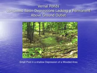
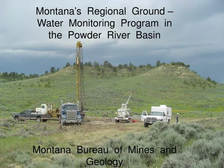
Montana’s Regional Ground – Water Monitoring Program in the Powder River Basin Montana Bureau of Mines and Geology. Coalbed methane production water by month. Note scale changes on each graph. Miles City. Forsyth. Powder. North Dakota South Dakota. Yellowstone

E N D
Montana’s Regional Ground – Water Monitoring Program in the Powder River Basin Montana Bureau of Mines and Geology
Coalbed methane production water by month. Note scale changes on each graph.
Miles City Forsyth Powder North Dakota South Dakota Yellowstone River Tongue Montana Wyoming Belle Fourche River Very simplistic : Ground water flows Generally north North Platte River Casper
Miles City Forsyth Powder North Dakota South Dakota Yellowstone River Tongue Montana 1/3 of PRB 10% of gas Wyoming 2/3 of PRB 90% of gas Montana Wyoming Belle Fourche River 1 North Platte River Casper
Powder River Basin, Montana Cross Section 1 South to North North South Wyoming Montana Tongue River Member Lebo Member Yellowstone River CBM Ground – Water Flow
0 5 15 25 35 45 55 4800 4300 3800 3300 2800 2300 1800 1300 800 Cross section along the Montana – Wyoming state line Hanging Woman Creek Powder River Tongue River A B 4800 4300 3800 3300 2800 2300 1800 1300 800 C D E H J F G I Lebo Shale Member Coal beds identified in cross section A Roland B Smith C Anderson D Dietz E Canyon F Carney Coal G Wall Coal H Knobloch I Roberts Coal J Kendrick
Montana Wyoming
Reduced water pumping rates in western parts of CX field Ash Creek Mine begins dewatering Reclamation began Figure 20. Water levels in the combined Anderson and Dietz coal (WR-34) in the Squirrel Creek area respond to both coal mining and coalbed methane production. The water level recovered starting in 2004 in response to water production decreases in this portion of the CX field.
Stratigraphic relationships Ground surface Shallow sandstone Anderson-Dietz overburden Anderson-Dietz Coal Altitude (feet amsl)
Stratigraphic relationships Ground surface Shallow Sandstone Wall Coal overburden Wall Coal Altitude (feet amsl) Water Level Altitude (ft-amsl)
Stratigraphic relationships Ground surface Sandstone Smith Coal Anderson Coal Canyon Coal Altitude (feet amsl) Water Level Altitude (ft-amsl)
Stratigraphic relationships Ground surface Smith Coal Anderson Coal Altitude (feet amsl)
Water / Gas Ratio varies considerably with time and well Area of Drawdown Extends 1 to 2 miles outside CBM Production Fields Recovery begins when CBM wells stop pumping Little vertical migration of drawdown