Download
1 / 12
120 likes | 254 Vues
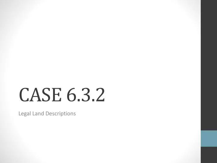
CASE 6.3.2. Legal Land Descriptions. FRIDAY, 9/21/12. Objectives: All property is legally defined and recorded based on a standardized regulatory system . Describe parcels of land using the rectangular survey system and the metes and bounds system. Bellwork :

E N D
CASE 6.3.2 Legal Land Descriptions
FRIDAY, 9/21/12 • Objectives: • All property is legally defined and recorded based on a standardized regulatory system. • Describe parcels of land using the rectangular survey system and the metes and bounds system. • Bellwork: • With the pieces of land that you claimed yesterday, which was easiest to describe for the land descriptions that you submitted? Why?
Why Legally Define Land? • Land is sold as private property in the United States • Selling land requires a description of property boundaries and size
US Systems of Land Description • Metes and Bounds • Uses physical features of geography • Used by original colonial states and some others • Rectangular Surveys • Also known as Public Land Survey System • Use meridians and baselines to divide land • Lot-and-Block System • Plat system • Used in town and cities to define small parcels
Metes and Bounds • Metes – boundaries defined by measurement, include distance and direction • Bounds – general boundary description such as waterways, roads, existing structure, and other physical markers • Three major parts are: • Starting point • Courses • Distances
Metes and Bounds • Starting points are natural or artificial monuments. • Courses are defined as a direction from one point to another and measured in a straight line. • Borders can be irregular due to rivers, lakes, or other natural boundaries Distance Starting point
Rectangular Survey • Set as the way of defining boundaries in the United States in 1785 • Provided for an easily understood description of land that could be used to determine size • Divides land into tracts, townships, sections, quarter sections and so on.
Meridian Initial Point Base Line Rectangular Survey • Townships located with: • A north-south line called a principle meridian. • An east-west line called a base line. • Crossing point is called the initial point.
T1N R1W Rectangular Survey • A tract is 24 square miles • Divided into 16 townships. • “range” lines – division of base lines • “tier” lines – division of meridians Base Line
Rectangular Survey • Each township is 6 miles by 6 miles • Townships are divided into sections • There are 36 sections in a township • 1 section = 1 square mile (640 acres) Township T3N, R3E Notice the method of numbering
E G H F C A D ½ section 320 acres W1/2 B ¼ section 160 acres • Sections are divided into plots/parcels of land measured in partial section or acres. Can you determine the acreage and legal description for each parcel?
Check for Understanding • What are the advantages/disadvantages of the rectangular survey system? • What are the disadvantages/advantages of the metes and bounds system?