Download
1 / 9
90 likes | 205 Vues
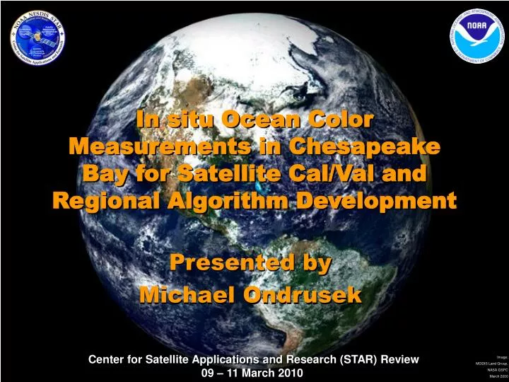
In situ Ocean Color Measurements in Chesapeake Bay for Satellite Cal/Val and Regional Algorithm Development. Presented by Michael Ondrusek. Requirement, Science, and Benefit. Requirement/Objective

E N D
In situ Ocean Color Measurements in Chesapeake Bay for Satellite Cal/Val and Regional Algorithm Development Presented by Michael Ondrusek
Requirement, Science, and Benefit Requirement/Objective • Ecosystems Goal - Protect, restore and manage the use of coastal and ocean resources through ecosystems-based management • The NOAA Ecosystems Research Program (ERP) provides scientific information and tools necessary for ecosystem management. – Develop a suite of tools for ecosystem forcasting that improves ecosystem understanding and decision making, and reduces risks to ecosystem and human health • The NOAA Ecosystems Observations Program provides observations, assessments, and ecological forecasts. - Improve observing system networks to provide information to advance understanding of the linkages between ecosystem processes and the abundance, distribution, and biodiversity of species. Science -Can satellite ocean color data be used to monitor short-term and long-term coastal ecosystem health? Benefit – Societal needs for improved Ecosystem Management and Monitoring. • Ecosystem Observations • Resource Managers
Coastal Optical Characterization Experiment Research • Calibration, intercalibration and error reduction of optical instruments and measurements (NIST, MLML-MOBY, NAVY, IPO cal/val) - Instrument Development - Straylight correction - Cross calibration with other groups and comparison of methods • Validation (NAVY, IPO cal/val, NASA, NOAA) - Routine optical measurements in the Bay - Collaborations with other agencies and locations • Algorithm development (NASA, NOAA CoastWatch, IPO Cal/Val, CBP) - Total suspended matter - Primary Productivity - Hi-res products - Product validation
Requires Accurate, Traceable, Measurements • Conducted inter-calibration of Satlantic Hyperpro and MOBY utilizing MOBY calibration source. • Plot showing agreement between source and field instrument • MOBY Hyperpro matchup • Annual calibration at Satlantic • Straylight correction of Hyperpro instrument. • Strength: increased accuracy and consistency with MOBY • Weakness: expensive and difficult. • Solution: Developed general straylight correction to apply to all Satlantic Hyperpros. • Benefit: Provides calibration traceability to MOBY at other locations.
Temporal and Spatial Sampling Resolution Utilized for Satellite Validation and Product Development Stations sampled during 2006 - 2008
Initialization and Validation of Current and Future Sensors (MODIS, HICO, MERIS, VIIRS) HICO: NRL Hyperspectral Imager for the Coastal Ocean Successfully launched 9/10/09, 5 nm spectral resolution from 380-1000nm 100m spatial resolution with 50 x 200 km scene size Oct. 20 Granule 1 2 HICO is mounted on the Japanese Experiment Module – Exposed Facility (JEM-EF) on the International Space Station Coastal Optical Characterization Experiment (COCE) – Optical characterization of biogeochemical processes and validation of ocean color sensors. Initialization experiment Conducted 10/20/09. Below are in-water spectra that will be used to validate HICO data collected during overpass. Image courtesy of William Synder (NRL)
Developing and Validating Hi-Res Coastal Products True Color Imagery Total Suspended Matter Chlorophyll Concentration The COCE Team is developing remote sensing tools that can be utilized by resource managers and ecosystem modelers to monitor stress indicators in coastal and estuarine waters.
Developing Tools to Monitor Runoff Events in the Bay March 6, 2008 March 9, 2008 March 10, 2008 March 11, 2008 March 12, 2008 March 13, 2008 March 14, 2008 March 15, 2008 The satellite ocean color products developed by the COCE Team can be utilized to monitor sediment sources and quantify sediments loads into the Chesapeake Bay. Above: The evolution of high sediment loads in the Northern Chesapeake Bay is demonstrated during a record rain event in the Chesapeake Bay Watershed during March 2008.
Challenges and Path Forward • Science challenges • Reducing errors in coastal ocean color satellite remote sensing • Reducing errors in coastal in-situ optical measurements • Improve and develop new regional ocean color satellite products. • Next steps • Work with IPO cal/val to reduce risk for NPP VIIRS launch and validate/evaluate performance after launch • Provide improved ocean color water quality monitoring products to Chesapeake Bay investigators • Transition Path • Work with Ocean Color Community and the Ocean Color Product Oversight Panel to ensure best ocean color data to maintain continuity in the climate data record