Download
1 / 32
350 likes | 687 Vues
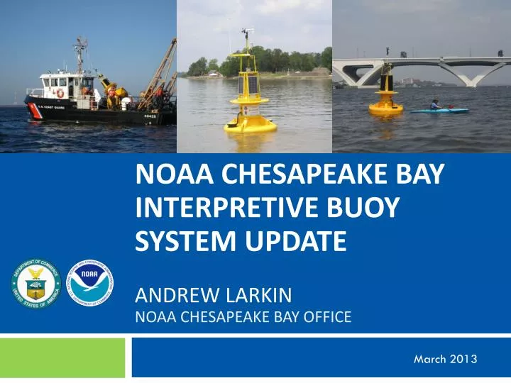
NOAA Chesapeake bay interpretive buoy System Update ANDREW LARKIN NOAA Chesapeake Bay Office. March 2013. NOAA Chesapeake Bay Office. Science. Service. Stewardship. Coastal Management Blue Crab & Oyster Policy Multi-species Fisheries Management Habitat Restoration.

E N D
NOAA Chesapeake bay interpretive buoySystem UpdateANDREW LARKINNOAA Chesapeake Bay Office March 2013
NOAA Chesapeake Bay Office Science Service Stewardship • Coastal Management • Blue Crab & Oyster Policy • Multi-species FisheriesManagement • Habitat Restoration • Fisheries Science • Integrated Assessments • Marine Debris • Remote Sensing • Coastal Observations • Habitat Characterization • Ecosystem Mapping & Modeling • Hands-on Student Learning • Teacher Training • Education Resources • Community Education • Outreach • Communications
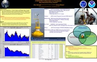
Presentation Objectives • Learn about the Chesapeake Bay Interpretive Buoy System • What does CBIBS do? • How can you access data from CBIBS • Touch on scientific uses of the buoy data • Learn about some other cool stuff NOAA is doing in Hampton Roads (time permitting)
Anatomy of a Buoy Presently CBIBS buoys based on the Tideland Signal SB138P, modified by AXYS Technologies as their WATCHKEEPER Buoy. 14’ tall ( ~10’ above WL) 1300 lb 400 A-h batteries 80 W solar panels 2500 lb anchor Rotomolded polyethylene 1” Mooring Chain w/2.5:1 Scope • Present sensors measure : • Wind Speed and Direction (R.M. Young 5103) • Air Temperature and Relative Humidity (Rotronics MP101A) • Barometric Pressure (Vaisala PTB101) • Water Quality (Temp,Salinity, Diss Oxygen, ChlA, Turbidity) • (WETLabs / Seabird WQM) • Current Profiles (Nortek 1 mHz AquaDopp) • Wave Parameters (Height, Direction, Period, etc) • AXYS TriAXIYS wave sensor • Data Transmission via Cellular Network • Flexible DCP allows addition of ANY sensors • “Moon Pool” wells allow access to instruments from surface • Planned sensors include Nitrate, Phosphate, Water Level (GPS), • Camera, Acoustic Fish Detection, AIS …
Buoy Locations Susquehanna River (S) Near Havre de Grace, Maryland 39° 32.541' N, 76° 04.495' W
Buoy Locations Patapsco River (SN) Near Baltimore 39.15191N, 76.39115W
Buoy Locations Annapolis (AN) Near the Mouth of the Severn River 38.9631N, 76.4475W
Buoy Locations Upper Potomac (UP) Near Washington, D.C. 38° 47' 15.6" N, 77° 02' 08.34" W
Buoy Locations Dominion Gooses Reef (GR) Off the Mouth of the Little Choptank River 38 33.375 N, 76 24.882 W
Buoy Locations Potomac River (PL) Near Point Lookout 38.0330N, 76.3355W
Buoy Locations Stingray Point (SR) Near Deltaville, VA 37.5517 N, 76.2514 W
Buoy Locations James River (J) Near Jamestown 37.20417N, 76.7775W
Buoy Locations Elizabeth River (N) Near Norfolk 36 50'40.10" N, 75 18' 01.74" W
10th buoy: Final Location on Mainstem 10th CBIBS Buoy located at mouth of the Bay Near Chesapeake Bay Bridge Tunnel Damaged by Hurricane Irene & Superstorm Sandy Repaired & Relaunched
Buoy Data Important for Health and Safety • Coast Guard and Coast Guard Auxiliary use wind/water temperature data to determine safety requirements for their crews • National Weather Service uses buoys to calibrate and develop their marine weather forecasts
Buoy Data Used for Public Outreach CBF ran story in Bay Daily on 8/20/2010 about Elizabeth River DO problems Spikes in chlorophyll/algae from Aug 6-14 coincided with observed mahogany tides Corresponding spikes in DO from Aug 6-14 indicate high levels of photosynthesis A few days later as algae began to decompose DO plummeted to unhealthy 2-3 milligrams per liter
Buoy Data Tracks Low Dissolved Oxygen “Alarming ‘dead zone’ grows in the Chesapeake” (Washington Post, July 24,2011) “A giant underwater “dead zone” in the Chesapeake Bay is growing at an alarming rate because of unusually high nutrient pollution levels this year, according to Virginia and Maryland officials. They said the expanding area of oxygen-starved water is on track to become the bay’s largest ever.”
www.buoybay.noaa.gov Also check out the Mobile Device Webpage at buoybay.noaa.gov/m
Android and iPhone Applications Search for “Smart Buoys” or “NOAA Smart Buoys”
Live Oyster Presence • 50 grabs on shell bottom • 17 grabs with live oysters • 23 live oysters observed
NOAA Supports Oyster & Wetlands Restoration in Lafayette River
Community Engagement Outreach and Environmental Science Training Center Experiential Learning for K-12 Classrooms B-WET NOAA InternshipsCollege and Early Career In-Depth Studies in High SchoolEmerging Scientist Project Educational Programming at NCBO NOAA @ Nauticus Exhibits, Lecture Series, Education Resource Center Chesapeake Bay Interpretive Buoy System Curricula, Web-Based Investigations Strategic Initiatives • Summer Camps • Learning through Observations • Collaboration
Environmental Literacy & B-WET Grant Funding • Virginia Beach Public Schools (6th grade) & Chesapeake Bay Foundation • Norfolk Public Schools (4th grade) and the Elizabeth River Project