Download
1 / 15
150 likes | 248 Vues
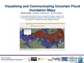
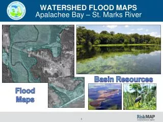
Flood maps – Modeling a levee break. http://www.msa.saccounty.net/waterresources/stormready/default.asp. Flooding. Urban flooding Paved areas and storm sewers increase runoff by inhibiting infiltration

E N D
Flood maps – Modeling a levee break http://www.msa.saccounty.net/waterresources/stormready/default.asp
Flooding • Urban flooding • Paved areas and storm sewers increase runoff by inhibiting infiltration • Rapid delivery of water to streams increases peak discharge and hastens occurrence of flood • Flash floods • Local, sudden floods of large volume and short duration • Typically triggered by heavy thunderstorms
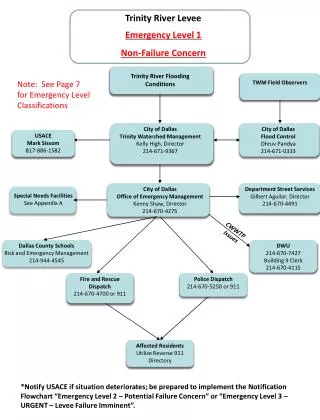
Flooding • Flood control • Dams designed to trap flood waters in reservoirs upstream and release it gradually over time • Artificial levees designed to increase capacity of river channel • Works well until stream overtops artificially raised levees, leading to extremely rapid flooding and erosion • Wise land-use planning, including prevention of building within 100-year floodplains, is most effective
Real-time river data http://cdec.water.ca.gov/river/rivcond.html http://cdec.water.ca.gov/river/americanStages.html