Download
1 / 9
90 likes | 314 Vues
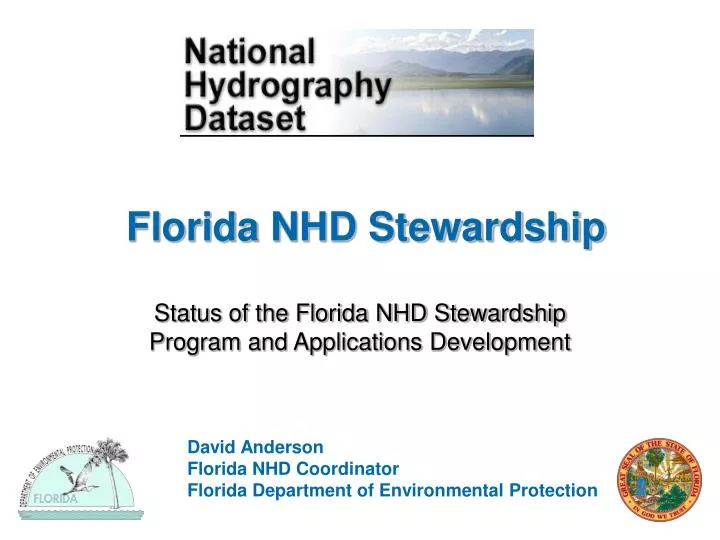
Florida NHD Stewardship. Status of the Florida NHD Stewardship Program and Applications Development. David Anderson Florida NHD Coordinator Florida Department of Environmental Protection. Stewardship & Maintenance in Florida. Florida has very unique hydrography related to

E N D
Florida NHD Stewardship Status of the Florida NHD Stewardship Program and Applications Development David Anderson Florida NHD Coordinator Florida Department of Environmental Protection
Stewardship & Maintenancein Florida • Florida has very unique hydrography related to • Less topographic relief than most states • Highly drained soils • Large regions of restoration • Large areas of tidally influenced, precipitation influenced and transfer influenced areas • Florida Department of Environmental Protection has taken the role of primary data steward • Operating under a combined Stewardship model • Administrative, Data Steward, Distribution and engaging maintainers to act as local data stewards • Stewardship agreement is close to being finalized
Water Management Districts Three WMD are developing enhanced ArcHydro Models Two WMD have very limited funding and therefore will depend on DEP to complete NHD maintenance St. Johns River contracted with Jones Edmunds and Assoc. and committed over 35,000 edits to the NHD.
Current Status of Stewardship • Statewide data sets of high (1:24,000) and medium resolution (1:100,000) to the FDEP spatial data services • Initial pGDB for public download is available (Non-network & Network) • USGS-DEP Memorandum of Understanding for Stewardship • Funding for NHD maintenance & startup funds has been approved • 5-year Statement of Work has begun • NHDinGeo Edit Training will be scheduled for mid-June to mid-August time frame in Tallahassee, FL for maintenance editors
Currently Proposed Plans for Maintenance & Stewardship • Development of NHD Maintenance Working Group at DEP • Use of the developed 10M & 5M DEM to determine intermittent streams at local resolution • Development of a Florida Hydrography Dataset (FLNHD) based on the NHD schema with Value-Added Attributes to meet Florida’s business needs • Work with the Florida ArcHydro Working Group (FAHWG) to develop extraction/translation tools • Update of datasets to the NHD every six months • Provide a common data dictionary to all users
Activities Surrounding the NHDin Florida • Submission of 35,000 edits from St. Johns River Water Management District • Review of NHD edits has been started based on TMDL wrong resource information (3000+ edits in review) • Current federal Geographic Names Database including variant names is in review • Impaired Waters Rule Analysis(IWR)– Catalog and link Water Quality Monitoring Stations, Assessment Units, TMDL Basins and Planning units • Ambient Monitoring – Probabilistic Network setup on 100k NHD • Springs Protection (Springshed surface water interactions, Potentiometric Surface Maps) • Nutrient Criteria Model Development (Landscape Development Index) • Watershed Assessment and Data Management (WBID)
NHD Applications • Currently small applications are being done for EPA requirements under TMDL and Strategic Monitoring Programs • Tool development • Exchange-Translation tool for NHD <-> Arc Hydro (SF/SJR) • Network Identity Tool to identify impaired waters (DEP) • Flood determination tool – HAZMUS(MR2) (USGS) • ArcHydro as the primary data integration model (?) • Identify additional applications needed by stakeholders within the NHD framework
Additional Florida Stakeholder Needs • Spring/Seep – enhance by separating category and type for specific karst features (i.e. springs, seeps, sinks, swallets) • Wetlands – enhance by type (using a specified method such as Ramsar Classification?, or typing by lacustrine, riverine, etc.) • Estuaries – enhanced by type (salt-wedge, fjord, well mixed, partially mixed) • Self-draining basins – identify as contributing, non-contributing • Develop consistent identity to stream/river connections in self-draining basins • Identify cross feeds between basins from flow changes • Additions of bidirectional flows • Tidally changed by direction, Transfer changes direction, Precipitation charged events
U.S. Geographic Names Information System- Florida Board of Geographic Names • Legislation to be introduced to develop an official Board of Geographic Names for Florida • Currently only one member of the original board is still active • Purpose would be to interpret if the names meet Federal GNIS standards and if duplicates exist • NHD interaction - provide additional local names to GNIS for consideration on hydrologic data • Questionable naming of features which may include racially prejudiced or provoking names