Avian UAS
100 likes | 140 Vues
Expert deployment of ground and aerial systems for professional photography, video, land surveying, 3D laser scanning and 2D mapping applications

Avian UAS
E N D
Presentation Transcript
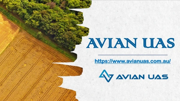
Avian UAS https://www.avianuas.com.au/
AERIALEXPERT Faster ……. Safer…….Smarter
WHO ARE WE? • The team at Avian UAS are industry experts in capturing and processing high-quality images, video and data across Melbourne, Sydney, Brisbane and Adelaide. • Our proven workflows, expertise and state-of-the-art equipment deliver safe, accurate and efficient services encompassing: • professional photography, video and video production; • asset, site and building inspections; • land surveying and mapping; • laser scanning; and • 3D models of the built environment • Our team pride themselves in solving real-world problems using our collective drive, knowledge and experience.
What We Do? • Meaningful data to inform decisions: Clients lack accurate, relevant or recent data to inform complex and costly decisions i.e. roof condition, asset defects on buildings, equipment or structures, the volume of material onsite? How large are the expected repairs or remediation works? What does the actual site look like today? • Risk minimization:Avoid lengthy permits, planning or placing workers safety at risk by using our platforms to undertake dull, dirty or dangerous work in difficult or risky situations on the ground, in a confined space and in the air. • Reduce costs:Avoid costly estimates or inaccurate contractors claims by obtaining accurate quality assurance about the conditions of worksites, buildings, structures etc. Costly repairs and rework can be avoided by inspections before, during and after the maintenance and contractor works.
IMAGES – VIDEO – THERMOGRAPHY – SURVEYING – MAPPING – LASER SCANNING – 3D MODELS
Our Service • Avian UAS specialize in ground and aerial data, image and video capture and processing. We use specialist methods to capture useable data to inform decision making, improve efficiency and reduce risks and costs for our clients. Servicing clients across Australia we add value to your business operations in the areas of safety, risk, operational costs and efficiency or create impressive photography and videos to promote your business projects.
AERIAL VIDEOGRAPHY & PHOTOGRAPHY • ASSET & BUILDING INSPECTIONS • LAND SURVEYING, MAPPING & 3D MODELS • RISK ADVISORY AND INTEGRATION • AERIAL BUSINESS SOLUTIONS
Contact Us Email: info@avianuas.com.au Contact No: 1300 081 115