Download
1 / 5
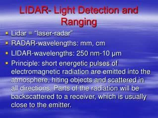
LiDAR (Light Detection and Ranging) Drone Mapping
60 likes | 196 Vues
LiDAR Drone Mapping by National Drones Australia is ideal for the regular inspection of power transmission lines to assess line sag and the proximity of vegetation to power lines. This provides energy providers with the ability to manage assets more proactively and predict potential outages.
Télécharger la présentation 
LiDAR (Light Detection and Ranging) Drone Mapping
An Image/Link below is provided (as is) to download presentation
Download Policy: Content on the Website is provided to you AS IS for your information and personal use and may not be sold / licensed / shared on other websites without getting consent from its author.
Content is provided to you AS IS for your information and personal use only.
Download presentation by click this link.
While downloading, if for some reason you are not able to download a presentation, the publisher may have deleted the file from their server.
During download, if you can't get a presentation, the file might be deleted by the publisher.
E N D
Presentation Transcript


More Related